 2Km
2Km
Note
 3.2Km
8.5Km
8.5Km
10.1Km
3.2Km
8.5Km
8.5Km
10.1Km
2Km
2.5Km
3.1Km
5Km
5.4Km
6.2Km
7.5Km
7.6Km
7.8Km
7.9Km
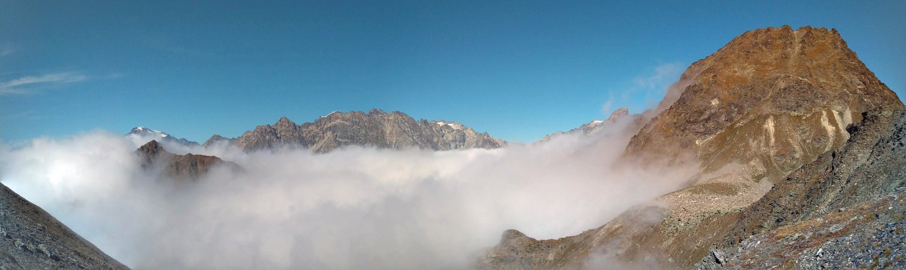
Giro breve ma remunerativo e assai panoramico, a cavallo tra la Valle di Saint Barthelemy e la conca di Torgnon.
Avvicinamento
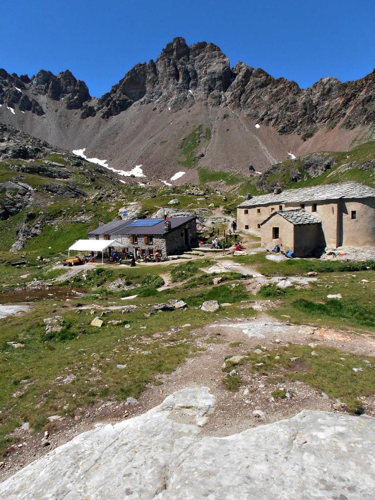
Da Torgnon capoluogo (Mognod) salire fino a Plan Prorion, parcheggiando l'auto di fronte al Bar-ristorante Lo Vierdzà, dove vi è l'area attrezzata e la partenza delle piste di fondo invernali.
Descrizione
Imboccare allora la sterrata che si distende in direzione ovest davanti all’area giochi, immettersi in breve nella strada asfaltata e, poco prima della seggiovia, seguire il segnavia n° 11 che parte a sinistra nel pascolo. Salire e innestarsi, a quota 1902 m, nella sterrata con segnavia n° 1, correndo in piano a monte degli alpeggi di Vieille; oltrepassare la seggiovia e raggiungere la baita di Fontarin 1948 m.
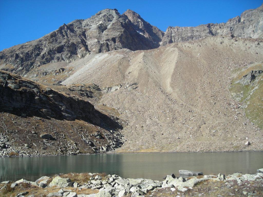
Qui incrocia il segnavia n° 9 che si segue fino al Col Fenetre 2162 m (ultimo tratto abbastanza ripido). Salire quindi con cautela i primi metri assai ripidi della cresta nord della Becca d’Aver, con gradini di pietra e catene d’aiuto, uscendo sul versante est della montagna in un tratto che si corre più agevolmente.
Alternare tratti d’impennata in cui occorre cautela a tratti più distesi, sui versanti est e ovest della montagna; guadagnare un primo contrafforte con ripida salita, quindi alcune roccette con catena, fino a un ultimo tratto che conduce alla croce di vetta.
Abbassarsi sulla cresta ovest-sudovest e imboccare il sentiero n°1 che si abbassa fino al Colletto d’Aver, quindi scendere nel bosco fino a un bivio dove si continua con il sentiero n°2 a destra, nel Bosco di Paquier. Ci si innesta in una sterrata che va seguita verso est fino al Col Des Bornes 1718 m.
Di qui seguire la pista con segnavia n°1 (d’inverno è la pista di fondo Maisonette), e poi, a un bivio, tenere la destra ritornando a Lo Vierdzà, punto di partenza.
- Cartografia:
- Valtournenche n° 2. Escursionista editore
Nelle vicinanze Mappa
Itinerari
30/06/2019 AO, Torgnon D+ 2200 m Varie
Tsan (Fenetre de), Col Terrày, Col du Salvè da Triatel, anello per Porliod e Torgnon
 3.2Km
3.2Km
19/08/2014 AO, Chamois D+ 1000 m Nord
Lod (Lago di) e Chamois da Buisson, anello per Maen
6Km
19/08/2011 AO, Nus D+ 1100 m Sud
Morion (Monte) da Lignan
8.4Km
31/08/2025 AO, Nus D+ 2300 m Varie
Salvè, Chaleby, Vessona, Vamea, Saint-Barthélémy (Colli) da Lignan, giro del Mont Faroma
 8.5Km
8.5Km
03/08/2014 AO, Nus D+ 1023 m Sud
Cuney (Rifugio e Oratorio di) da Lignan
 8.5Km
8.5Km
13/05/2012 AO, Fenis D+ 1250 m Nord
Tolomon (Bec) da Fenis
10.1Km
02/11/2019 AO, Fenis D+ 1000 m Varie
Pillier (Vallone del) da Fenis
10.1Km
09/07/2010 AO, Fenis D+ 450 m Nord
Cerise (Alpe) da Fenis
10.1Km
12/04/2014 AO, Fenis D+ 700 m Nord
Champremier da Fenis
10.1Km
01/05/2019 AO, Fenis D+ 1040 m Nord
Les Druges Vertical Fenis K1
 10.1Km
Servizi
2Km
2.5Km
Boule de neige B&B
Antey Saint Andrè
3.1Km
Blanche Neige Bar
Verrayes
5Km
Mathamel Giorgio B&B
Verrayes
5.4Km
Lavesè Ristorante
Saint-denis
6.2Km
Pession Ristorante
Antey-Saint-André
7.5Km
Tse fine e Marcel B&B
Verrayes
7.6Km
Lo scoiattolo Ristorante
La Magdeleine
7.8Km
Maison de Suis B&B
Chamois
7.9Km