400m
400m
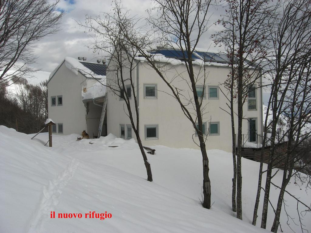
Descrizione
 2.2Km
3.3Km
3.8Km
4.4Km
5.6Km
7.4Km
2.2Km
3.3Km
3.8Km
4.4Km
5.6Km
7.4Km
400m
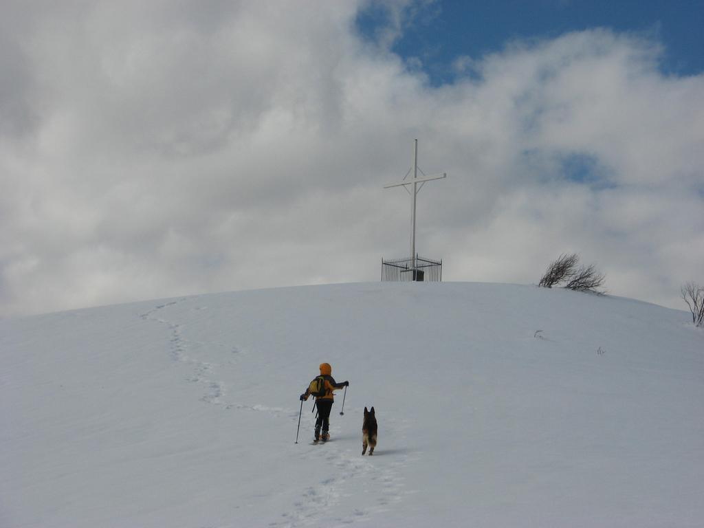
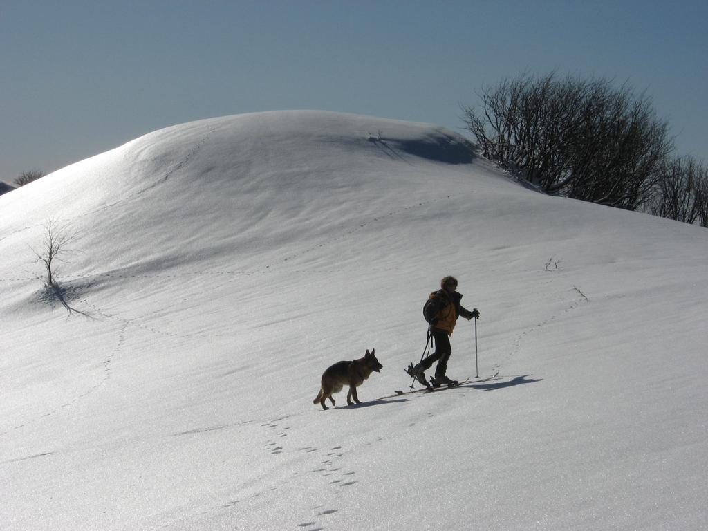
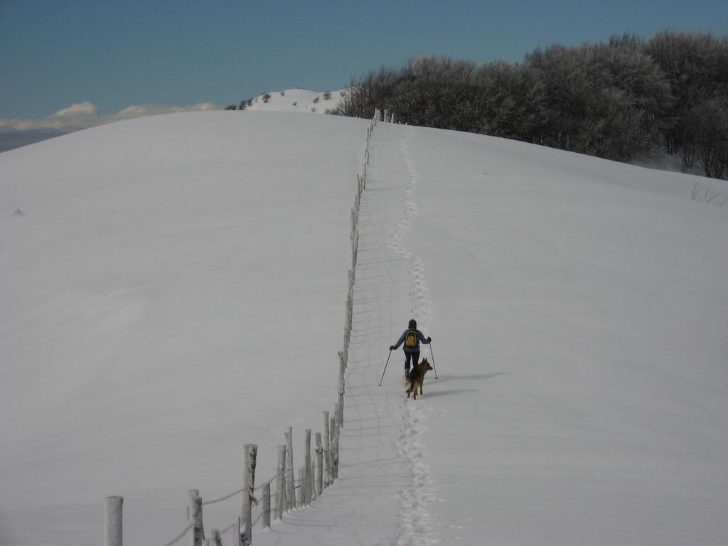
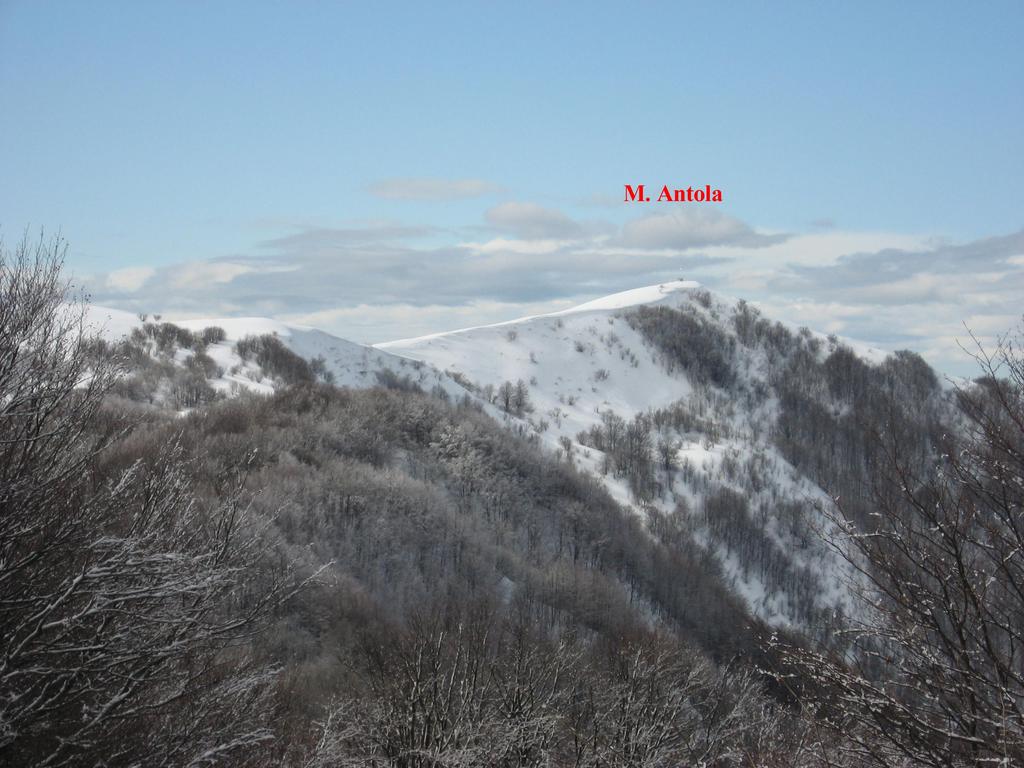
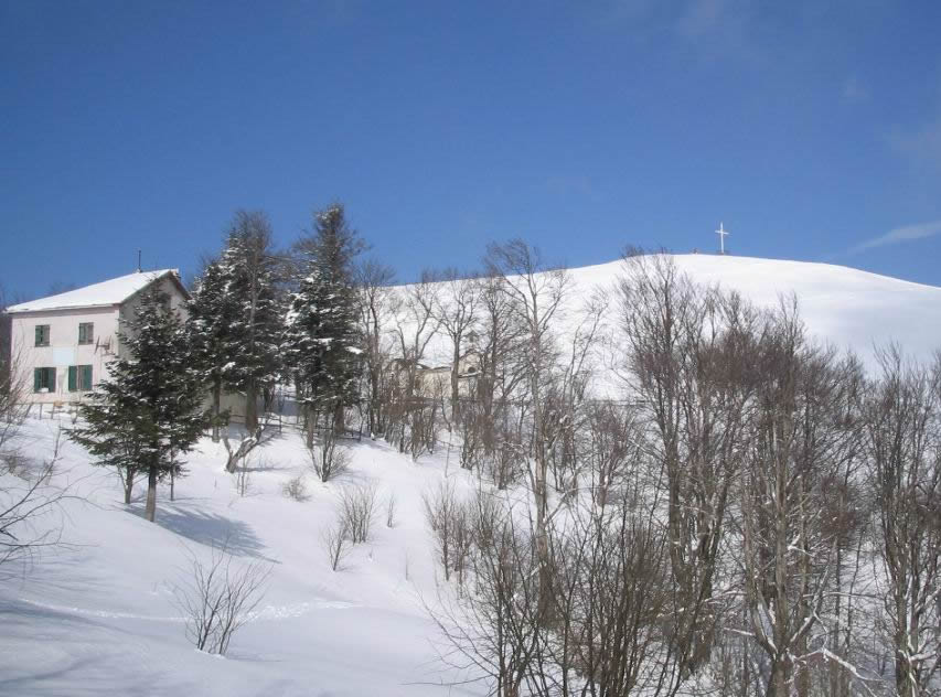
costiera E in falsopiano fino alla vetta
Nelle vicinanze Mappa
Itinerari
08/12/2008 AL, Carrega Ligure MS Nord
Chiappo (Monte) da Capanne di Carrega, traversata a Capanne di Cosola per Monte Cavalmurone
100m
07/01/2021 AL, Carrega Ligure D+ 398 m MS Ovest
Carmo di Carrega (Monte) dal Versante Ovest
 2.2Km
2.2Km
16/01/2021 GE, Gorreto D+ 636 m MS Nord-Ovest
Busasca (Monte) da Alpe di Gorreto
 3.3Km
3.3Km
12/12/2021 AL, Carrega Ligure D+ 642 m MS Nord-Ovest
Carmo di Carrega (Monte) da Carrega Ligure
 3.8Km
3.8Km
08/03/2005 AL, Carrega Ligure D+ 680 m MS Nord-Ovest
Rondino (Monte) da Carrega Ligure
3.8Km
13/01/2021 GE, Propata D+ 603 m MS Varie
Antola (Monte) da Caprile
 4.4Km
4.4Km
16/01/2021 GE, Propata D+ 637 m MS Sud-Est
Antola (Monte) da Bavastrelli
 5.6Km
5.6Km
16/01/2021 PC, Ottone D+ 643 m BS Sud-Ovest
Alfeo (Monte) da Bertone per Pendio SO
 7.4Km
7.4Km
14/03/2009 AL, Cabella Ligure D+ 300 m MS Nord
Legnà (Monte) e Monte Cavalmurone da Capanne di Cosola
8Km
12/02/2014 GE, Torriglia D+ 1500 m MS Tutte
Antola, Carmo, Chiappo, Ebro (Monti) da Donetta a Caldirola, traversata delle 11c ime
9.4Km
Servizi
400m