 1.5Km
1.5Km
Note
 12.8Km
15.2Km
16.9Km
17.5Km
23.8Km
12.8Km
15.2Km
16.9Km
17.5Km
23.8Km
1.5Km
1.5Km
1.9Km
4.2Km
4.9Km
5.8Km
6.6Km
6.8Km
7.9Km
9.2Km
Ottimo e accogliente il ristoro (piccolo bar) adiacente alle piste.
Molto adatto a famiglie con bambini e principianti. Ben esposto al Sole e relativamente al riparo dal vento.
Avvicinamento
Molto adatto a famiglie con bambini e principianti. Ben esposto al Sole e relativamente al riparo dal vento.
Dal paese di Valtournanche deviare a dx lungo la strada che conduce a Cheneil.
Descrizione
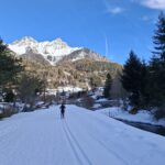
Nel suggestivo pianoro di Champlève, a 4 km dal centro di Valtournenche verso Cheneil, si trovano un anello per principianti lungo circa 1 km, un secondo di difficoltà media di circa 2,5 km ed un terzo con salita medio-difficile da 3,8 km, in zona tranquilla, soleggiata, molto panoramica sulle Grandes Murailles e le montagne circostanti.
L’accesso alla pista (nonché biglietteria) si trova in prossimità del Bar ” Lo Baraquién”, di fronte al parcheggio.
Località Champlève ( 1.840 m.):
Nelle vicinanze Mappa
Itinerari
15/02/2026 AO, Ayas 18 Km Rossa Tutte
Ayas – Piste di fondo
10.3Km
27/02/2026 AO, Torgnon 10 Km Blu Sud-Est
Torgnon Pista Maisonette e Grandes Montagnes
 12.8Km
11/02/2018 AO, Verrayes 13 Km Rossa Sud
Champlong
 15.2Km
20/02/2026 AO, Brusson 30 Km Tutte Varie
Brusson
 16.9Km
16/02/2026 AO, Nus 30 Km Tutte Varie
Saint Barthelemy piste da fondo
 17.5Km
30/11/2024 AO, Gressoney-la-Trinité 10 Km Rossa Varie
Gressoney la Trinitè – Pista di fondo
21.6Km
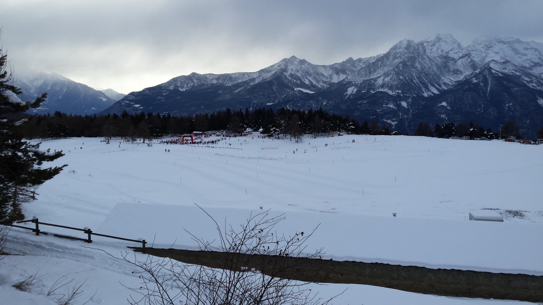
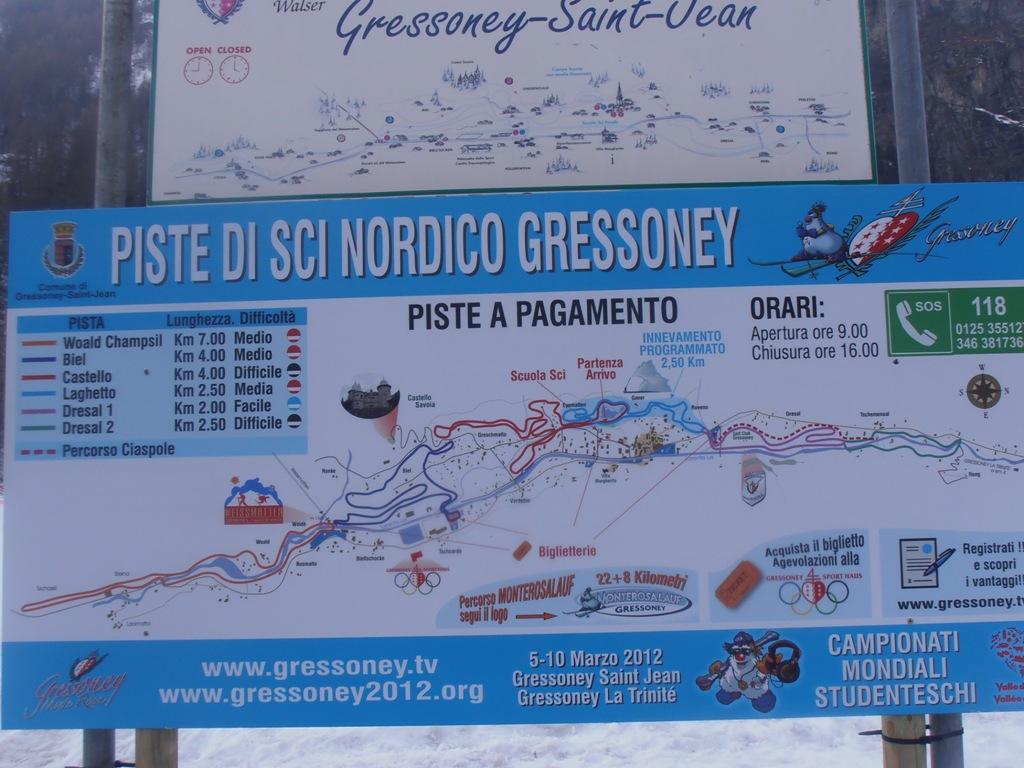
13/12/2019 AO, Gressoney-Saint-Jean Tutte Nord-Ovest
Gressoney Saint-Jean
 23.8Km
Servizi
1.5Km
1.5Km
Panorama al Bich Ristorante
Valtournenche
1.9Km
Pankeò B&B
Valtournenche
4.2Km
da Bruna Ristorante
Chamois
4.9Km
Bellevue Rifugio
Chamois
5.8Km
Maison de Suis B&B
Chamois
6.6Km
Pession Ristorante
Antey-Saint-André
6.8Km
Grand Tournalin Rifugio
Ayas
7.9Km
Lo scoiattolo Ristorante
La Magdeleine
9.2Km