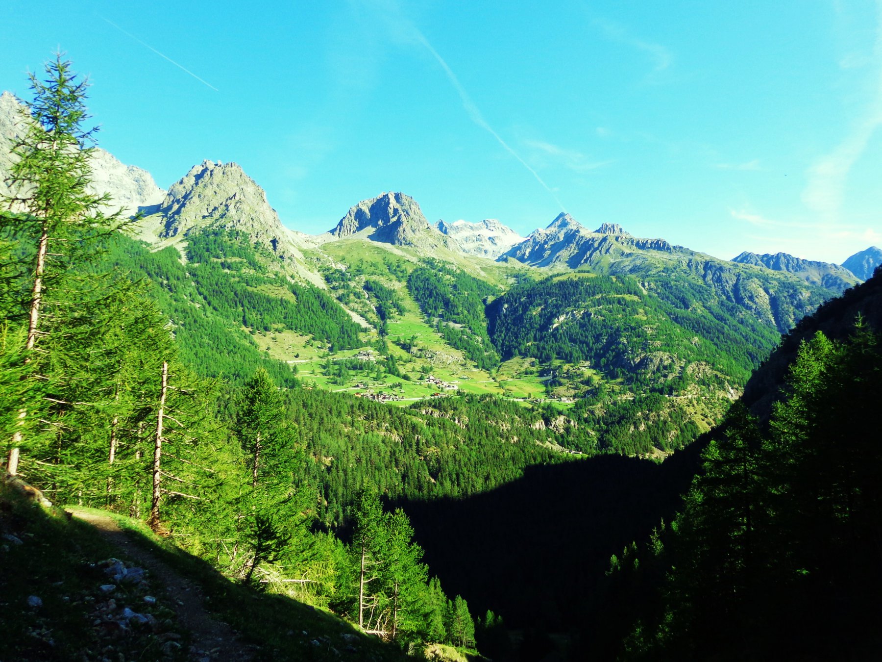
Giro molto lungo che può però essere agevolmente spezzato grazie ai numerosi punti d'appoggio presenti. La partenza da Oyace consente di non dover risalire lungo la valle dopo aver portato a termine la cospicua discesa del vallone di Vessonaz e allo stesso tempo dà l'opportunità di risalire la Valpelline sulla sinistra orografica tramite un itinerario sorprendentemente piacevole senza quasi mai avvertire la presenza delle strade e dei paesi dall'altra parte della valle.
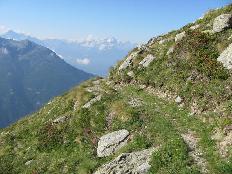
Particolarmente solitaria la salita al Col di Livournea, mentre sul versante opposto i punti d'appoggio favoriscono una maggior frequentazione. Bella la traversata 'alta' dal Col Terray al Col Chaleby su sentiero mai difficile ma sempre vertiginoso. Questo tratto prevede una variante ‘bassa’ qualora si intenda scendere al sottostante nuovo rifugio Magià per risalire in seguito a Cuney.
Il giro si può effettuare in giornata prevedendo dalle 12 alle 14 ore di marcia a passo deciso.
Lo sviluppo è di circa 45 km. e il dislivello complessivo supera di poco i 3000 metri.
Aosta-Gignod-Valpelline-Oyace
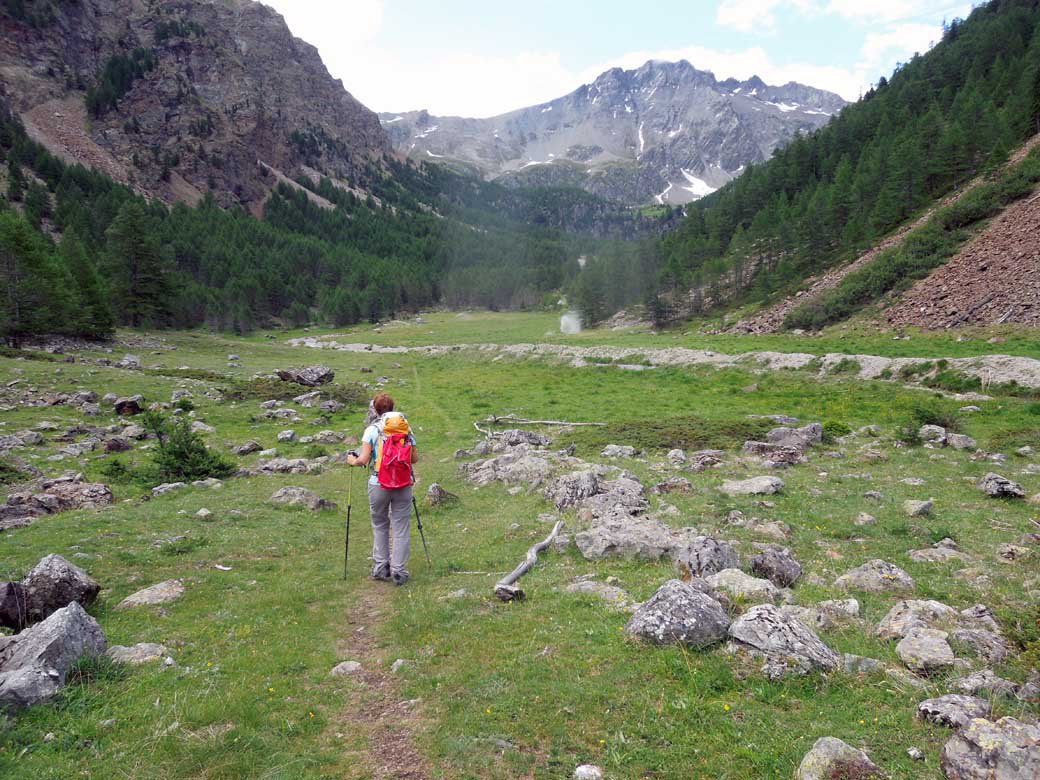
Da Oyace (chiesa) attraversare le case di Cretaz e prendere il tracciato dall’Alta Via 1 in direzione col Vessonaz ma lasciarla presto continuando verso Closè per poi iniziare a scendere verso il ponte di Betenda. In corrispondenza di alcune segnalazioni prendere una diramazione a sinistra meno evidente lasciando l’AV1 e continuare d’ora in avanti seguendo il segnavia 16 che identifica il percorso da Bionaz a Place Moulin. Si contorna un campeggio e si continua sul fondovalle, prima lungamente sulla destra orografica con alcuni interessanti scorci panoramici, e poi, dopo La Quelod, sulla sinistra orografica (ponticello crollato ma possibilità di attraversamento di fortuna). Si raggiunge e supera Poullayes per pervenire poi sotto la diga di Place Moulin. Stando sulla sinistra si percorre un tratto su vecchie strade di cantiere ormai inerbite e si raggiunge così la strada asfaltata e in pochi minuti il parcheggio nei pressi della diga. Sino alla diga il sentiero è abbastanza segnato e riconoscibile ma occorre prestare attenzione nelle vicinanze dei gruppi di case dove a volte si confonde e occorre usare un po’ di intuito. In questo primo tratto può rivelarsi utile una carta dettagliata o la traccia gps.
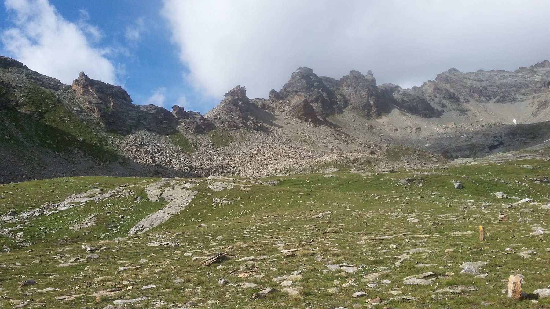
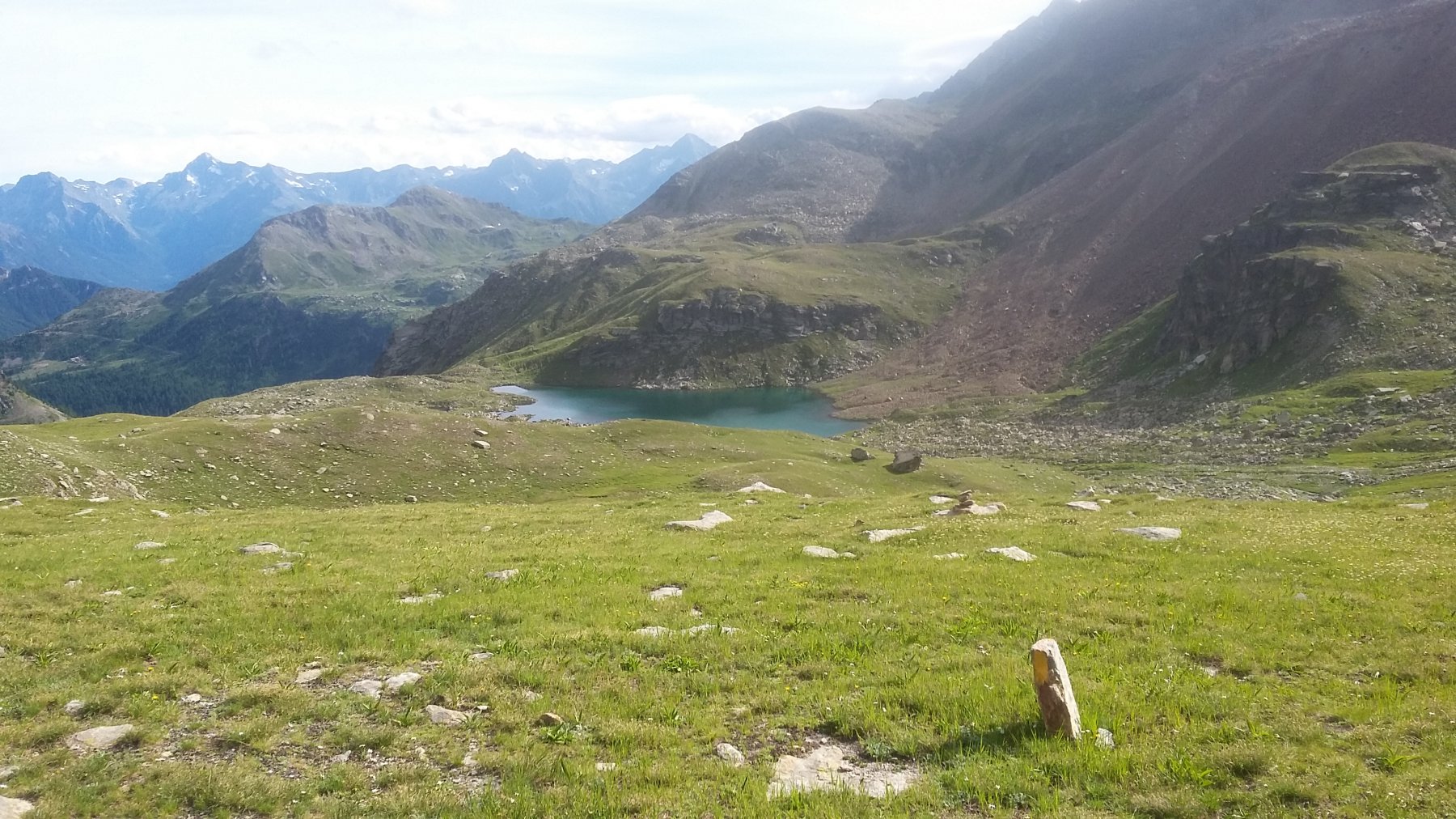
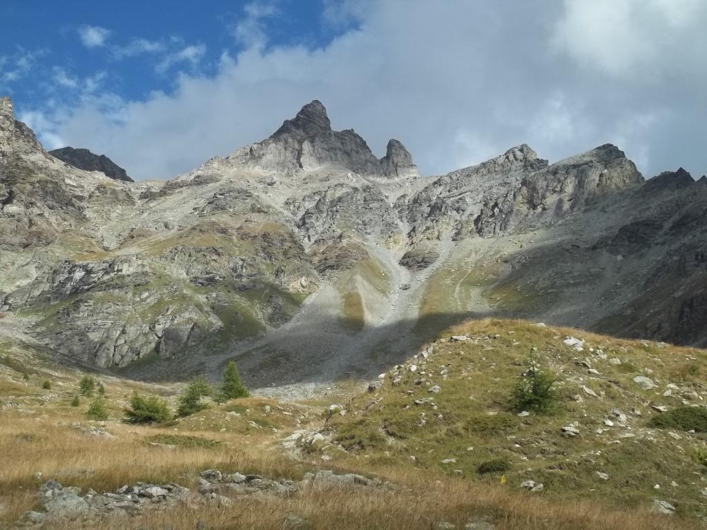
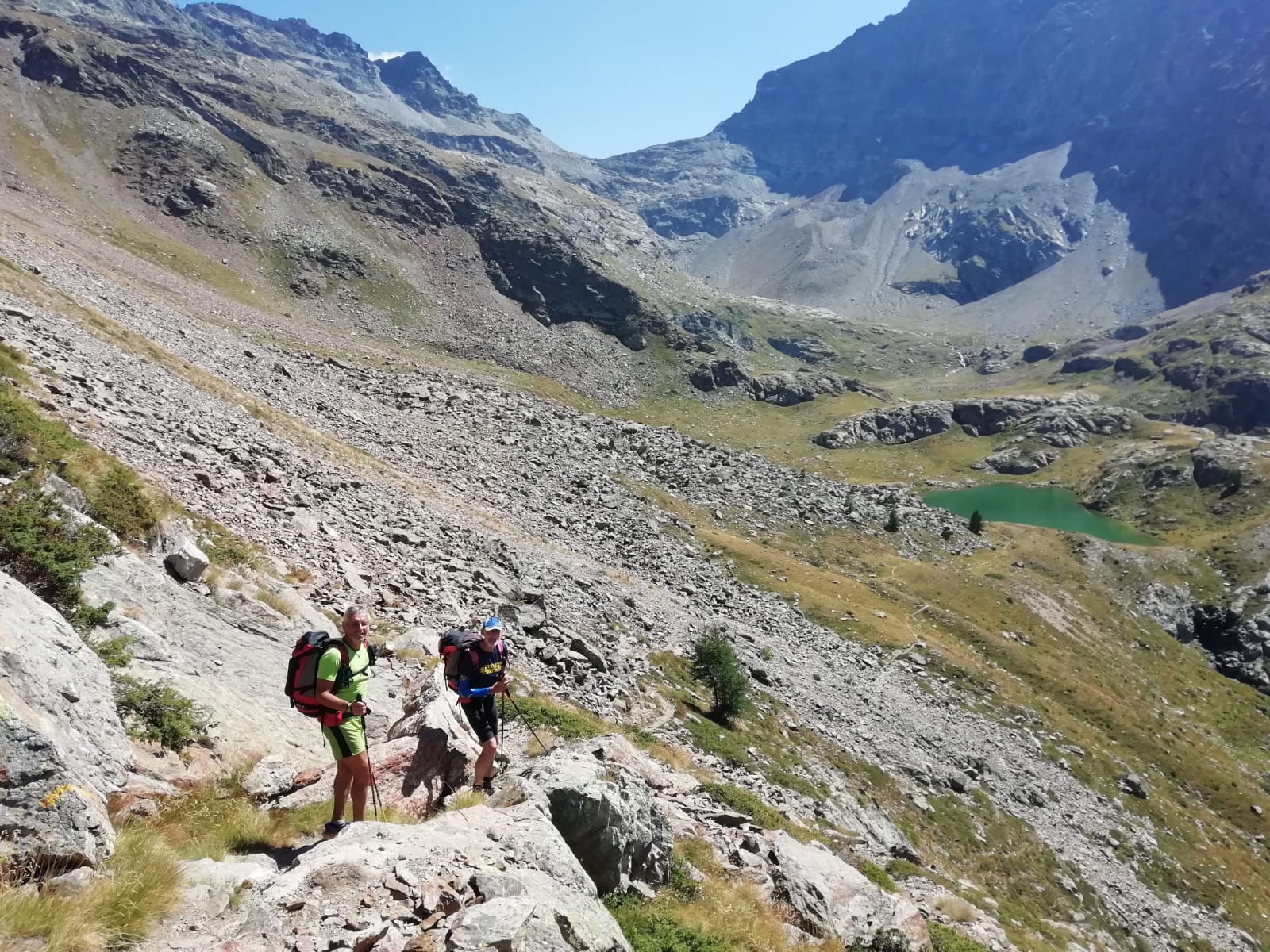
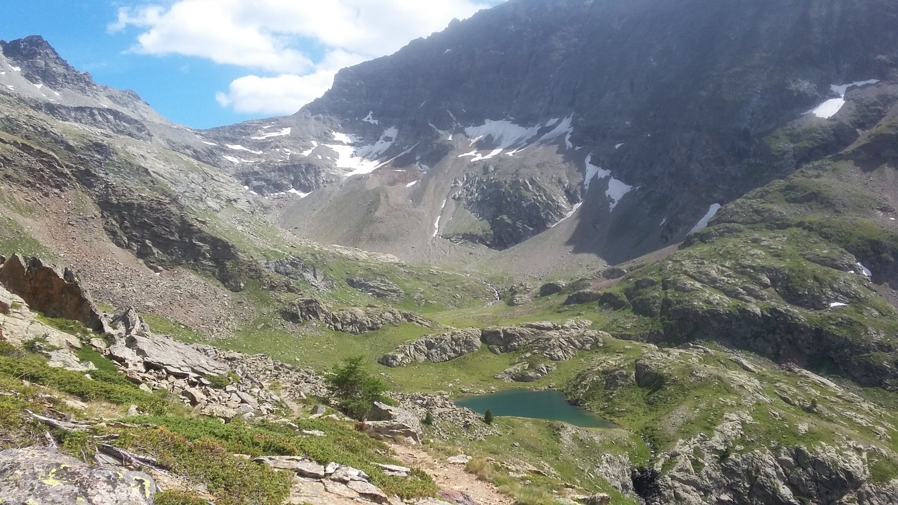
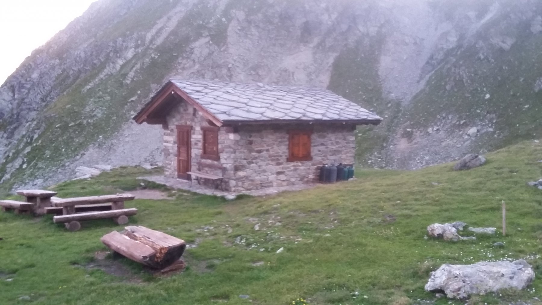
Si percorre il lungolago sino a Prarayer (rifugio) e dopo poco (segnavia 13) si imbocca in discesa il sentiero per il colle di Livournea ben segnato sino al colle 2858 m, con tracciato leggermente disagevole nell’ultima parte. Si scende sull’altro versante inizialmente su terreno sconnesso ma poi per bellissimo terreno erboso sino al bivacco Reboulaz. Da qui si segue il tracciato dall’Alta Via 1 in direzione col Vessonaz, attraversando in successione il colle Terray 2775 m, l’Oratorio-Rifugio Cuney, il col Chaleby 2683 m, il bivacco Clermont.
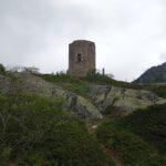
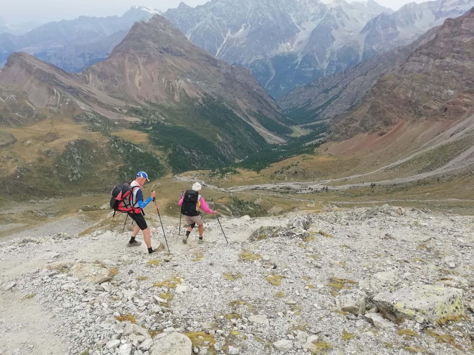
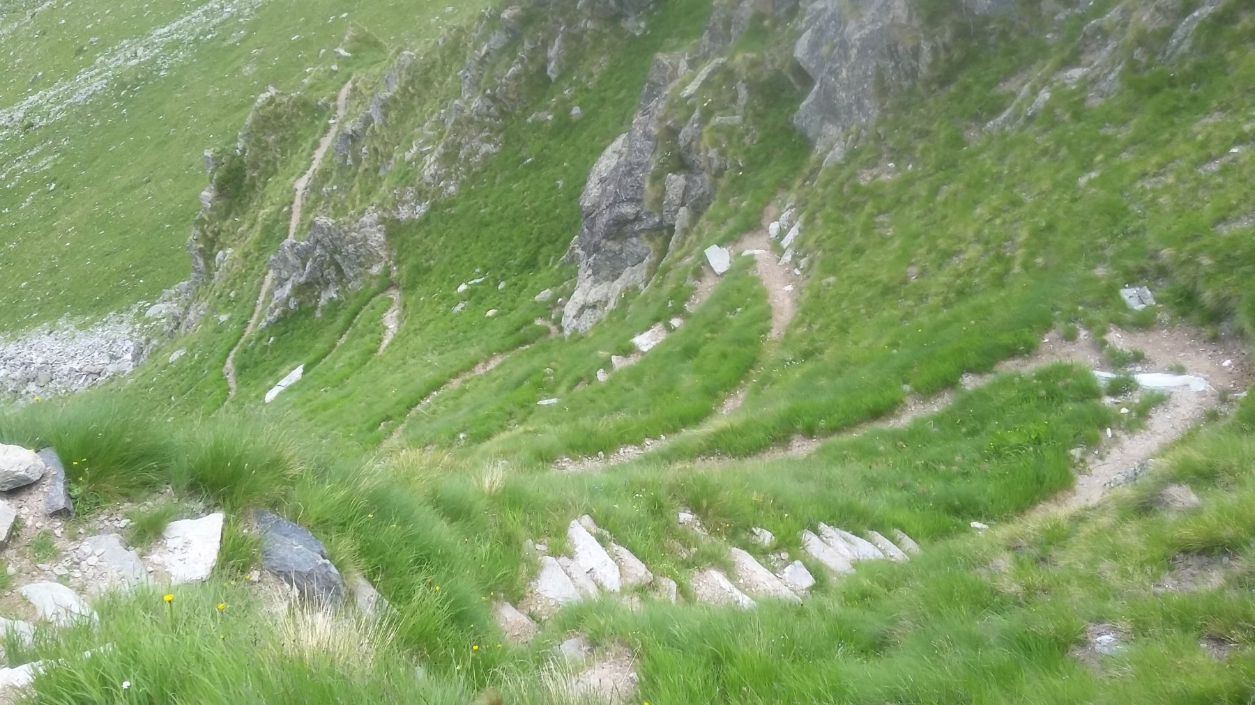
Dopo il Cuney si può utilizzare la breve ma simpatica variante del ‘Passet’ che, con l’ausilio di catene nei passaggi esposti, aggiunge panoramicità al percorso. Dopo il bivacco Clermont un’ultima salita di 15 minuti porta al colle Vessonaz 2794 m dal quale si scende tutto il vallone omonimo su buon tracciato sino al ponte di Betenda. Da qui occorre ancora sobbarcarsi un centinaio di metri di risalita scollinando nei pressi della Tour Tornalla che sovrasta Oyace. Da qui In pochi minuti con buon sentiero si ritorna al parcheggio nei pressi della chiesa di Oyace.