 450m
450m
Note
 50m
50m
50m
50m
50m
50m
50m
50m
50m
50m
50m
50m
50m
50m
50m
50m
50m
50m
50m
50m
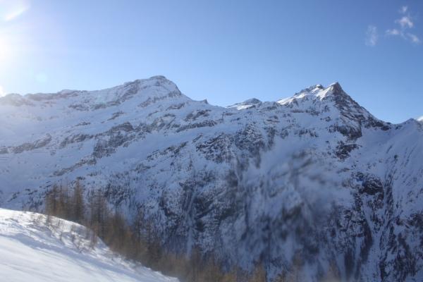
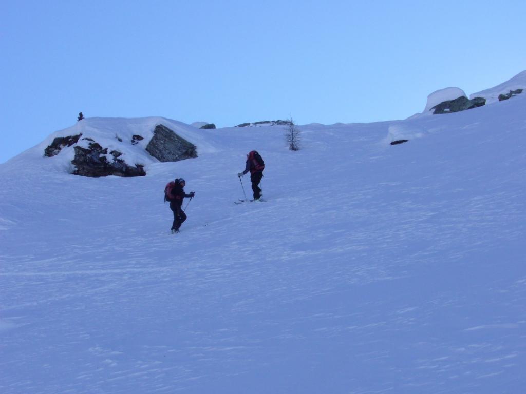
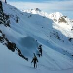
E' l'itinerario più "semplice" tra quelli che scendono dal colle Nord della Testa Grigia su Gressoney, l'unico di scialpinismo.
Comunque è un itinerario complesso, che passa tra balze rocciose pericolose, non difficile, se si imbrocca il percorso corretto. Itinerario molto estetico e di soddisfazione. Ovviamente da scegliere con cura quando andare per l'acuto pericolo di valanghe!
Avvicinamento
Comunque è un itinerario complesso, che passa tra balze rocciose pericolose, non difficile, se si imbrocca il percorso corretto. Itinerario molto estetico e di soddisfazione. Ovviamente da scegliere con cura quando andare per l'acuto pericolo di valanghe!
.
Descrizione
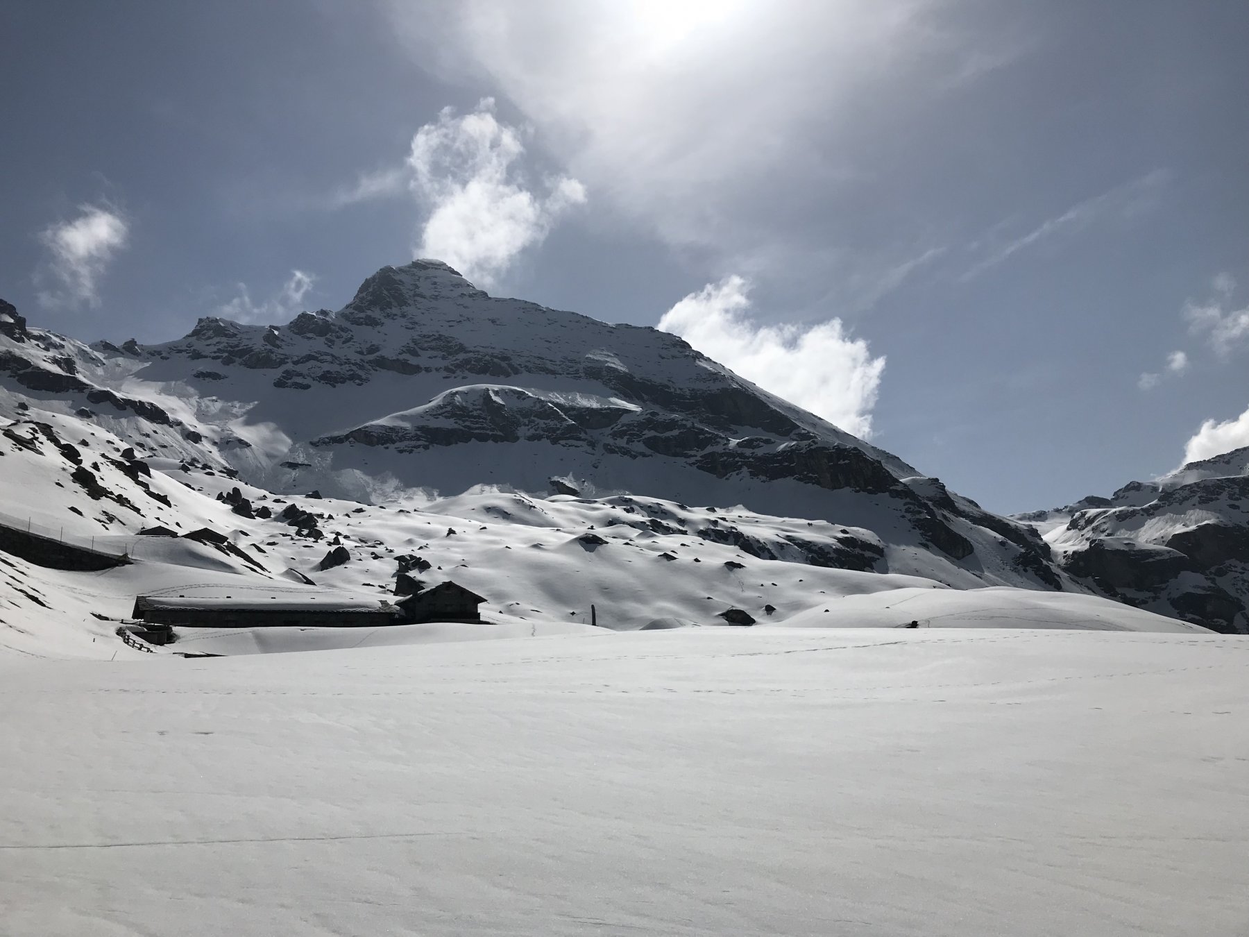
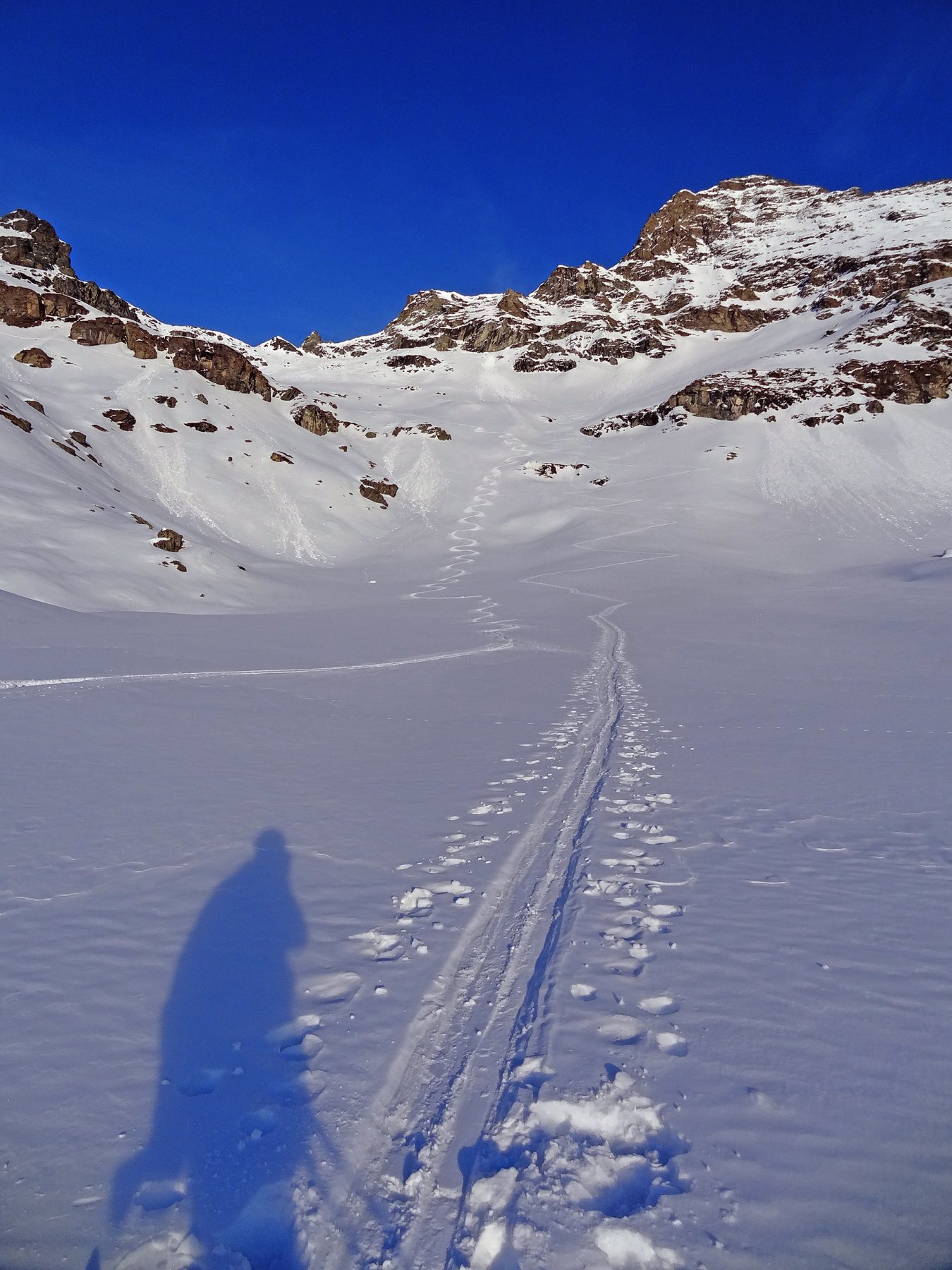
dall’arrivo della seggiovia di Sarezza (2703 m), scendere brevemente lungo la pista in direzione Ostafa per abbandonarla e sciare un pendio che costeggia un’alta falesia. Appena possibile, con una diagonale esposta, raggiungere il fondo del vallone alla base del Bec Forcu (2560 m). In alternativa si può salire da Ostafa tutto il vallone.
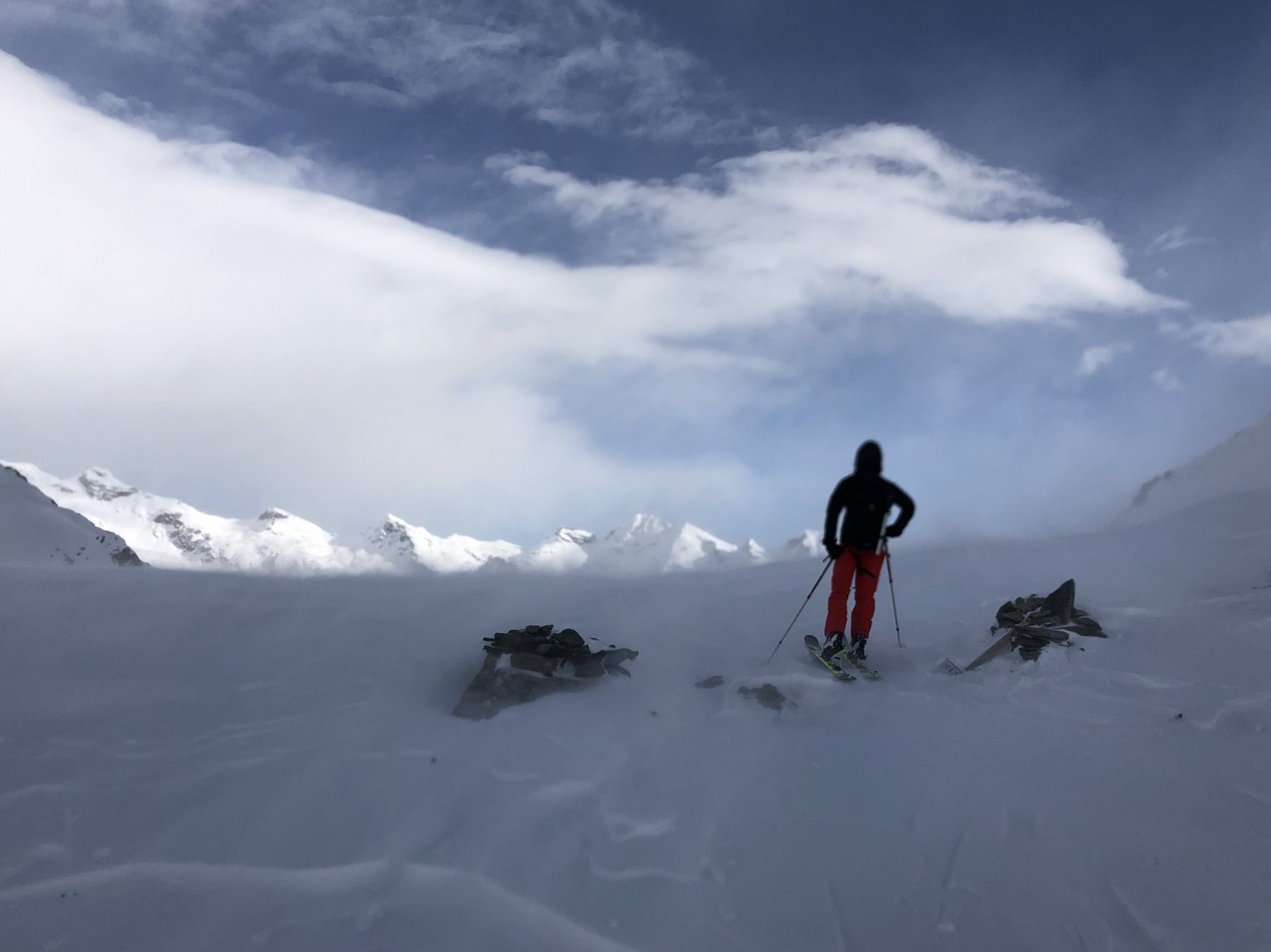
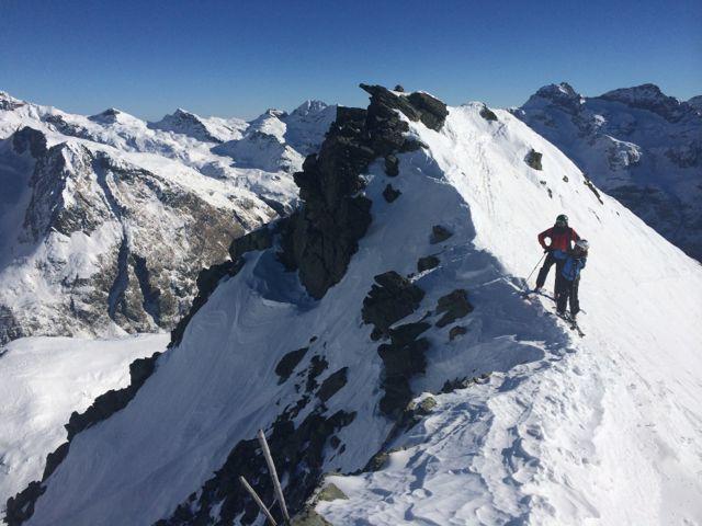
Salire ora su pendii sempre sostenuti, sotto la parete incombente della Testa Grigia, fino ad una conca. Girare a sinistra e raggiungere l’intaglio del colle (3007 m).
Dal colle sciare gli ampi dossi sottostante nel lato Gressoney. Tenersi a sinistra di una piccola paretina di roccia, affrontare un cambio di pendenza, e prendere il canale che taglia un’alta parete di roccia. Questo canale, detto della mezzaluna, stretto e ripido, porta a pendii sostenuti che si affrontano.
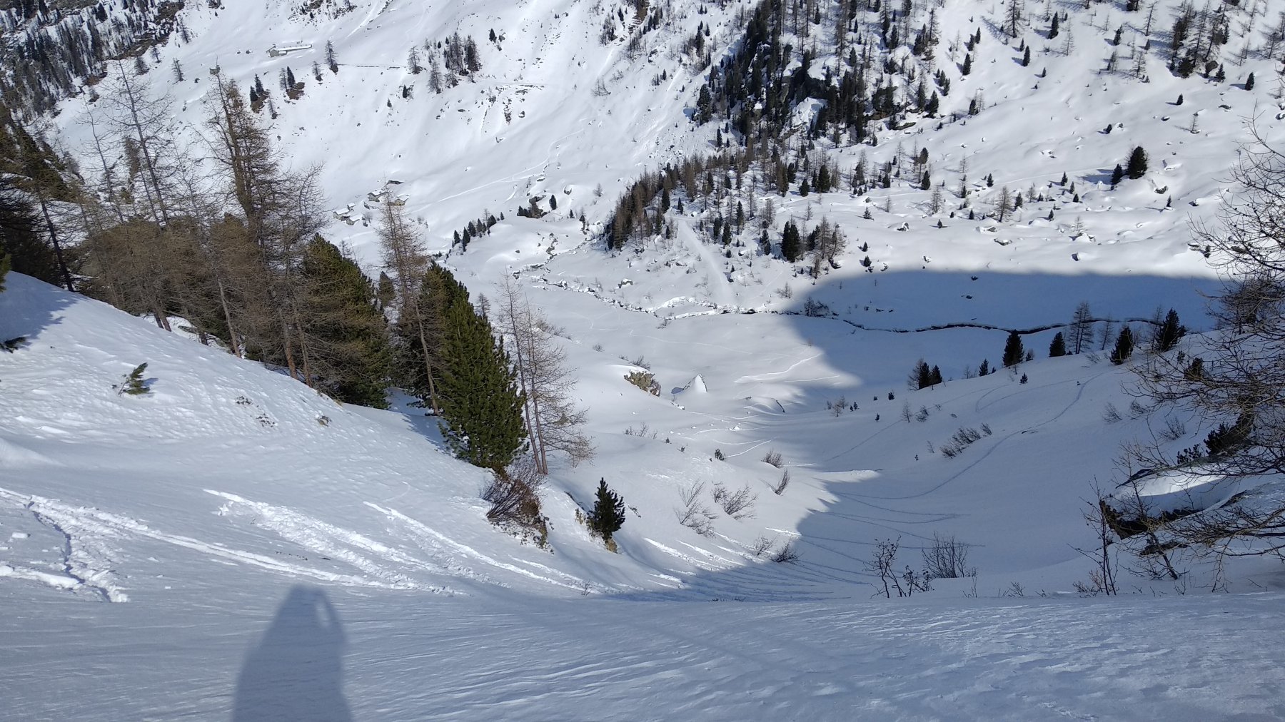
Ad un piano (2600 m circa) andare verso destra e traversare in diagonale verso le visibilissime case di Hockene Stei ( 2322 m) che si raggiungono. Continuare in diagonale fino ai paravalanghe più in basso (senza farsi tentare dai golosi canali sulla sinistra) fino a raggiungere Schalbete (2098m). Sempre tenendo la stessa direzione, si scendono dei pendii aperti fino ad incontrare una gola con cascata che si attraversa e si prende il sentiero 10B che permette di superare con una breve steccionata in legno un punto esposto. Superato questo punto, si raggiungono in breve, sulla sinistra,le visibili case di Bodma (1941m). Da qui, si scende sulla mulattiera numero 11 nel bosco sottostante, si incontra il sentiero numero 10, si tiene la sinistra fino ad un bosco abbastanza rado e si esce a Gressoney La Trinitè in corrispondenza del ponte di fronte la seggiovia di punta jolanda (1648 m). Lungo le piste da sci si torna a Champoluc.
- Cartografia:
- escursionista editore carta 8 monte rosa
- Bibliografia:
- G. Merlo - scialpinismo in valle d'ayas
Nelle vicinanze Mappa
Itinerari
18/04/2026 AO, Ayas D+ 1100 m MS Ovest
Rothorn (Passo del) da Champoluc
 50m
50m
29/02/2020 AO, Ayas D+ 1280 m BS Varie
Ruines (Punta) da Champoluc
 50m
50m
03/12/2019 AO, Ayas D+ 1140 m MS Varie
Sarezza (Colle) da Champoluc
 50m
50m
11/05/2025 AO, Ayas D+ 1466 m BSA, F Nord-Ovest
Vitello (Corno) da Champoluc
 50m
50m
07/02/2026 AO, Ayas D+ 1100 m BS Nord
Perrin (Col) e quota 2771 m da Champoluc
 50m
50m
27/12/2018 AO, Ayas D+ 700 m BS Sud-Ovest
Bettaforca (Monte) da Contenery
 50m
50m
13/03/2021 AO, Ayas D+ 1400 m BSA, F+ Varie
Rothorn e Piccolo Rothorn da Champoluc per il Colle Nord di Testa Grigia
 50m
50m
06/02/2026 AO, Ayas D+ 1444 m BS Nord
Gran Cima da Champoluc per Crest
 50m
50m
25/04/2025 AO, Ayas D+ 1550 m BS Sud-Ovest
Forcú (Bec) da Champoluc
 50m
50m
06/04/2024 AO, Ayas D+ 1733 m OSA Ovest
Grigia (Testa) da Champoluc
 50m
50m