400m
400m

Note
 50m
50m
1.8Km
2.2Km
2.2Km
2.2Km
2.2Km
2.2Km
2.2Km
50m
50m
1.8Km
2.2Km
2.2Km
2.2Km
2.2Km
2.2Km
2.2Km
400m
1.3Km
1.3Km
2.2Km
3.1Km
5.1Km
8.3Km
9.6Km
9.8Km
10Km
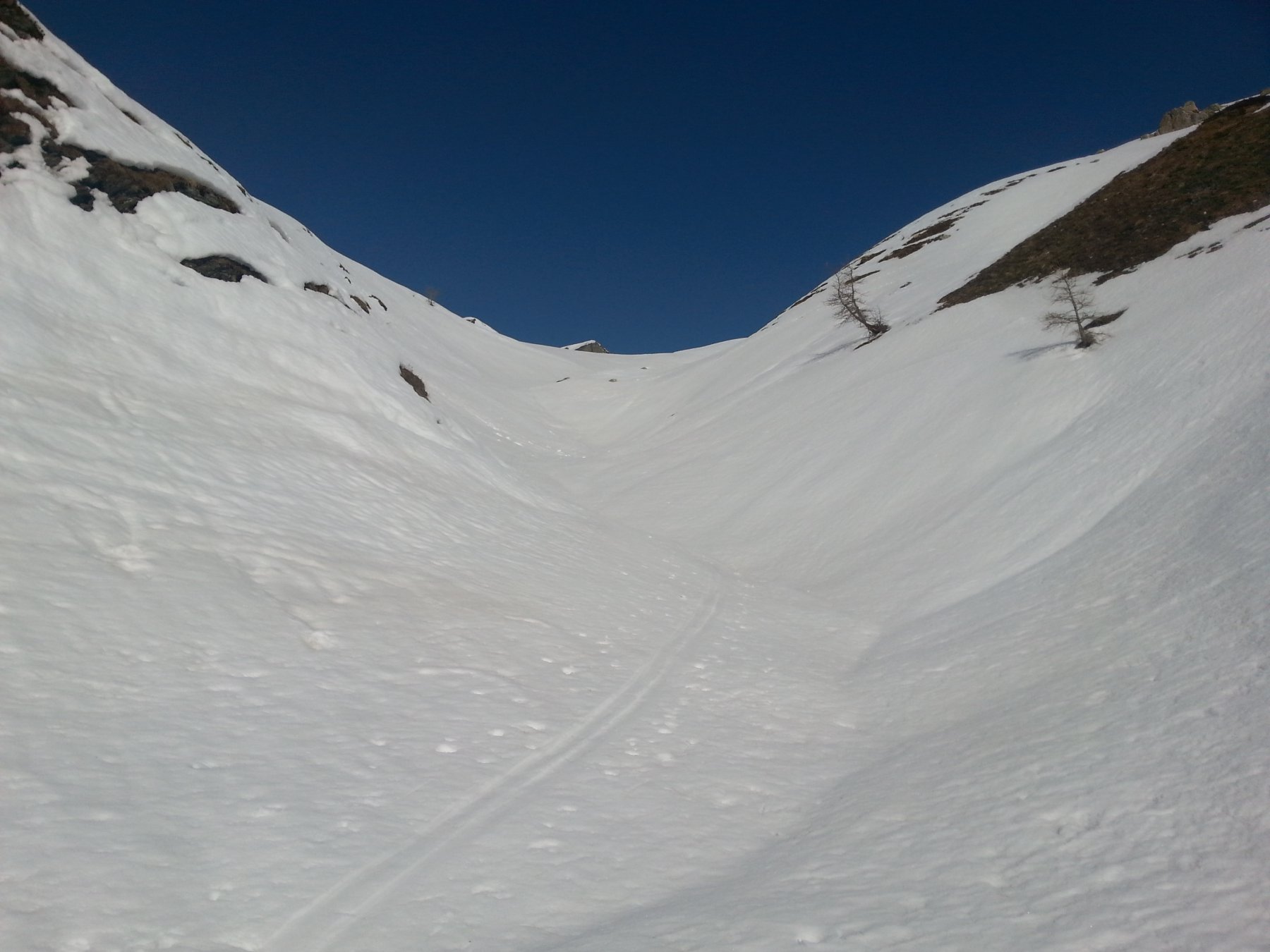
Richiede neve assestata e non troppo abbondante.
Avvicinamento
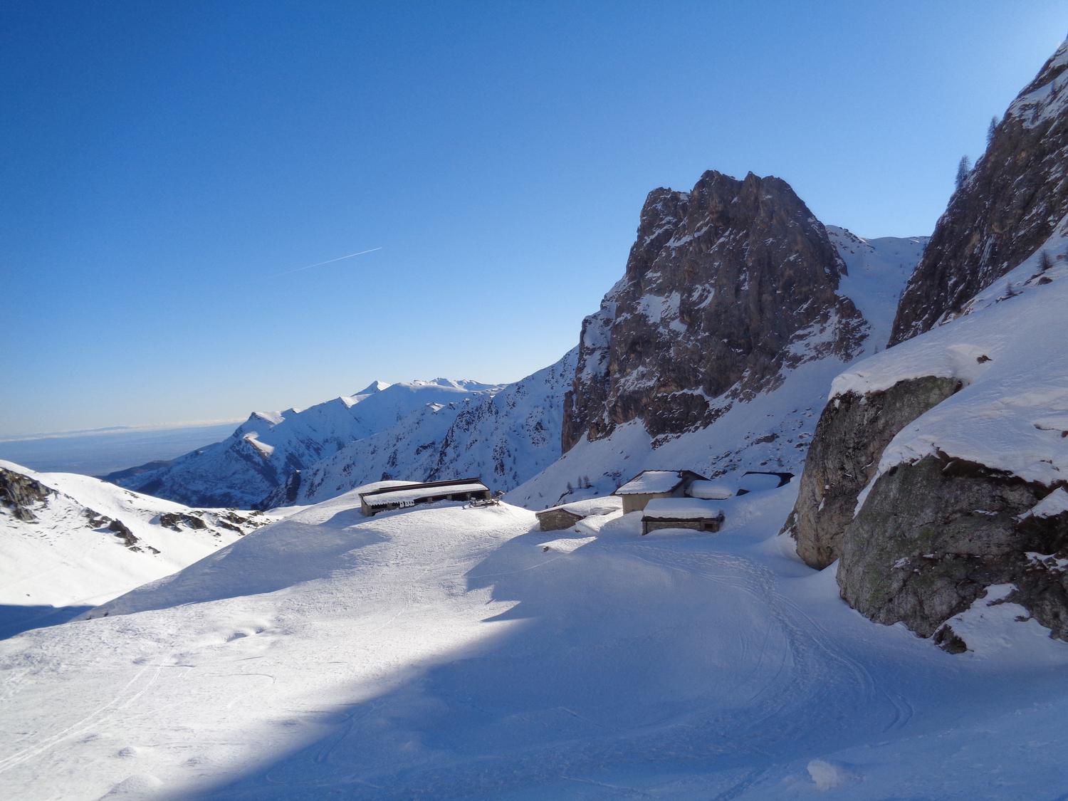
Da Caraglio si sale la strada della Valle Grana in direzione Castelmagno. Superato Campomolino si prosegue ancora per alcuni km fino alla frazione Chiotti. Qui si può lasciare l'auto nella strada principale del paesino, oppure poco prima di esso nei pressi della Cappella di San Bernardo da Mentone. O ancora poco prima del paese si segue una stretta stradina asfaltata sulla sinistra, in discesa che diventa sterrata nei pressi del ponte sul Grana, qui si può lasciare l'auto.
Descrizione
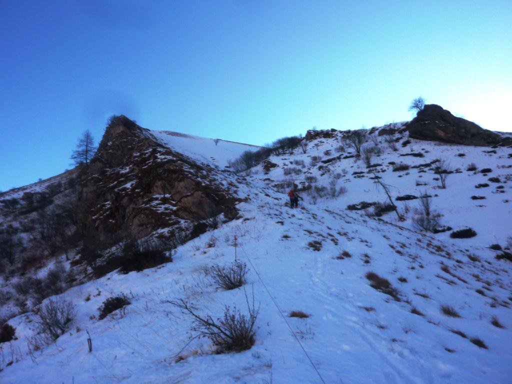
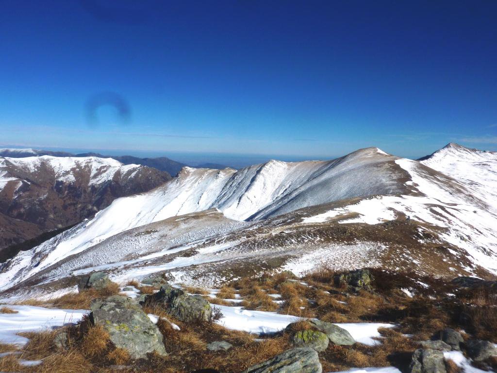
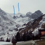
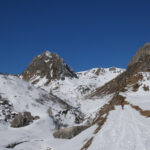
Dall’abitato di Chiotti percorrere il fondo innevato della sterrata che conduce a Grange Pinets (scorciatoia sul bordo del torrente poco dopo il ponte) fino all’evidente inizio del pendio ovest che scende dalla Rocca Cucuja.
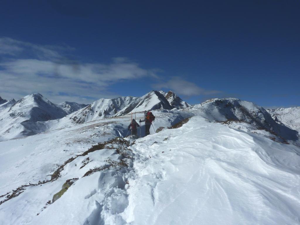
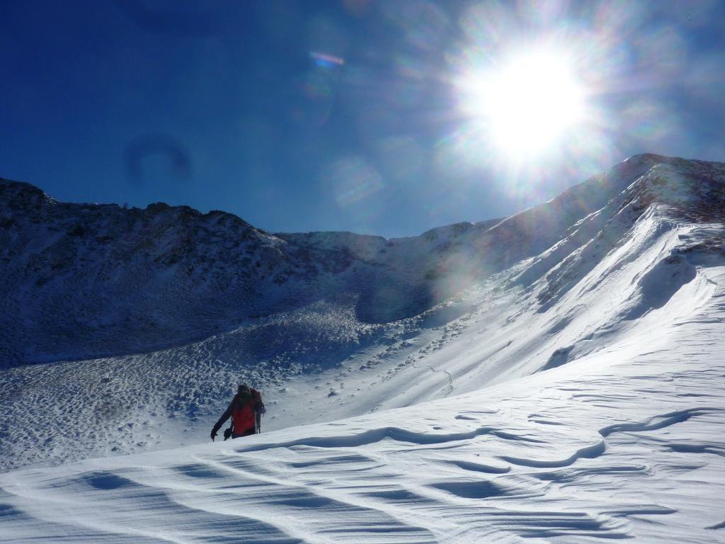
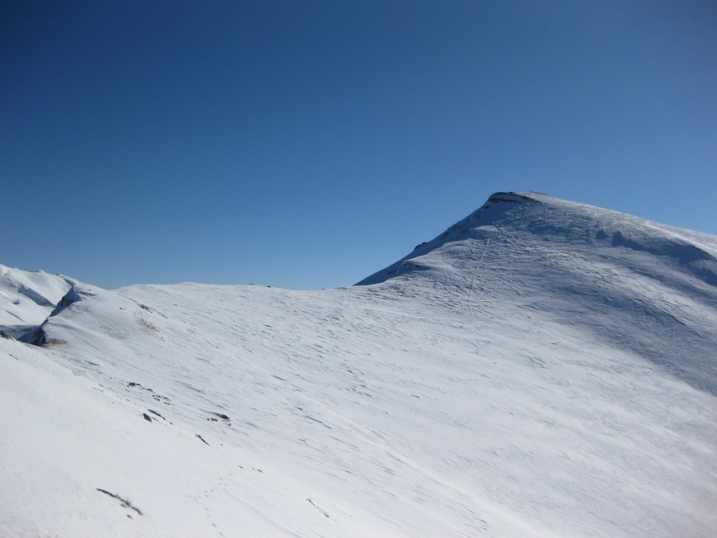
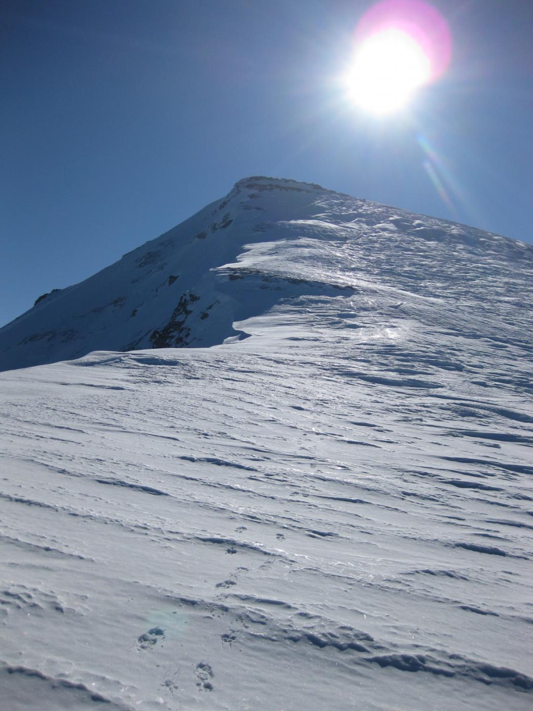
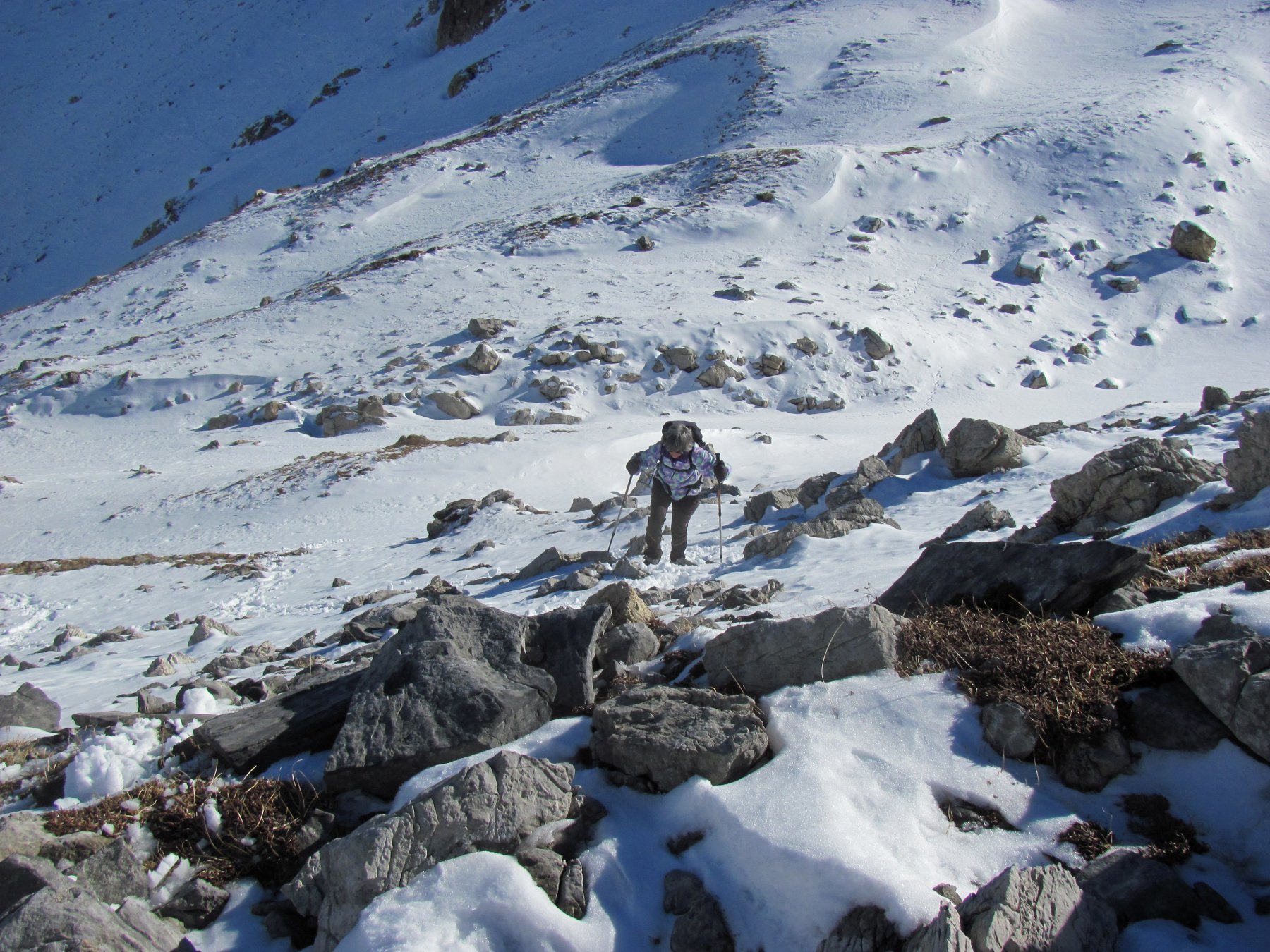
Lo si risale al bordo o più al centro fino alla piccola vetta rocciosa della Rocca Cucuja 2144 m, da cui si prosegue per la cresta nord passando sulle successive elevazioni, fino a raggiungere la Punta dell’Omo 2299 m. In base alle condizioni di innevamento la dorsale per arrivare alla Punta dell’Omo può richiedere l’utilizzo di ramponi e piccozza, per affrontare alcuni passaggi con affioramenti rocciosi.
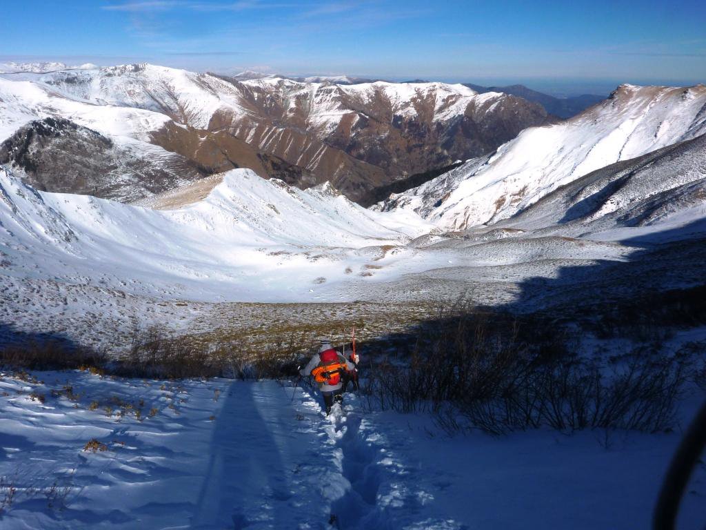
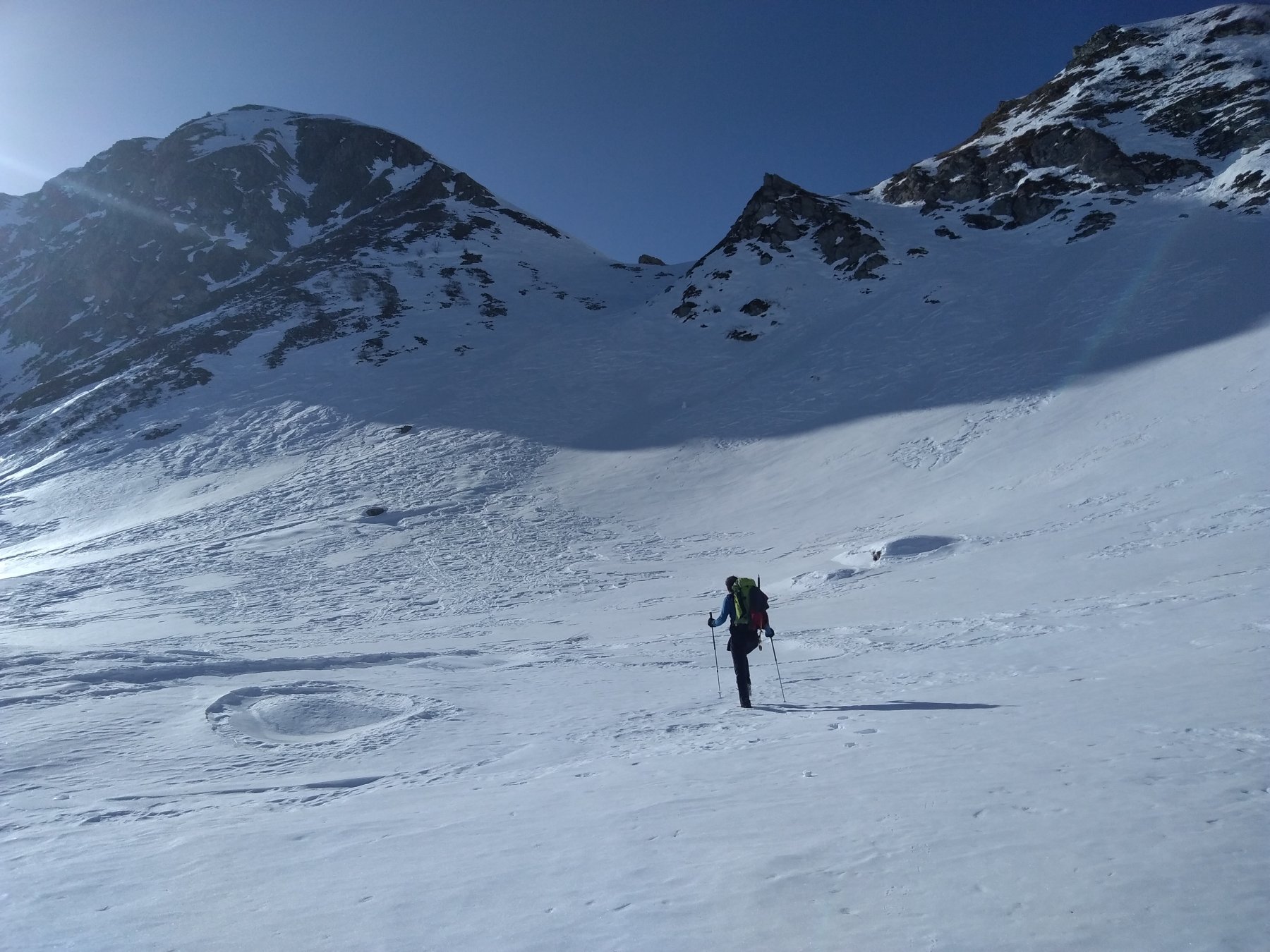
Discesa per la via di salita, oppure da uno dei pendii a scelta che scendono dalla cresta, tenendo conto di fare poi qualche traverso in direzione nord per riportarsi sulla strada.
- Cartografia:
- IGC Valli Maira,Grana,Stura
Nelle vicinanze Mappa
Itinerari
24/03/2012 CN, Castelmagno D+ 620 m MR Nord-Ovest
Cucuja o Cucuia (Rocca) da Chiotti
 50m
50m
21/02/2016 CN, Castelmagno D+ 1100 m BR Nord
Bram (Monte), Punta dell’Omo o le Crest de Gibert, Monte Borel da Chiotti, anello per Rocca Cucuja e Colle Viribianc
50m
11/02/2023 CN, Castelmagno D+ 950 m BR Nord-Est
Mulets (Crest di) o quota 2411 m da Chiotti per il Col di Mulets
 50m
50m
19/11/2017 CN, Castelmagno D+ 1013 m BR Nord
Viridio (Monte) e Cima Viribianc da Chiappi per il Vallone Inciastar
 1.8Km
1.8Km
24/02/2025 CN, Castelmagno D+ 723 m OR Nord
Parvo (Punta) dal Santuario di San Magno per il Col di Cussiers e il versante E/SE
 2.2Km
2.2Km
16/02/2019 CN, Castelmagno D+ 850 m MR Varie
Pelvo (Monte) e Punta Sibolet dal Santuario San Magno per il Colle Esischie, discesa Vallone della Miniera
 2.2Km
2.2Km
16/03/2025 CN, Castelmagno D+ 750 m MR Est
Esischie (Colle d’) dal Santuario di San Magno
 2.2Km
2.2Km
19/12/2021 CN, Castelmagno D+ 900 m MR Varie
Sibolet (Punta) dal Santuario di San Magno, anello valloni della Miniera e Sibolet
 2.2Km
2.2Km
19/12/2021 CN, Castelmagno D+ 1261 m BR Sud-Ovest
Tibert (Monte), Punta Sibolet, Punta Tempesta dal Santuario di San Magno, anello
 2.2Km
2.2Km
27/02/2025 CN, Castelmagno D+ 785 m BR Est
Fauniera (Cima e Colle) dal Santuario di San Magno
 2.2Km
2.2Km
Servizi
400m
1.3Km
Des Martin B&B
Castelmagno
1.3Km
La Valliera Rifugio
Castelmagno
2.2Km
La Font Albergo
Castelmagno
3.1Km
La Susta Ristorante
Castelmagno
5.1Km
Carbonetto Rifugio
Demonte
8.3Km
Lo stau Ristorante
Demonte
9.6Km
Centro fondo Ristorante
Aisone
9.8Km
Locanda Rifugio
Celle di Macra
10Km