2.2Km
2.2Km

Note
 1.9Km
2.4Km
2.4Km
5.6Km
6.2Km
6.9Km
6.9Km
1.9Km
2.4Km
2.4Km
5.6Km
6.2Km
6.9Km
6.9Km
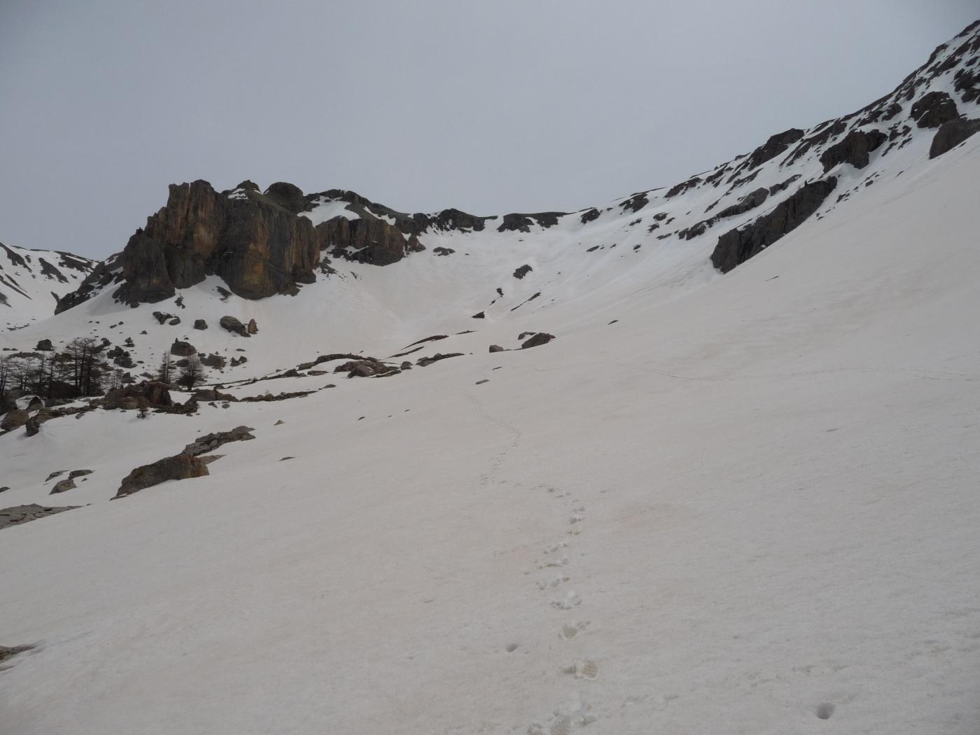
Evitare la gita dopo una abbondante nevicata per la presenza, a circa metà percorso, di rocce montonate incombenti molto cariche di neve.
Avvicinamento
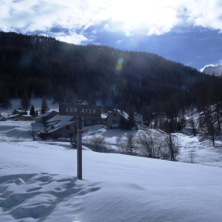
da Briancon seguire la RN94 in direzione Gap per 1,5 Km ; alla rotonda prendere a sinistra per Villar St.Pancrace ; dal centro paese individuare e seguire la via Chemin de la Croix de Bretagne che uscendo dal paese passa nei pressi della chiesina di St. Pancrace e termina in un ampio parcheggio dove si lascia la vettura
Descrizione
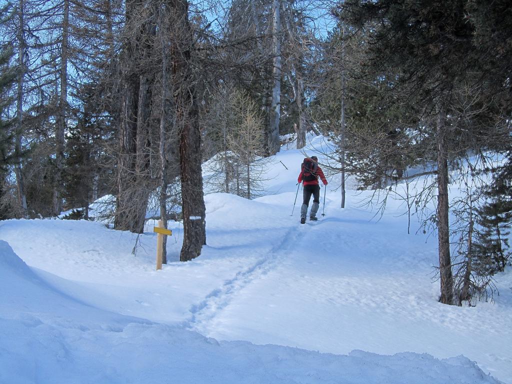
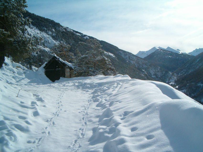
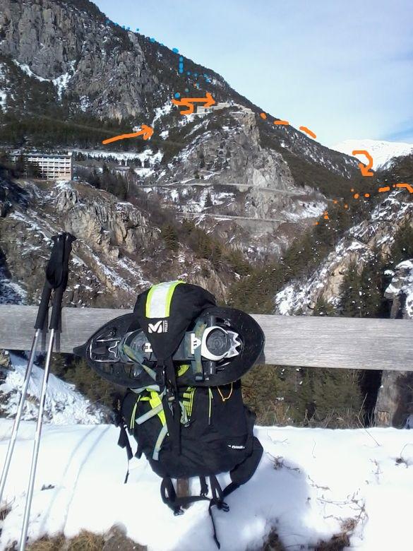
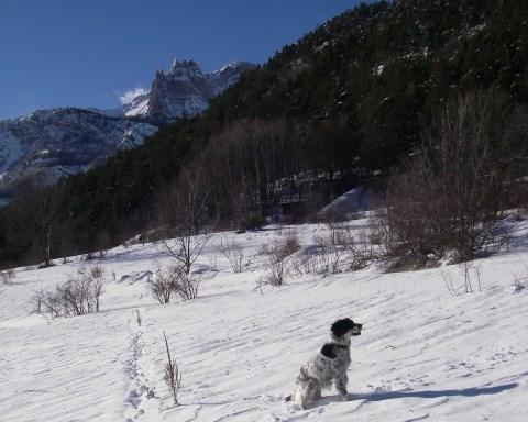
Dal parcheggio seguire la strada militare che prosegue innevata e che ben presto si inoltra nella fitta pineta; giunti al bivio si prende a destra lasciando a sinistra la stradina che prosegue per Pont de Cervieres ( indicazioni); la strada continua a proseguire con rapide svolte nella fitta pineta in ombra sul versante Briancon, sino a sbucare oltre una spalla in pieno sole sul vallone des Ayes.
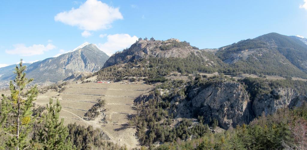
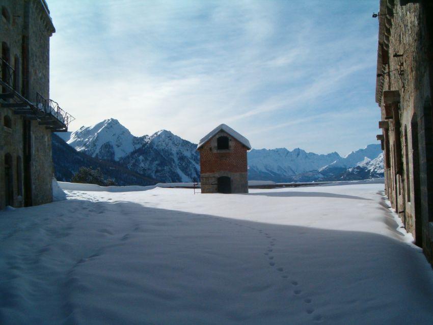
Si passa in una zona sotto rocce montonate incombenti (evitare dopo una abbondante nevicata) e con un’altra serie di tornanti si giunge al Fort De la Croix de Bretagne; panorama stupendo in ogni direzione e vista su Briancon e molte sue fortificazioni; attenzione nel cortile del forte ci sono alcuni buchi profondi ( sotterranei?) coperti dalla neve e molto pericolosi!!!
Da questo forte è possibile proseguire sempre per strada militare (altri 400m di dislivello) per il Fort de la Gran Maye
- Cartografia:
- IGC 1 - Valli di Susa Chisone e Germanasca
Nelle vicinanze Mappa
Itinerari
28/12/2012 Hautes-Alpes, Villar-Saint-Pancrace D+ 450 m MR Nord
Ayes (Chalets des) da Villar-Saint-Pancrace
 1.9Km
1.9Km
08/02/2015 Hautes-Alpes, Briançon D+ 450 m MR Sud
Coins (les) da Briançon, anello Fort de Salettes – Fontenil
 2.4Km
2.4Km
25/04/2014 Hautes-Alpes, Briançon D+ 550 m MR Ovest
Toulouse (Croix de) da Briançon per Serre Lan
 2.4Km
2.4Km
27/03/2016 Hautes-Alpes, Cervières D+ 850 m BR Nord
Lause (Combe) e Fort de la Lausette da Terre Rouge
5.2Km
21/01/2024 Hautes-Alpes, Val-des-Prés D+ 1150 m BR Nord
Cochette (Sommet de la) e l’Ombilic da la Vachette
 5.6Km
5.6Km
11/12/2025 Hautes-Alpes, Puy-Saint-André D+ 836 m MR Nord
Aquila (la Croix d’) da Puy Chalvin
5.8Km
26/04/2014 Hautes-Alpes, Puy-Saint-André D+ 1069 m BR Sud-Est
Eychauda (Sommet de l’) da Puy Chalvin
5.9Km
05/01/2014 Hautes-Alpes, Saint-Martin-de-Queyrières D+ 650 m MR Sud
Ratiere (Chalets de) da Sachas
 6.2Km
6.2Km
01/02/2015 Hautes-Alpes, Saint-Martin-de-Queyrières D+ 1110 m BR Nord
Alpavin (Crete de l’) Versante N
 6.9Km
6.9Km
29/12/2022 Hautes-Alpes, Saint-Martin-de-Queyrières D+ 1293 m ORA, F Sud-Ovest
Peyre Eyraute (Pic de) versante Sud Ovest e cresta S
 6.9Km
6.9Km