8.4Km
8.4Km
Note
 0m
50m
50m
50m
2.4Km
2.7Km
2.7Km
2.7Km
0m
50m
50m
50m
2.4Km
2.7Km
2.7Km
2.7Km
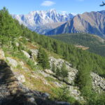
Brevissima passeggiata per ammirare il Monte Bianco.
Avvicinamento
Autostrada A5 Torino-Aosta uscita Morgex. Da qui si prosegue per Courmayeur fino a incontrare la deviazione a sinistra per il Colle San Carlo. Dopo 10 km di bella strada in salita si giunge al piazzale del colle, ampio parcheggio.
Descrizione
Da La Thuile o da Morgex si raggiunge il Colle S. Carlo dove si posteggia.
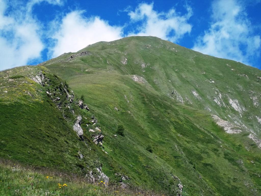
Si segue la sterrata che inizia nei pressi di una caserma in rovina (indicazioni) e si prosegue nel bosco fino a raggiungere la sommità della Tete d’Arpy da cui si gode un panorama veramente stupendo sul Bianco e sulla Valle d’Aosta. Ritorno per l’itinerario di salita.
- Cartografia:
- IGC n° 4 - Massiccio del Monte Bianco
Nelle vicinanze Mappa
Itinerari
17/10/2025 AO, Morgex D+ 410 m E Est
Croce (Punta e Colle della) dal Colle San Carlo per il Lago d’Arpy
 0m
0m
01/11/2024 AO, Morgex D+ 1100 m EE/F Nord-Est
Colmet (Mont) dal Colle San Carlo
 50m
50m
28/06/2026 AO, Morgex D+ 190 m T Nord
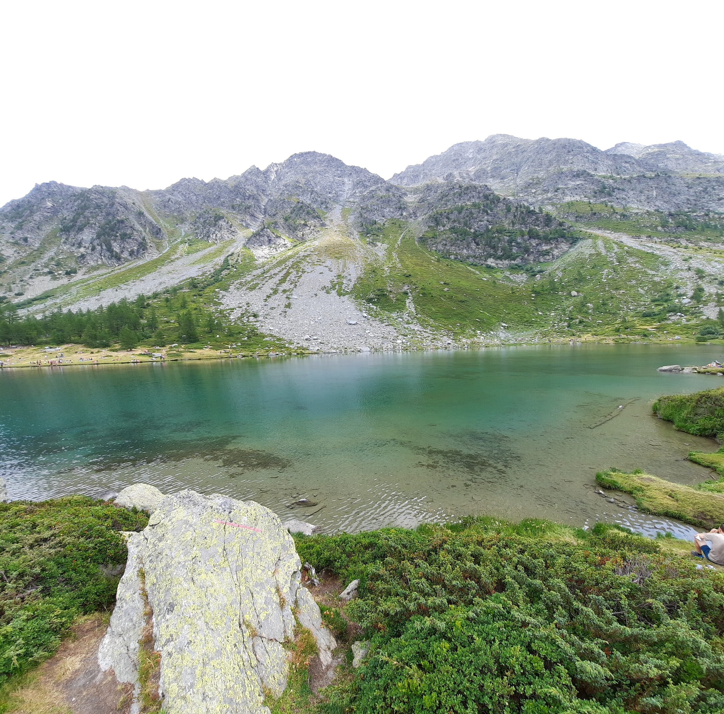
Arpy (Lago d’) dal Colle San Carlo
 50m
50m
06/09/2015 AO, Morgex D+ 900 m EE Nord-Ovest
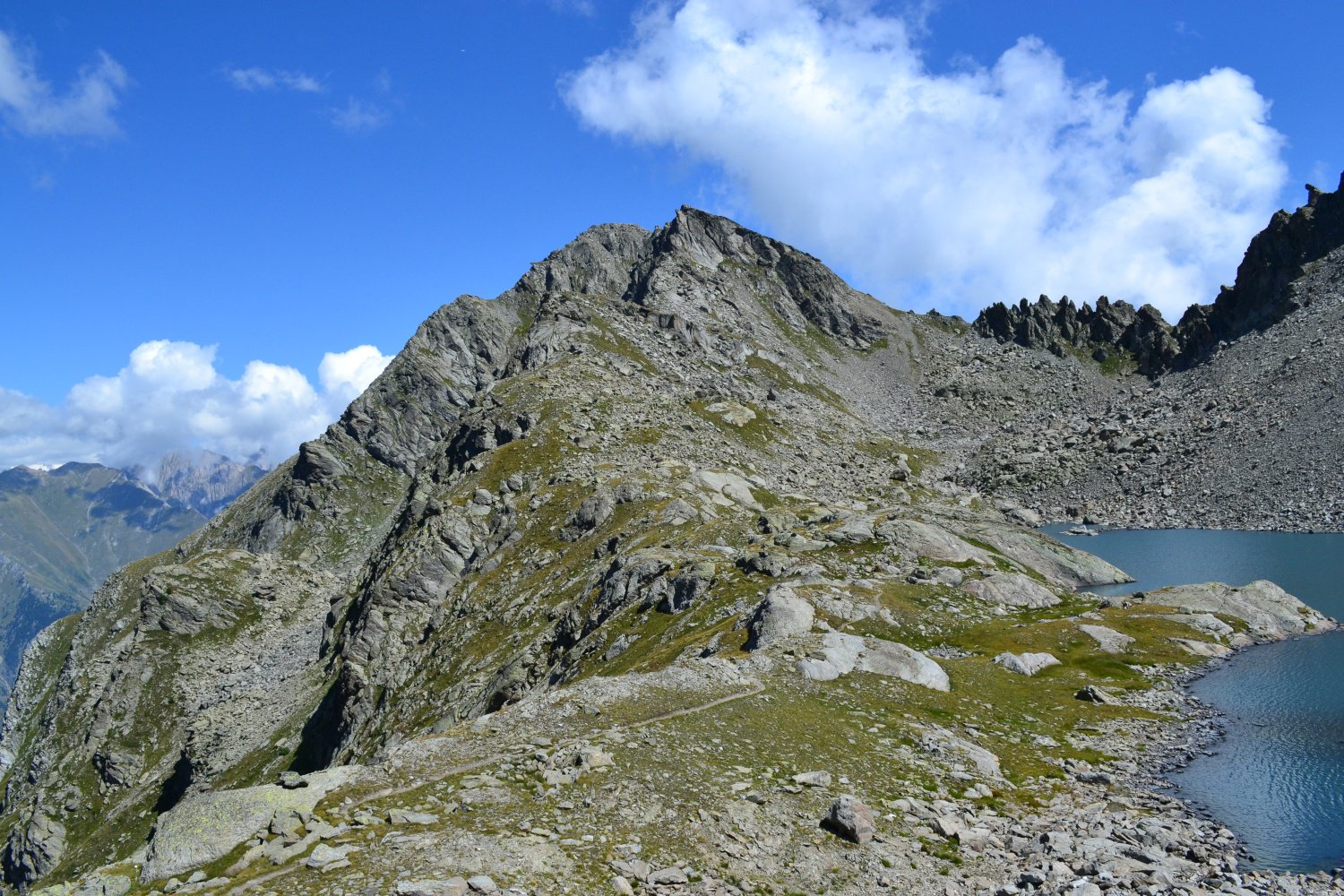
Colmet (Col) dal Colle San Carlo
50m
16/08/2021 AO, Morgex D+ 1200 m EE/F Nord
Colmet (Col) dal Colle San Carlo
50m
20/09/2025 AO, Morgex D+ 856 m E Varie
Pouegnenta o Pougnenta (Becca) dal Colle San Carlo per il Lago d’Arpy e Lago di Pietra Rossa
 50m
50m
26/05/2018 AO, Pré-Saint-Didier D+ 664 m E Nord
Arpy (Villaggio) da Pré-Saint-Didier
 2.4Km
2.4Km
22/07/2017 AO, Pré-Saint-Didier D+ 1483 m EE Varie
Jeunes (Tete des), anticima 2706 m da Elevaz per Plan Praz
 2.7Km
2.7Km
19/10/2025 AO, Pré-Saint-Didier D+ 1392 m E Sud-Est
Crammont (Mont) da Elevaz, anello per Plan Praz
 2.7Km
2.7Km
17/05/2014 AO, La Thuile D+ 1355 m EE Sud
Torrent (Vallone) colle 2657 m da Elevaz, anello nel Vallone di Youlaz
 2.7Km
2.7Km