1.6Km
1.6Km
Descrizione
 1.5Km
2.1Km
2.5Km
3Km
3.1Km
1.5Km
2.1Km
2.5Km
3Km
3.1Km
1.6Km
2.1Km
2.1Km
5.4Km
6.5Km
6.6Km
7.3Km
7.8Km
8.3Km
8.3Km
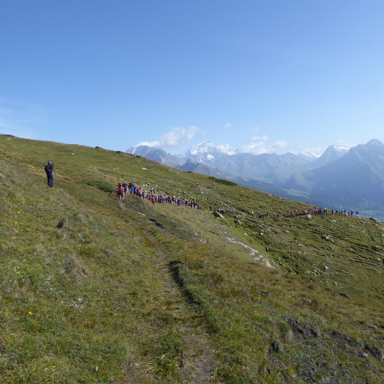
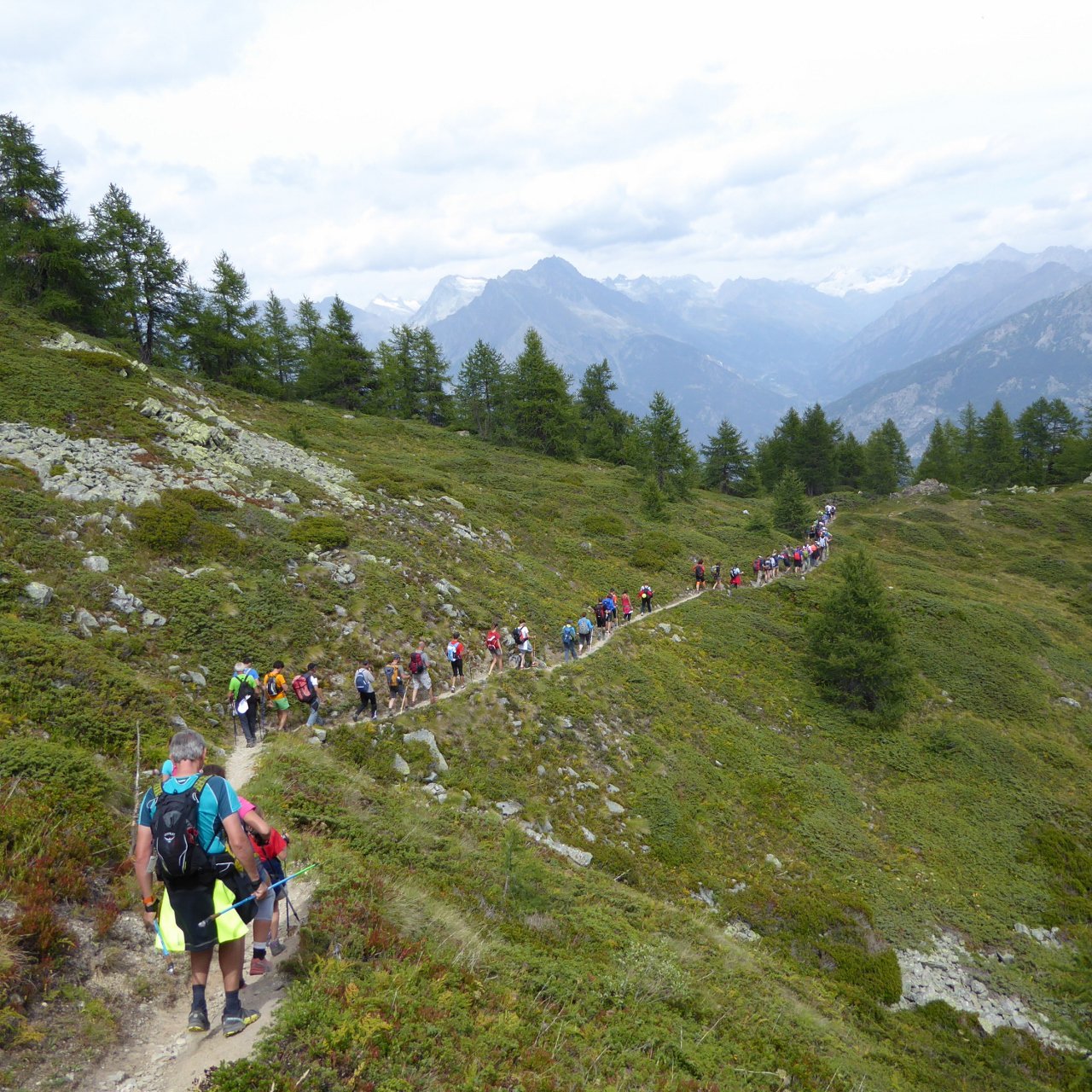
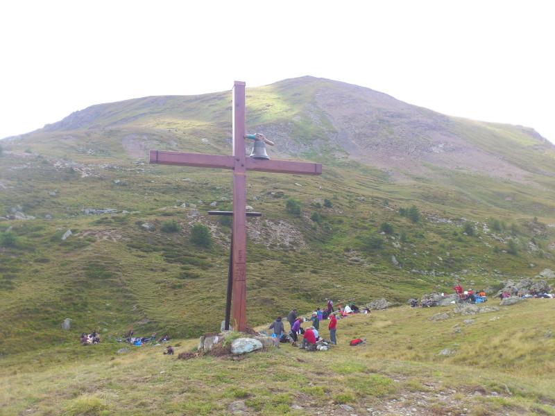
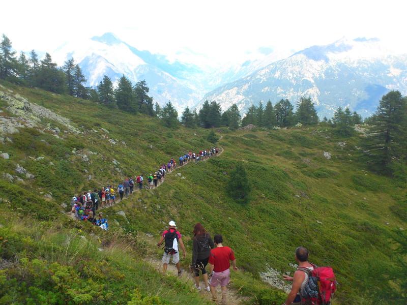
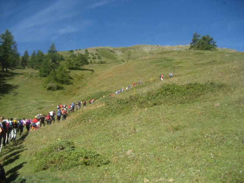
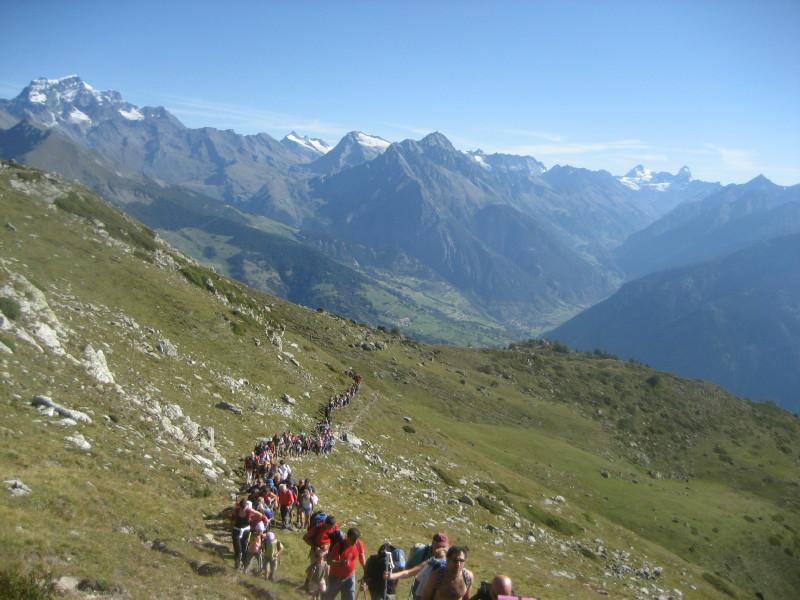
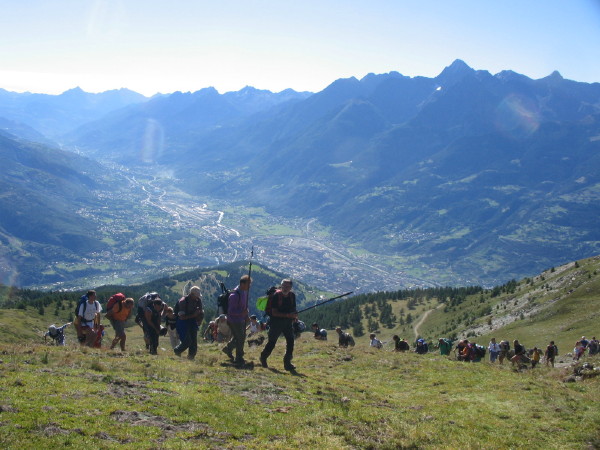
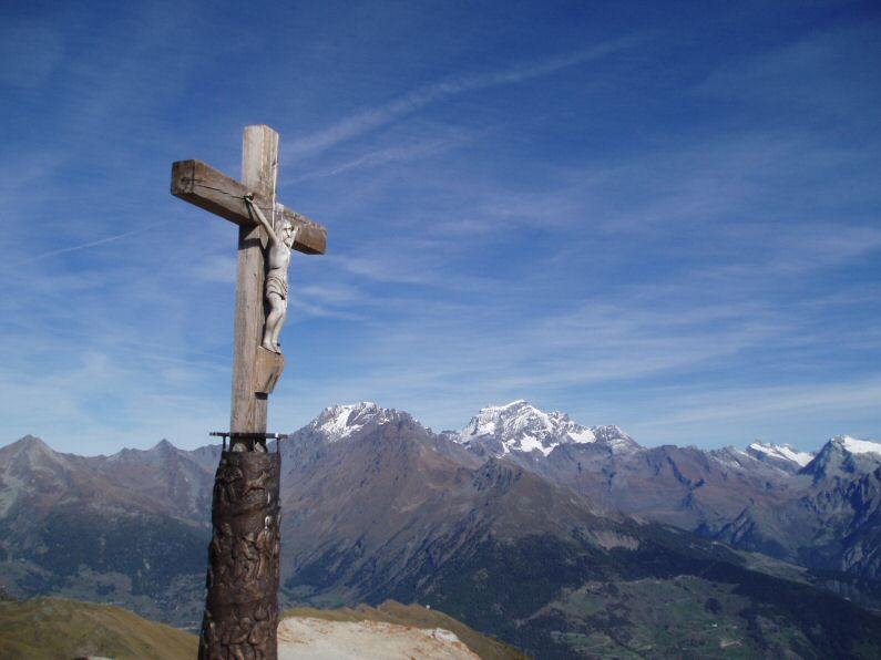
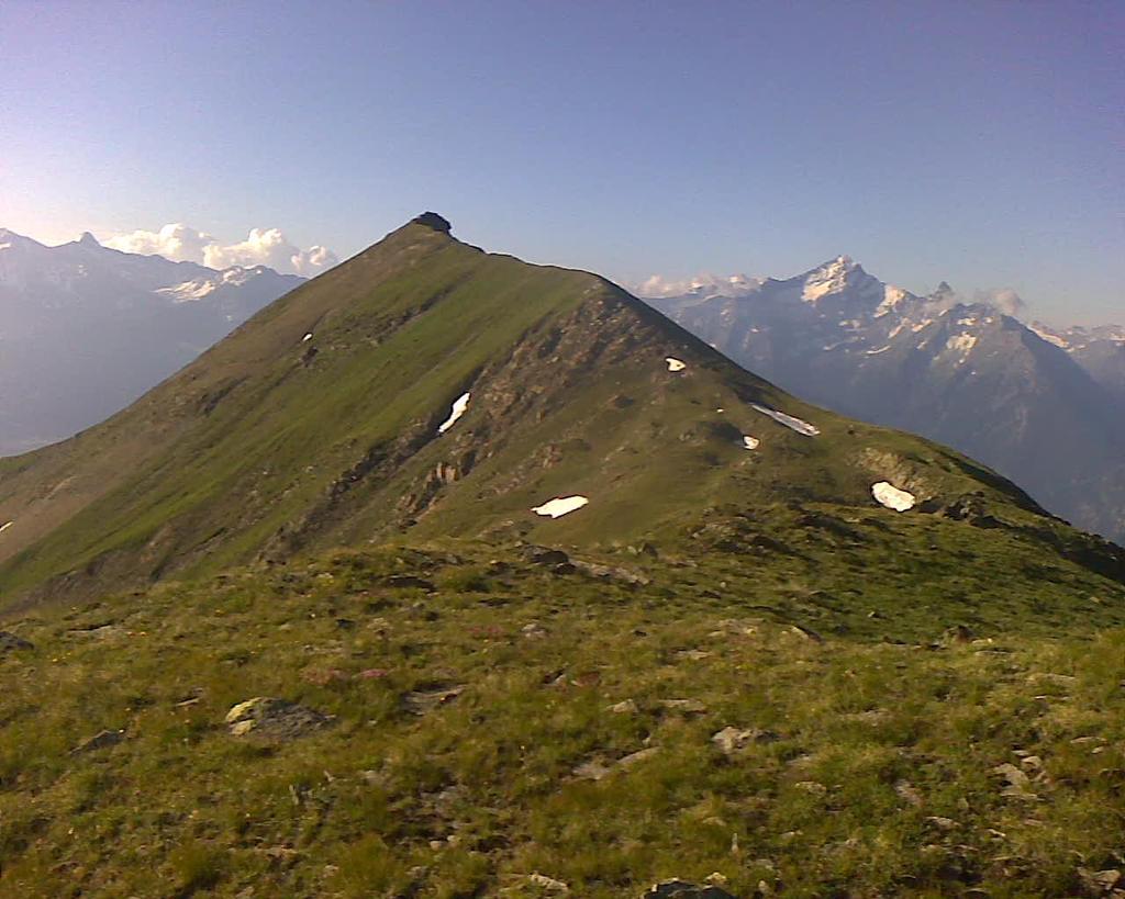
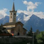
Dalla località Excenex di Aosta si raggiunge -lungo la strada- l’abitato di Arpuilles, quindi su sentieri che di frequente incrociano la pista carraia che conduce agli alpeggi, si raggiunge il fianco superiore della montagna, e poi sempre su sentiero e/o traccia ben evidente si arriva sulla vetta.
Itinerario facile, ma di una certa lunghezza, se si effettua con il sugestivo pellegrinaggio annuale, ovviamente non ci sono problemi di ricerca del percorso.
- Cartografia:
- Kompass foglio 85
Nelle vicinanze Mappa
Itinerari
01/06/2022 AO, Aosta D+ 1081 m E Varie
Cammino Balteo tappa n.12 da Arpuilles a Vetan
 1.5Km
1.5Km
21/02/2025 AO, Gignod D+ 1701 m E Est
Chaligne (Pointe de) da Cré
1.6Km
21/12/2025 AO, Gignod D+ 1064 m E Est
Chaligne (Rifugio) da Gignod
1.9Km
11/01/2024 AO, Aosta D+ 450 m E Sud
Chacotteyes (Alpe) da Lin Blanc
 2.1Km
2.1Km
05/04/2026 AO, Roisan D+ 700 m T Sud-Ovest
Blavy (Frazione) da Closellinaz
 2.5Km
2.5Km
16/06/2024 AO, Roisan D+ 1680 m EE Ovest
Roisan (Becca di) da Roisan per Praperiaz
3Km
02/10/2021 AO, Roisan D+ 550 m E Sud
Cammino Balteo tappa n.11 da Roisan a Arpuilles
 3Km
3Km
10/12/2025 AO, Roisan D+ 387 m T Ovest
Ru Pompillard da Roisan a Valpelline
 3.1Km
3.1Km
01/05/2025 AO, Roisan D+ 937 m E Ovest
Praperiaz da Roisan, anello
3.1Km
14/10/2025 AO, Roisan D+ 2010 m E Sud-Ovest
Viou (Becca di) da Roisan per Blavy
3.1Km
Servizi
1.6Km
2.1Km
Chez Edi Ristorante
Gignod
2.1Km
Chez Duclos Ristorante
Gignod
5.4Km
Mamosipiegy B&B
Charvensod
6.5Km
Le Vieux Alpage Ristorante
Doues
6.6Km
Chez Marisa Ristorante
Sarre
7.3Km
Gran Paradiso B&B
Jovencan 7.8Km
7.8Km
Compagnie des Guides de la Valpelline et du Gran Saint Bernard Professionisti
Aosta 8.3Km
8.3Km
Trattoria Marietty Ristorante
Étroubles 8.3Km
8.3Km