 700m
700m


Note
 50m
50m
50m
50m
50m
50m
2.4Km
2.5Km
2.8Km
2.8Km
50m
50m
50m
50m
50m
50m
2.4Km
2.5Km
2.8Km
2.8Km
700m
750m
750m
2Km
2.2Km
2.3Km
2.3Km
2.5Km
2.9Km
2.9Km
Beta
- Timing: 3h30’ up
- Best season: April - May
- Aspect of the descent: E then N
- Ascent length: 7.900m
In the presence of Grand Golliat
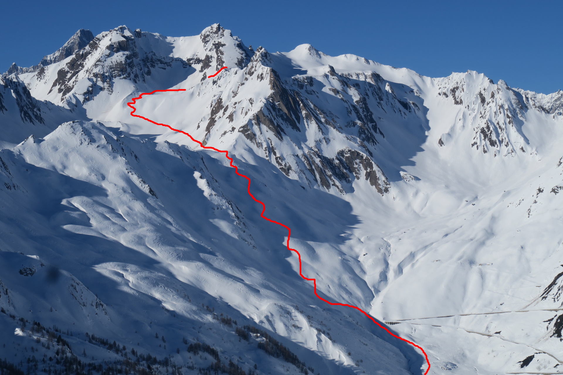
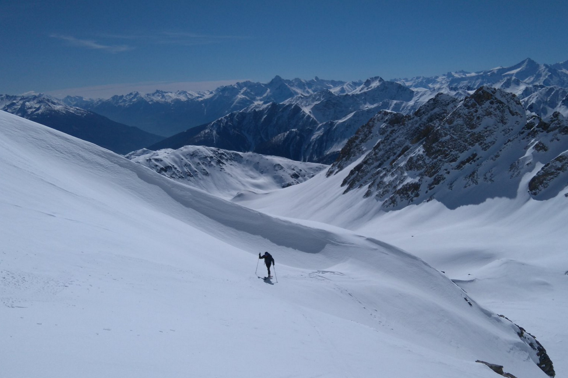
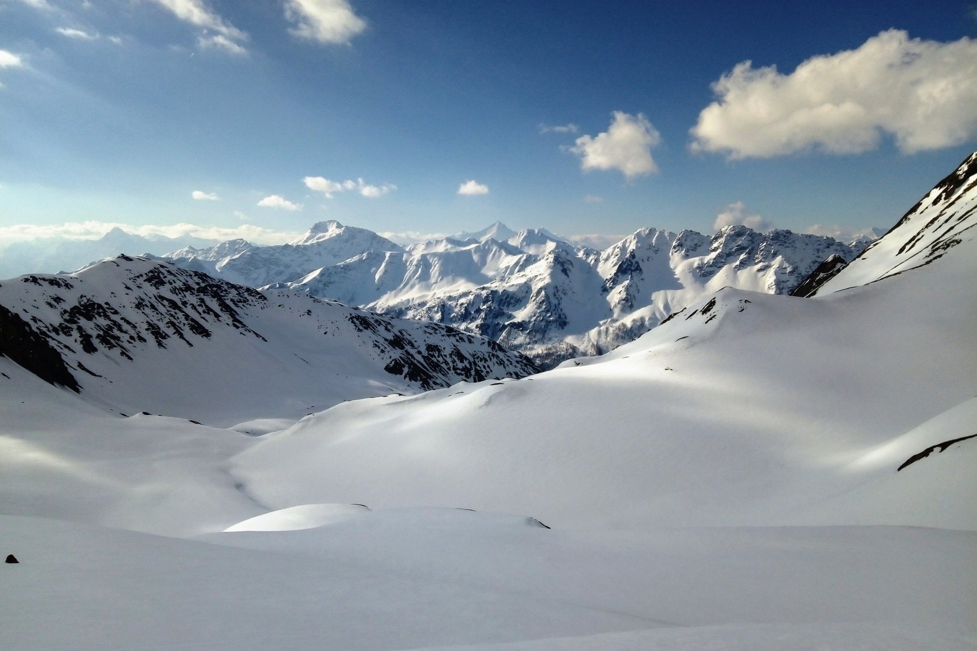
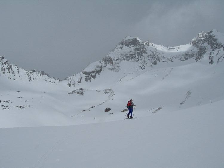
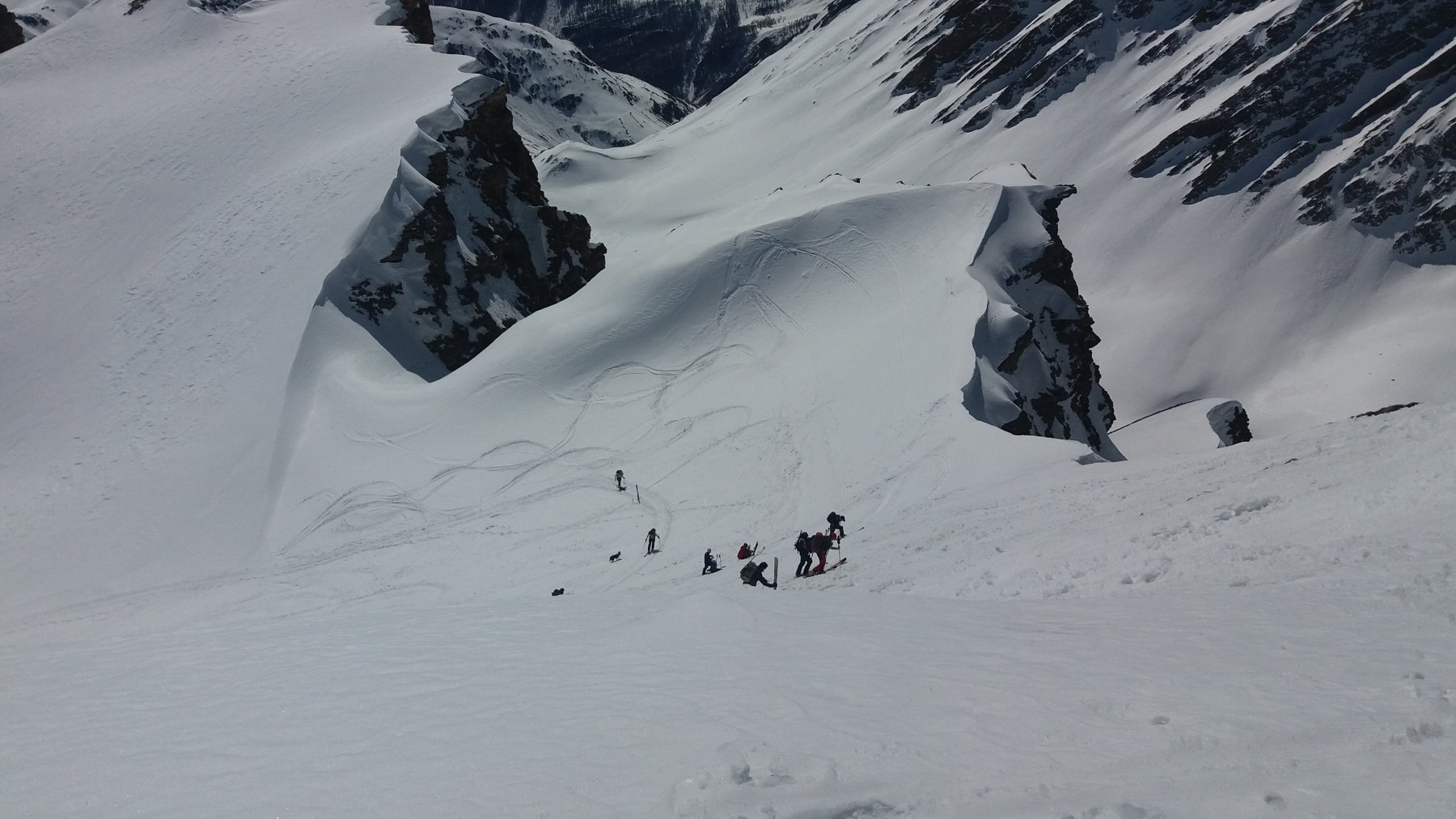
The Col des Angroniettes is a snowy saddle that overlooks the magnificent Bandarray Valley and the Swiss Ferret valley. Discreetly complex and demanding, this route offers unusual glimpses on one of the least explored areas in the W Pennine Alps. From the col, a sensational vista on the E face of Grand Golliat opens up in front of you: you may even reach the pre-summit from the col, climbing up a steep and exposed slope.
The route is made up by an initial climb as far as the Saint-Rhémy col and then a quick descent in the solitary Thoules Valley. Discreetly steep, the final climb must be undertaken only if you are an expert ski mountaineer.
You may also choose this route at the end of May/beginning of June, when the road to the Grand Saint Bernard col is open: in that case, the trailhead is at 2.080m (please check for the exact opening date).
Make the descent via your skin track, freely.
Approach
- Timing: 3h30’ up
- Best season: April - May
- Aspect of the descent: E then N
- Ascent length: 7.900m
In the presence of Grand Golliat
The Col des Angroniettes is a snowy saddle that overlooks the magnificent Bandarray Valley and the Swiss Ferret valley. Discreetly complex and demanding, this route offers unusual glimpses on one of the least explored areas in the W Pennine Alps. From the col, a sensational vista on the E face of Grand Golliat opens up in front of you: you may even reach the pre-summit from the col, climbing up a steep and exposed slope.
The route is made up by an initial climb as far as the Saint-Rhémy col and then a quick descent in the solitary Thoules Valley. Discreetly steep, the final climb must be undertaken only if you are an expert ski mountaineer.
You may also choose this route at the end of May/beginning of June, when the road to the Grand Saint Bernard col is open: in that case, the trailhead is at 2.080m (please check for the exact opening date).
Make the descent via your skin track, freely.
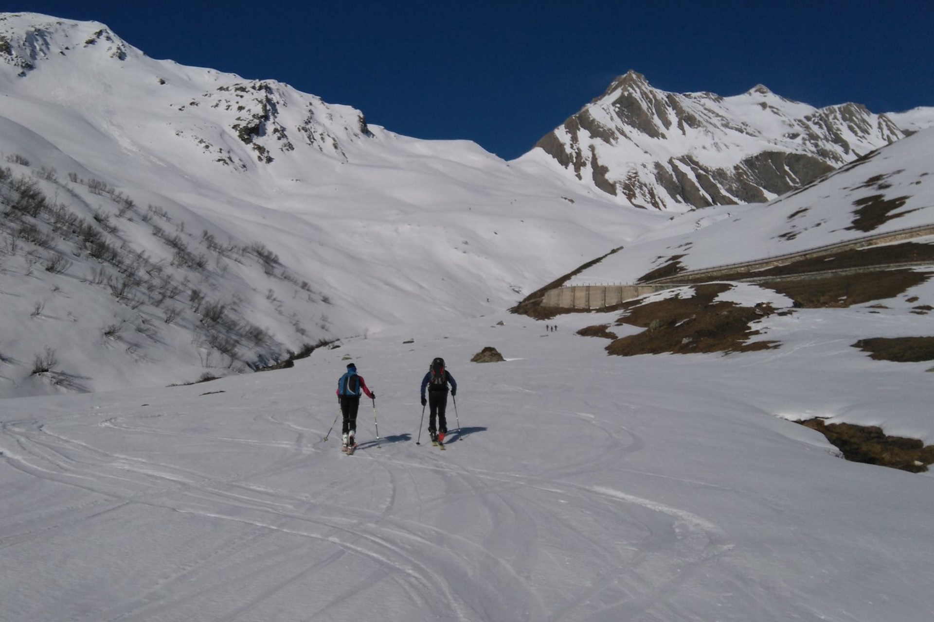
From the motorway exit Aosta Est, take the tunnel leading to the Grand Saint Bernard valley, then follow it and go beyond the hamlets of Gignod, Etroubles and Saint-Oyen. Turn right shortly before Bosses and take the state road 27 leading to the Grand Saint Bernard Col. Drive past Saint-Rhémy and, after 1,3 km, you will reach the place where the road is not cleared from snow during the winter months. Park in the nearby spaces.
Description
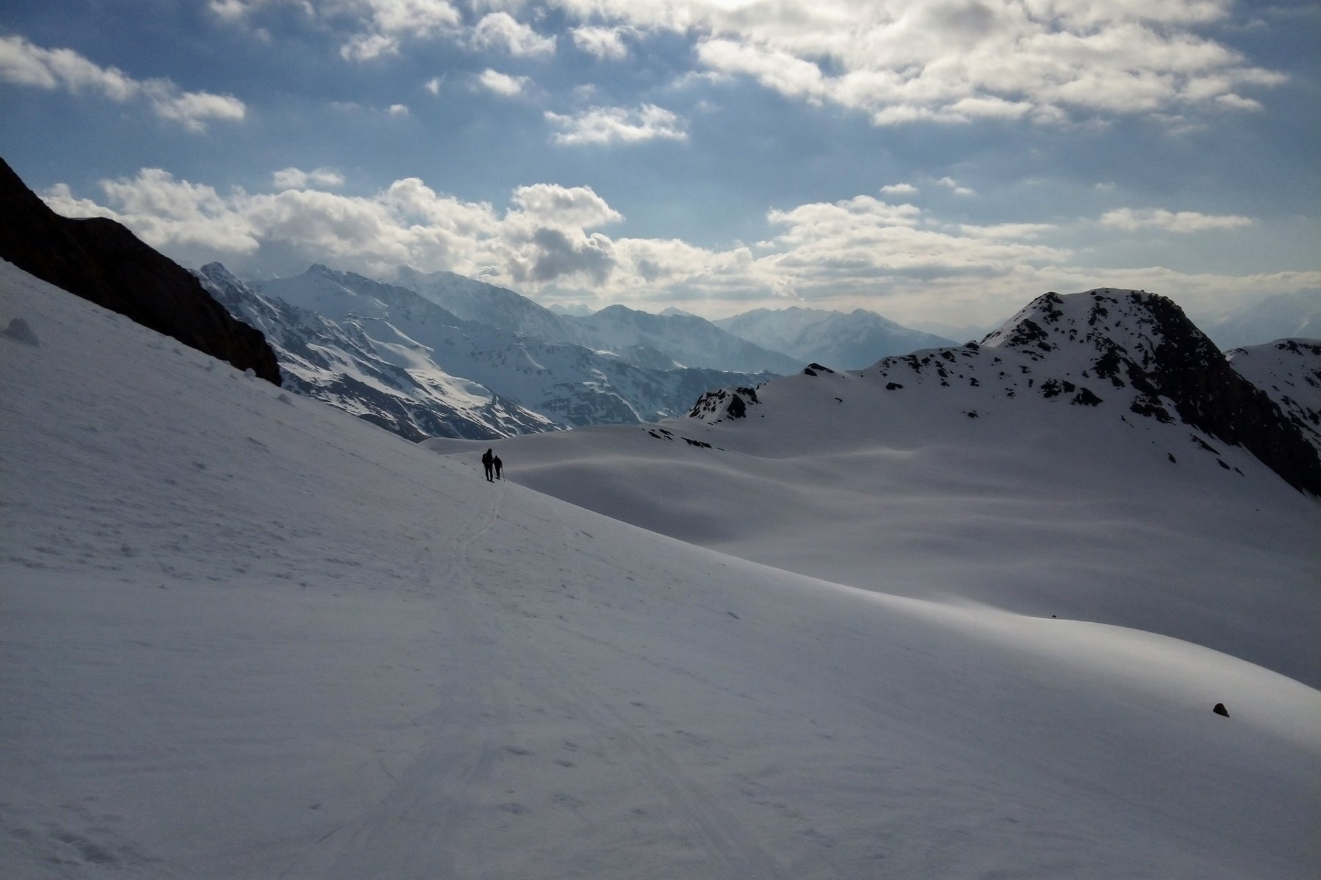
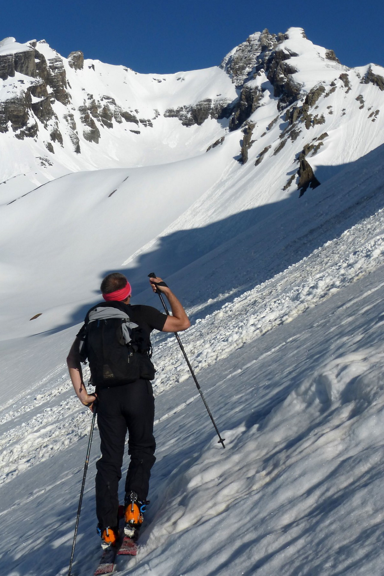
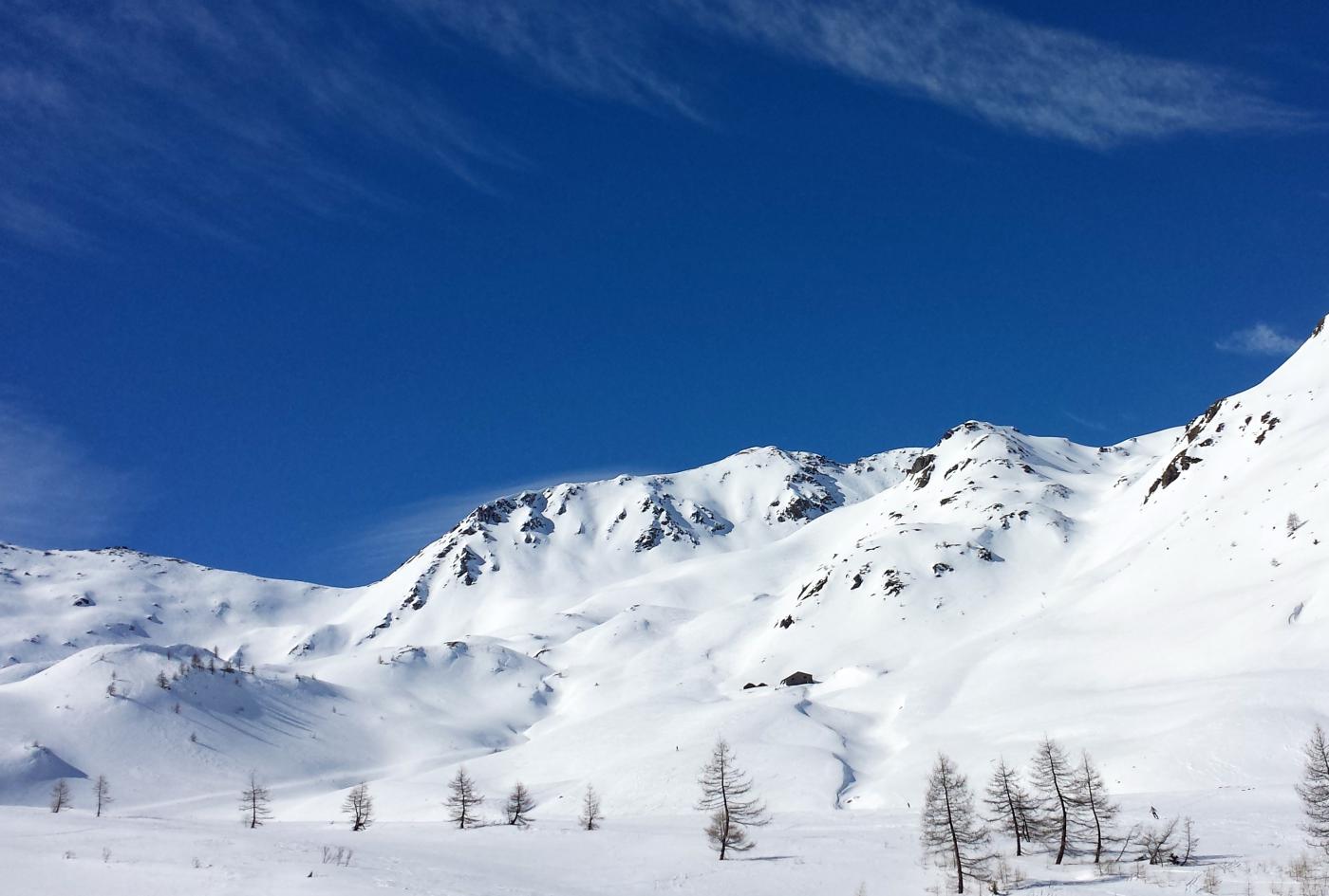
Follow the snowy road closely as far as the plateau, where you cross the Gran Saint Bernard stream. Once you have traversed it and are on the bridge, turn right and follow a shallow forestry road that runs alongside the hamlets of La Tuette (1778m) and, shortly afterwards, goes underneath the Tunnel viaduct. Descend slightly halfway up the hillside and enter the Thoules Basin; at the end of it, keep going in the valley, staying below the Aiguille des Sasses before tackling the steep, final couloir. Climb up the broad couloir and then traverse to the right, aiming at the large saddle that marks the Col des Angroniettes (2975m).
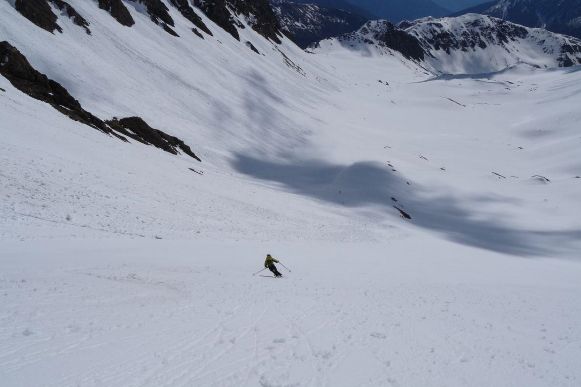
Descent
The descent is via your uptrack, skinning up again to reach the Saint-Rhemy col. The following descent takes place in the large bowl, following the skin track or, late in the season, keeping to the right reaching the hairpin bend above Pra d’Arc. This is a pleasant walk that offers good lappable terrain and consistent good snow conditions: close to the tunnel viaduct, the slope shallows out.
Nearby Map
Routes
March 27, 2022 AO, Saint-Rhemy-En-Bosses D+ 1094 m BS N
Ceingles (Col des) da Comba de Thoules
 50m
50m
March 30, 2024 AO, Saint-Rhemy-En-Bosses D+ 880 m MS N
Crévacol (Tête de) North-Est side
 50m
50m
February 4, 2024 AO, Saint-Rhemy-En-Bosses D+ 1299 m BS E
Sasses (Aiguille des) or Lesache
 50m
50m
February 8, 2024 AO, Saint Rhemy D+ 1183 m MS S
Pain di Sucre
 50m
50m
February 18, 2024 AO, Saint-Rhemy-En-Bosses D+ 1200 m MS S
Fourchon (Mont)
 50m
50m
February 25, 2024 AO, Saint-Rhemy-En-Bosses D+ 922 m BS N
Rodzo (Mont)
 50m
50m
February 24, 2024 AO, Saint-Rhemy-En-Bosses D+ 1390 m BS E
Valletta (Punta) – Citrin valley
 2.4Km
2.4Km
February 13, 2022 AO, Saint-Rhemy-En-Bosses D+ 1395 m BSA N
Flassin (Mont) Pre-summit – Citrin valley
 2.5Km
2.5Km
March 20, 2024 AO, Saint-Oyen D+ 1450 m BS N
Vertosan (Mont)
 2.8Km
2.8Km
March 19, 2024 AO, Saint-Oyen D+ 1387 m MS N
Flassin (Mont) Pre-Summit – Flassin valley
 2.8Km
2.8Km
Services
700m
 750m
750m
Ristorante Suisse Restaurant
Saint Rhemy 750m
750m
Hotel Ristorante Suisse Hotel
Saint-rhemy-en-bosses 2Km
2Km
Prosciutteria sous le pont de Bosses Restaurant
Saint-rhemy-en-bosses 2.2Km
2.2Km
La Vieille Cloche B&B
Saint-rhemy-en-bosses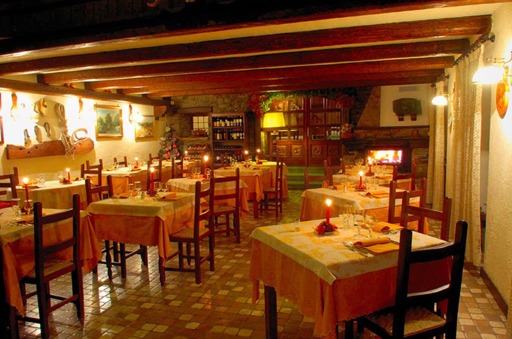 2.3Km
2.3Km
Ristorante Des Alpes Restaurant
Saint Rhemy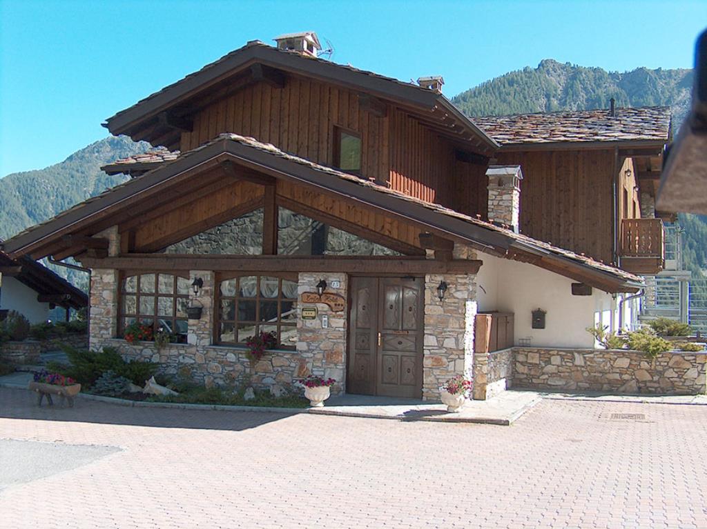 2.3Km
2.3Km
Hotel Des Alpes Hotel
Saint-rhemy-en-bosses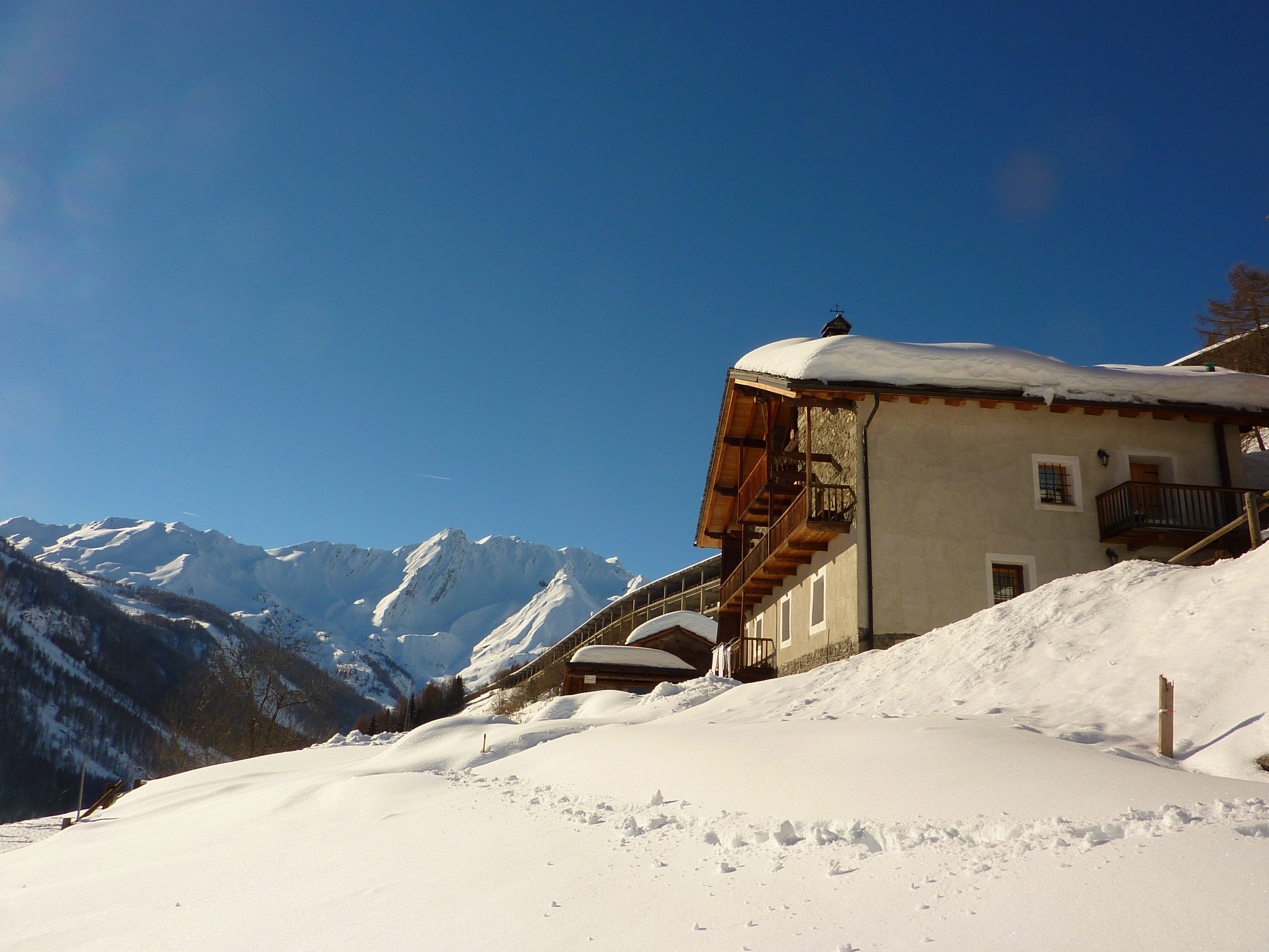 2.5Km
2.5Km
La Thuillettaz B&B
Saint-Rhemy-En-Bosses 2.9Km
2.9Km
Le Nouveau Foyer Restaurant
Saint-rhemy-en-bosses 2.9Km
2.9Km