


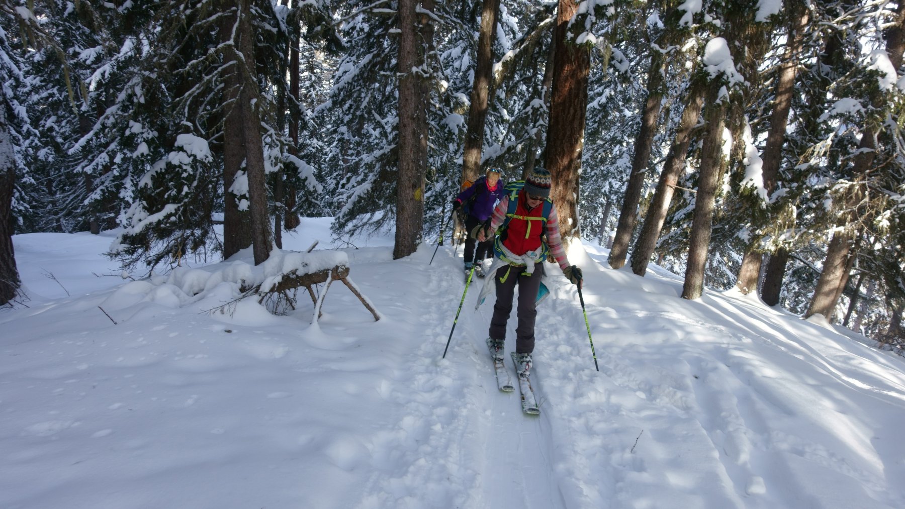
The Arby Valley route is a level-marked, off piste trail to be undertaken with skis
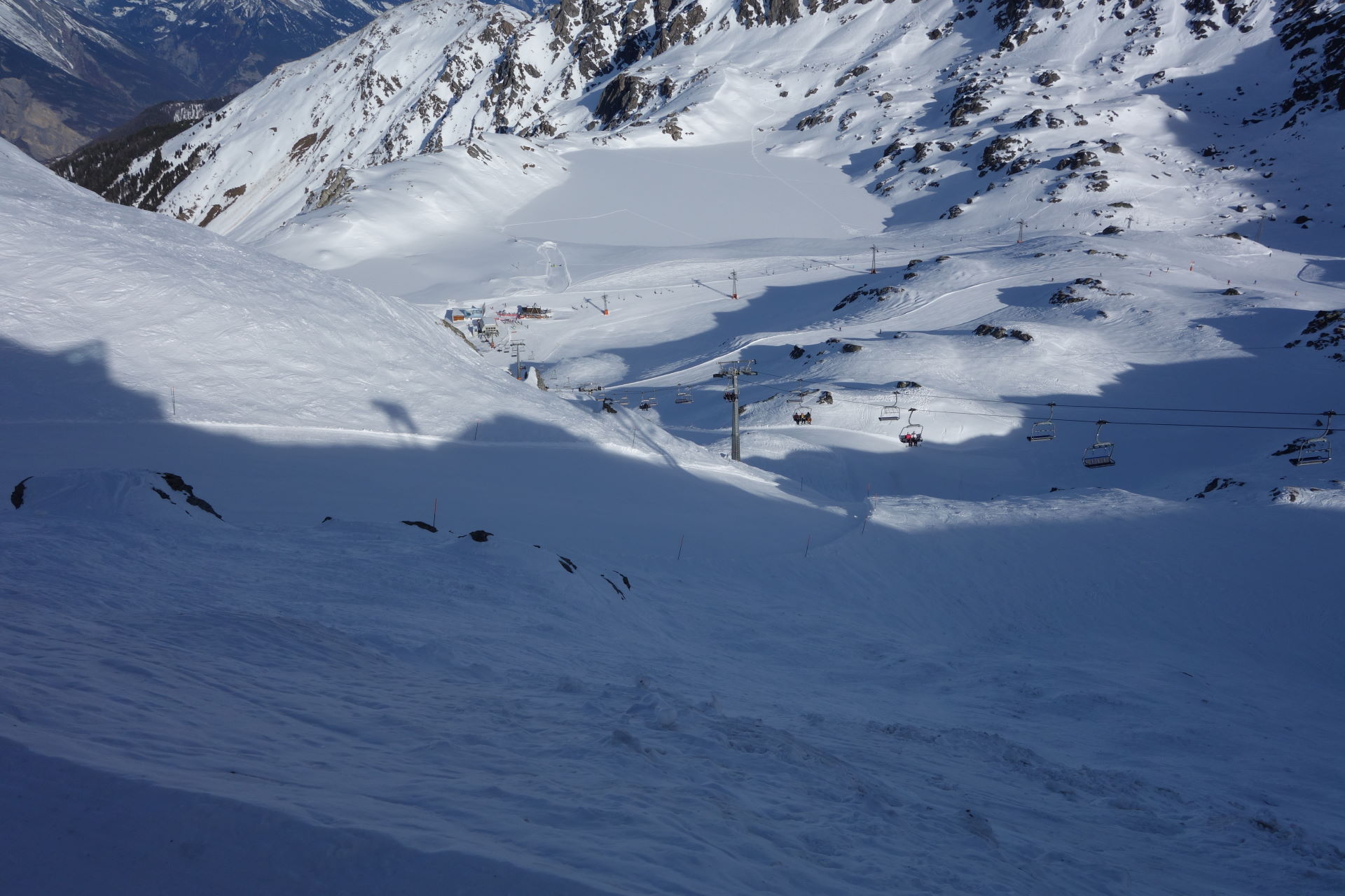
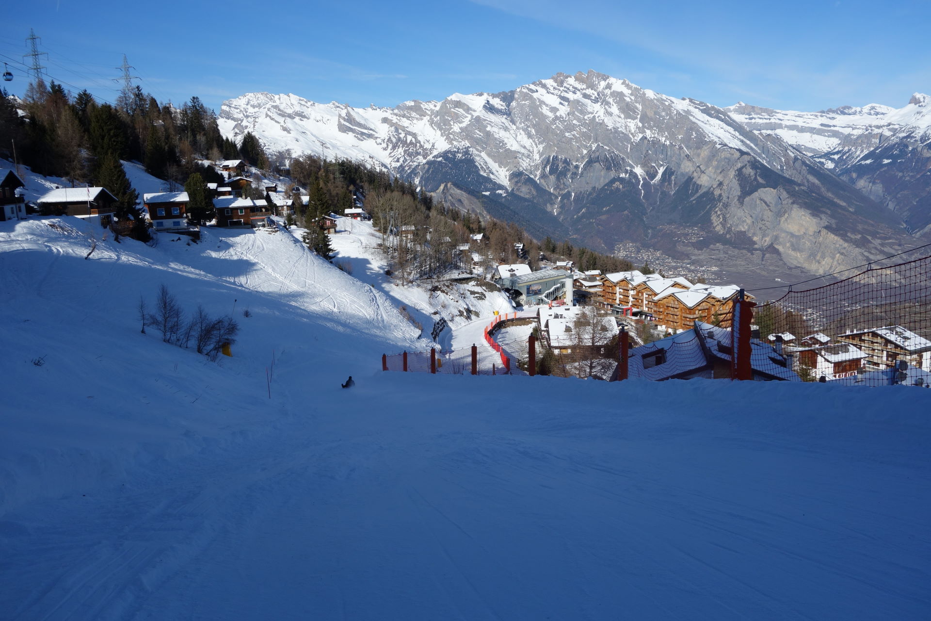
From the top of the Attelas lift in Verbier, go down along the Lac des Vaux slope. 200m before the lift, keep to the left of the slope. At an altitude of 2540m, follow the itinerary to the left, called «Col des Mines, Vallon d’Arbi».
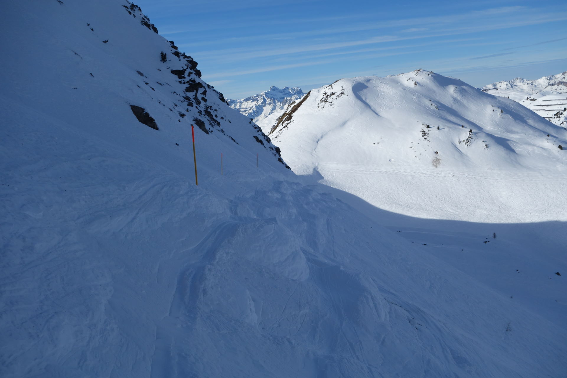
Go towards the visible net, clearly stating whether the route is open or not.
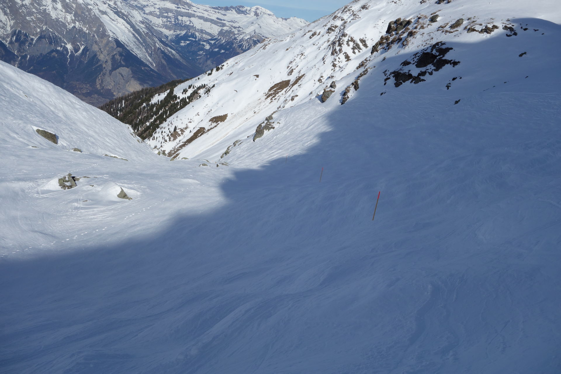
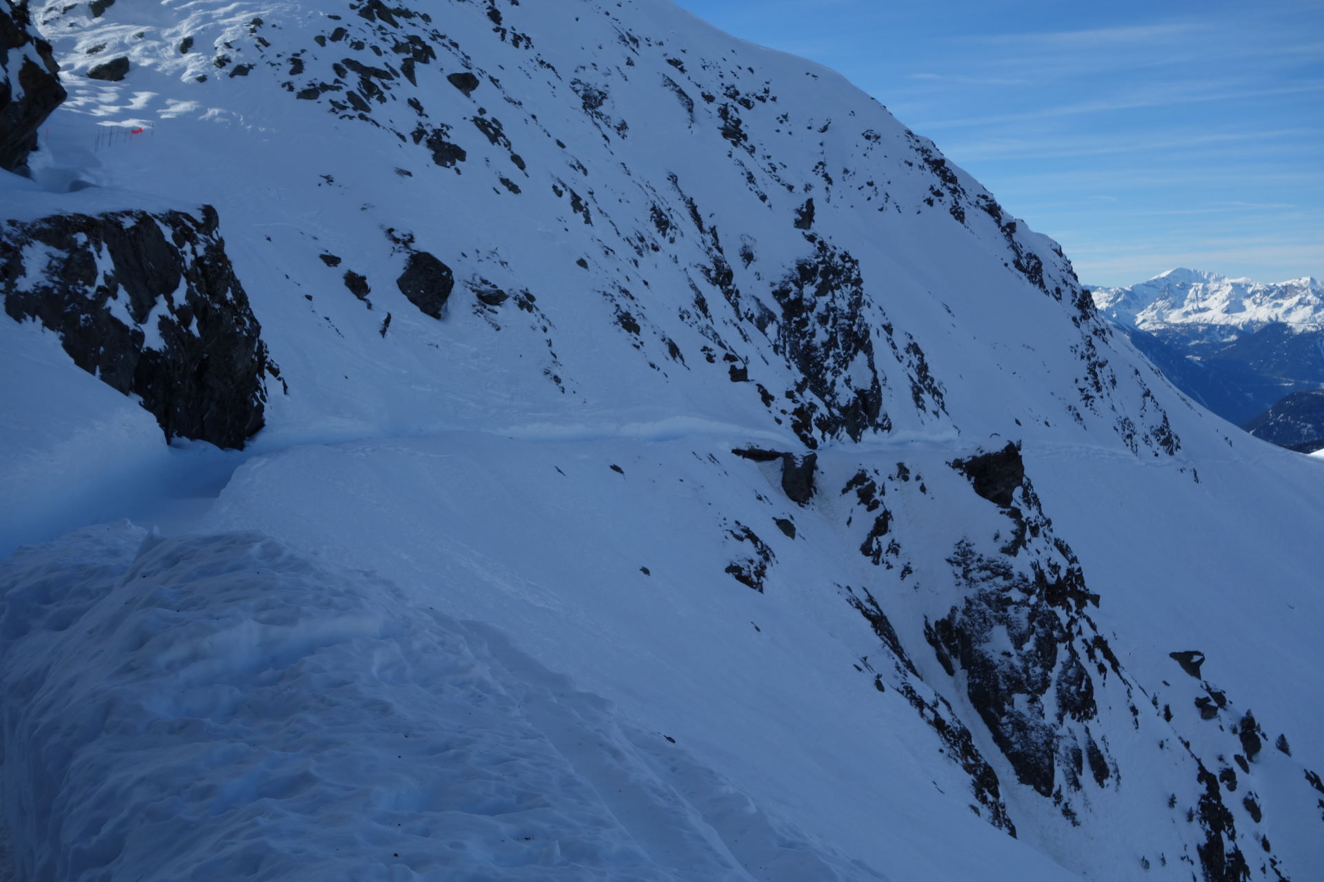
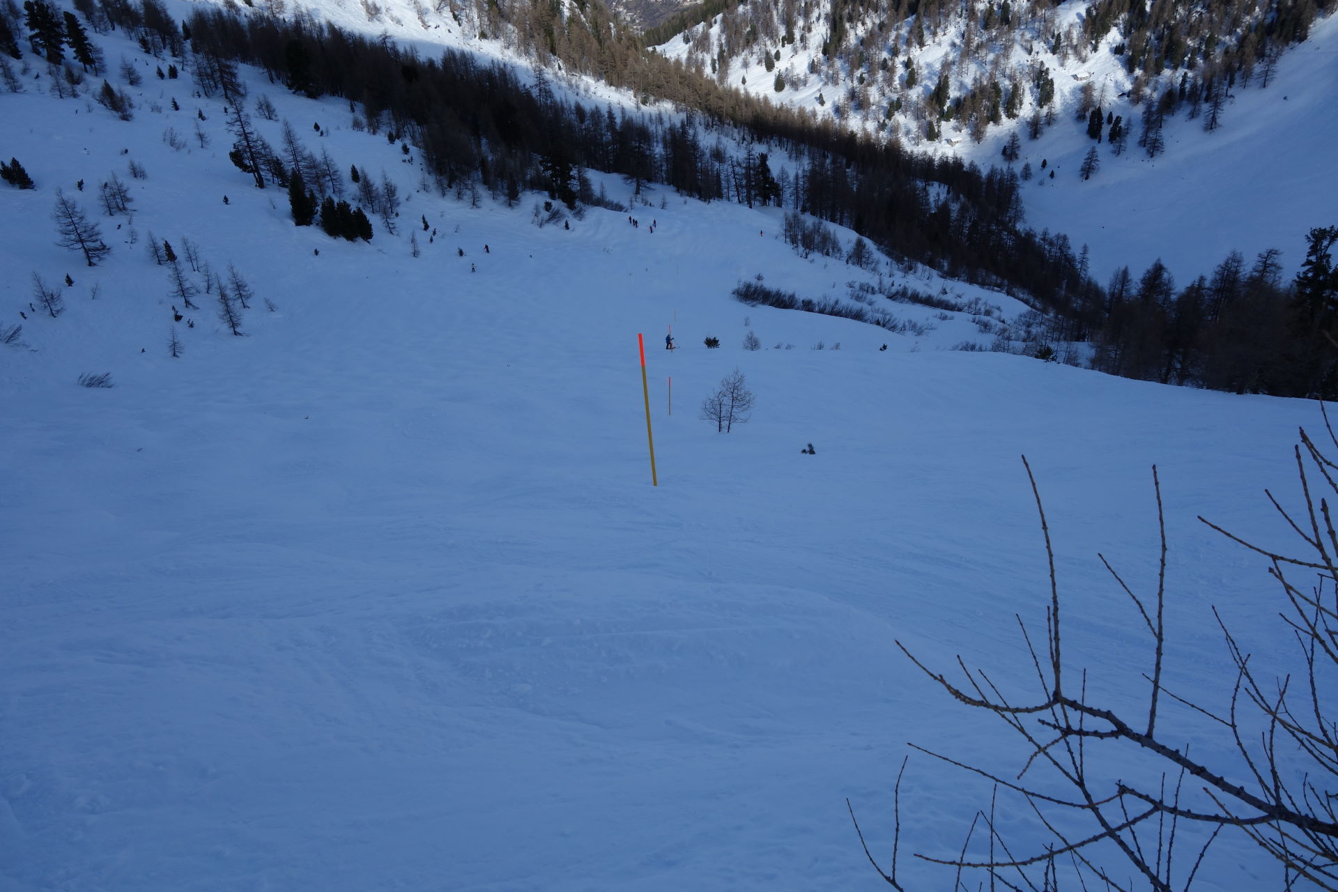
Follow the indications that mark out the ski route (wooden poles).
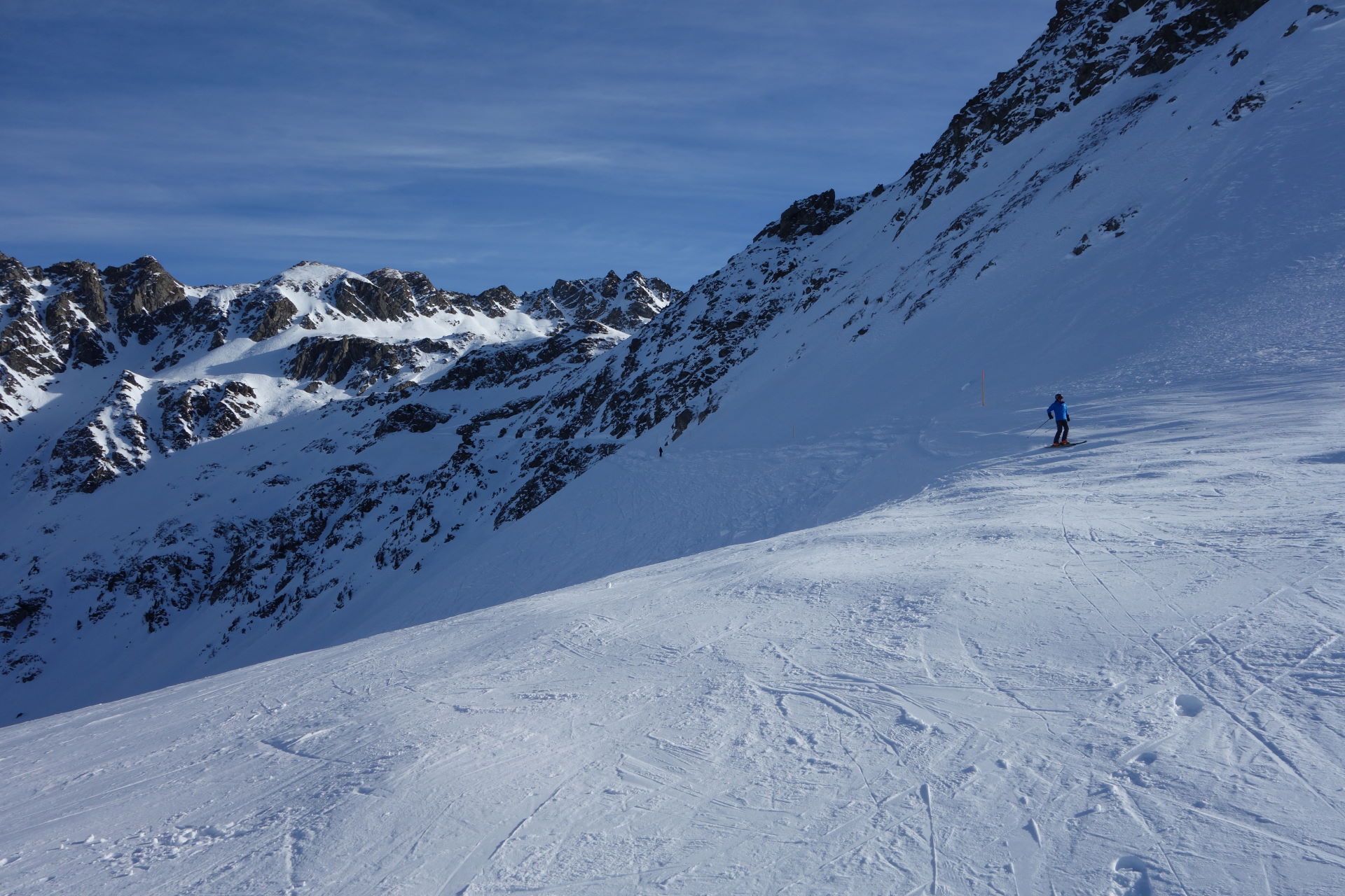
Go down the first valley, fully north-facing, until you reach an altitude of about 2400m; from here, take a small road to the right (made by the ski patrols with a snow milling machine). Follow it and take the switchback to the left. From here, follow the route on the left face, towards the Col des Mines, for about 500m.
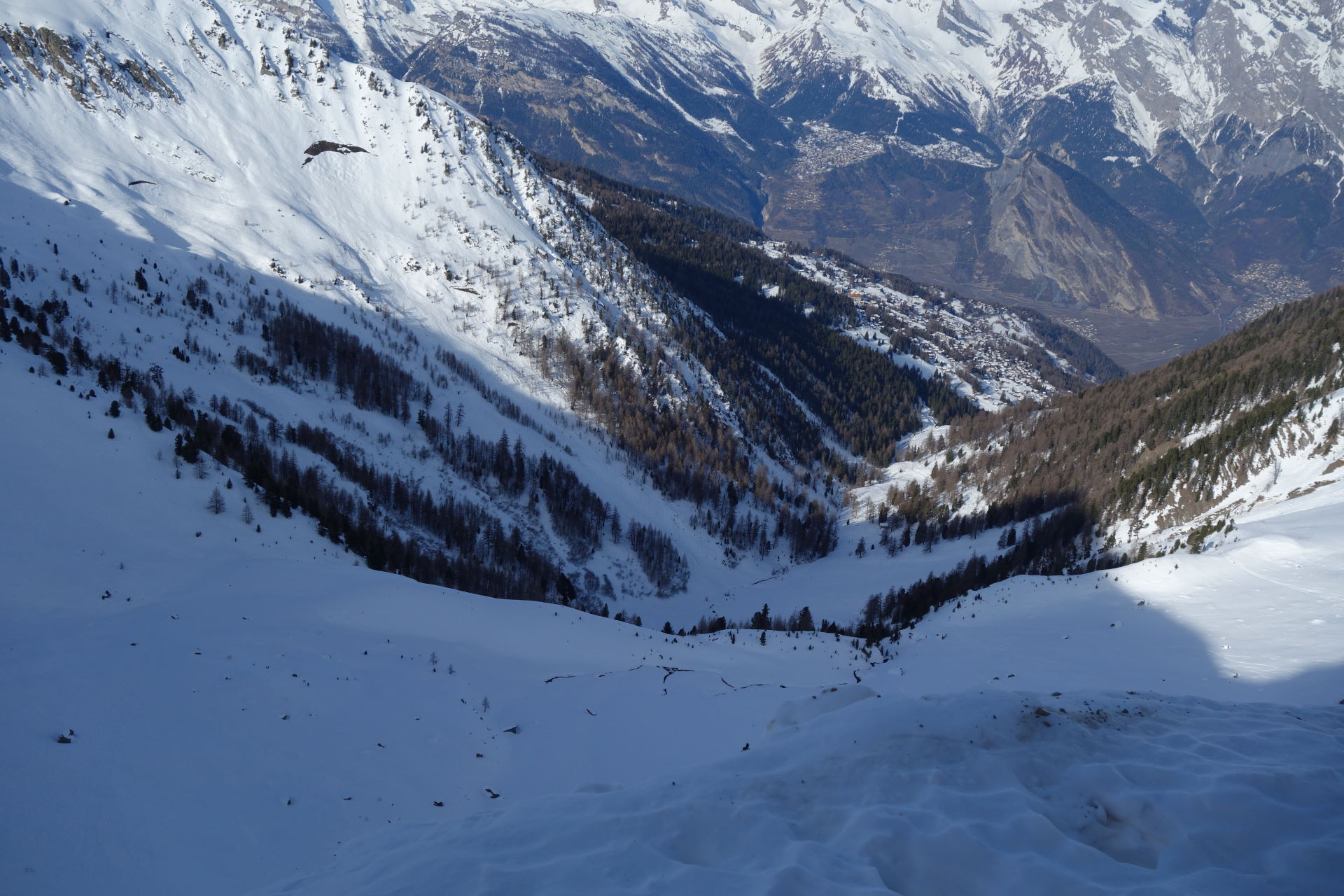
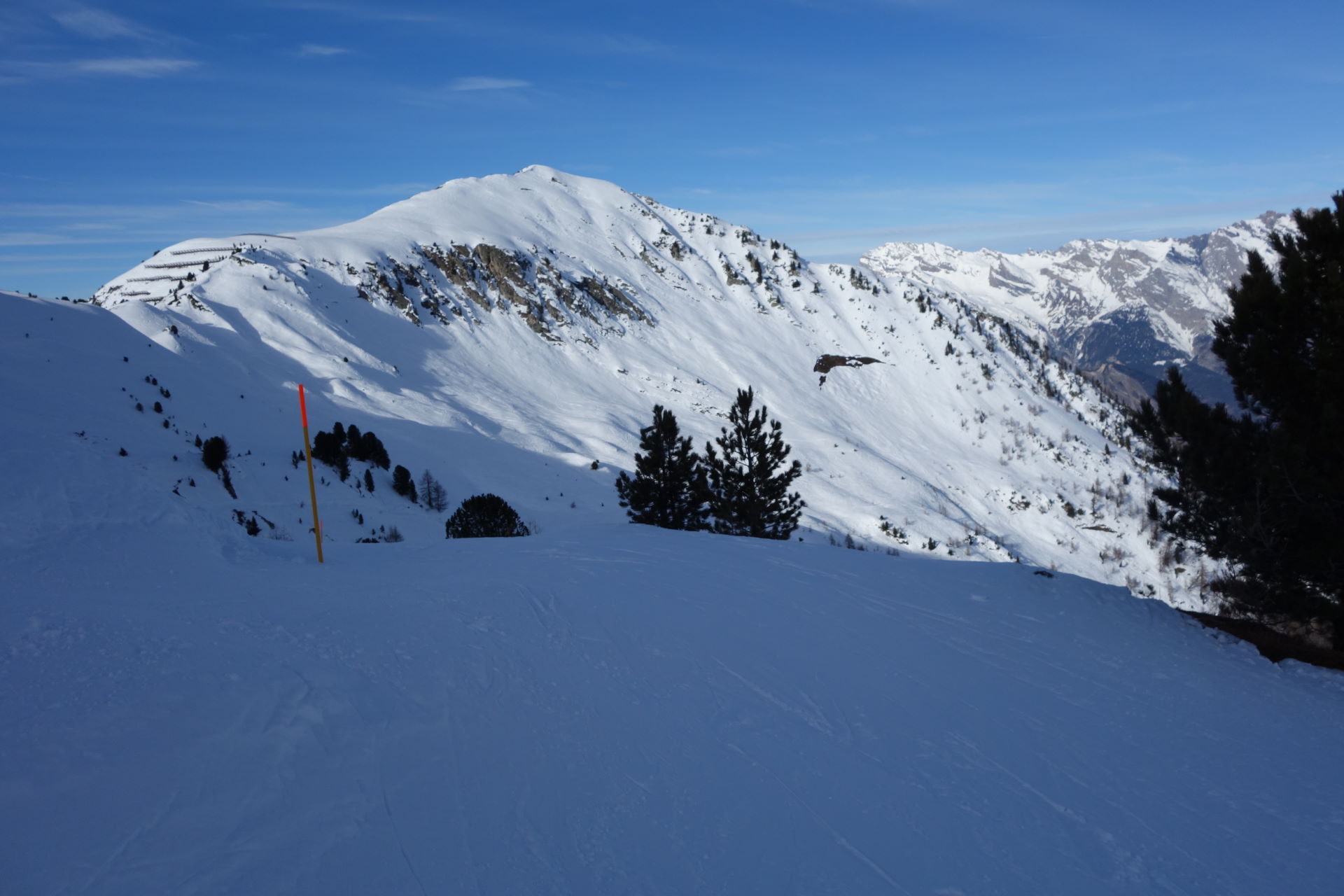
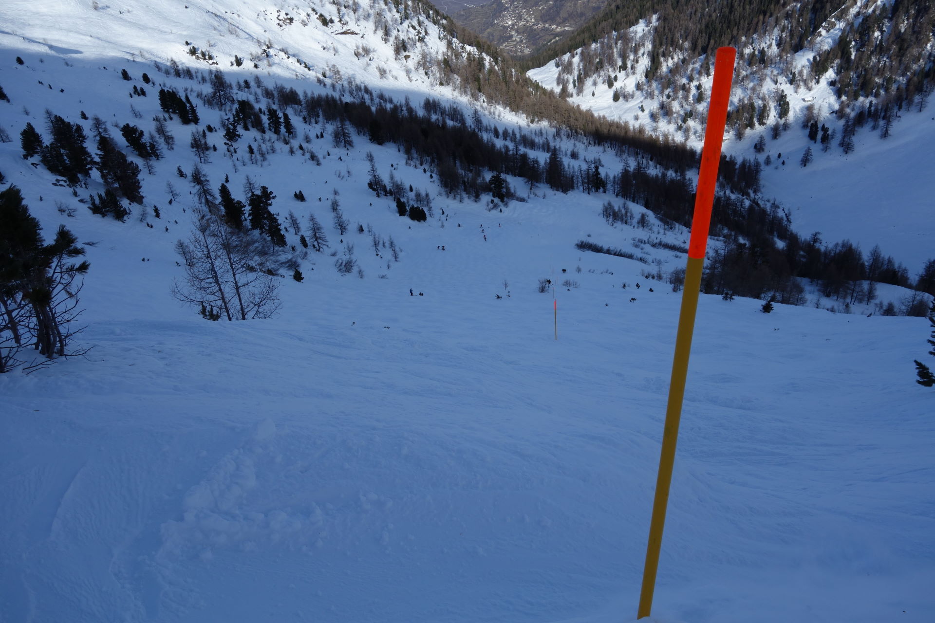
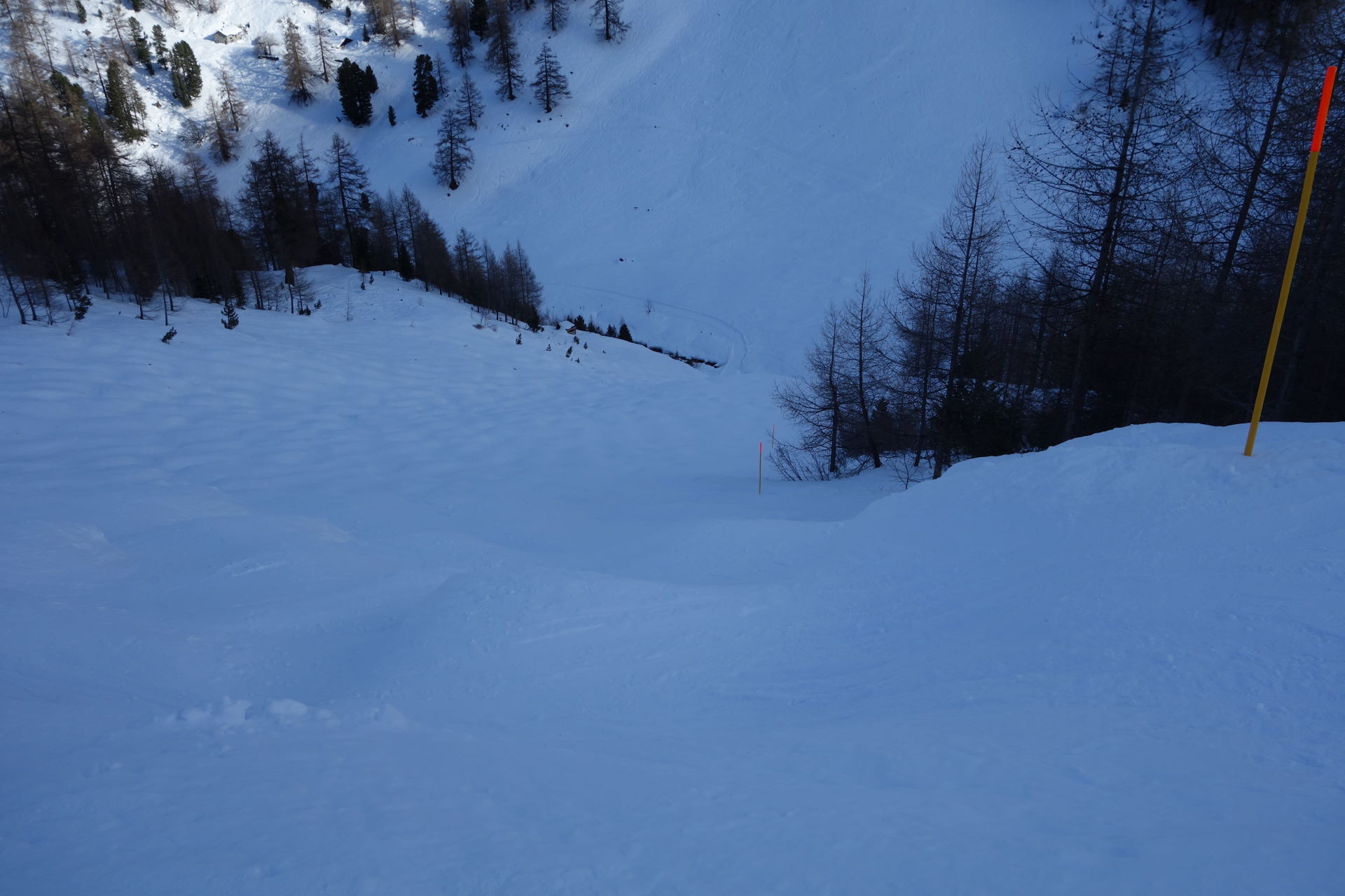
The route comes to a halt, so keep going on the left face along the poles for about 500m as far as the Col des Mines. Enter the Arbi Valley to the right, aiming at La Tzoumaz. Follow the poles on the left face, your direction the Tête des Etablons, until you reach an altitude of about 2200m. From here, the route goes down, fully north facing, as far as an altitude of about 1992m. Follow the poles for approximately 100m to the left, then go down NE and reach the bottom of the valley, your altitude 1845m; here you will find a snowy bridge, which you will cross.
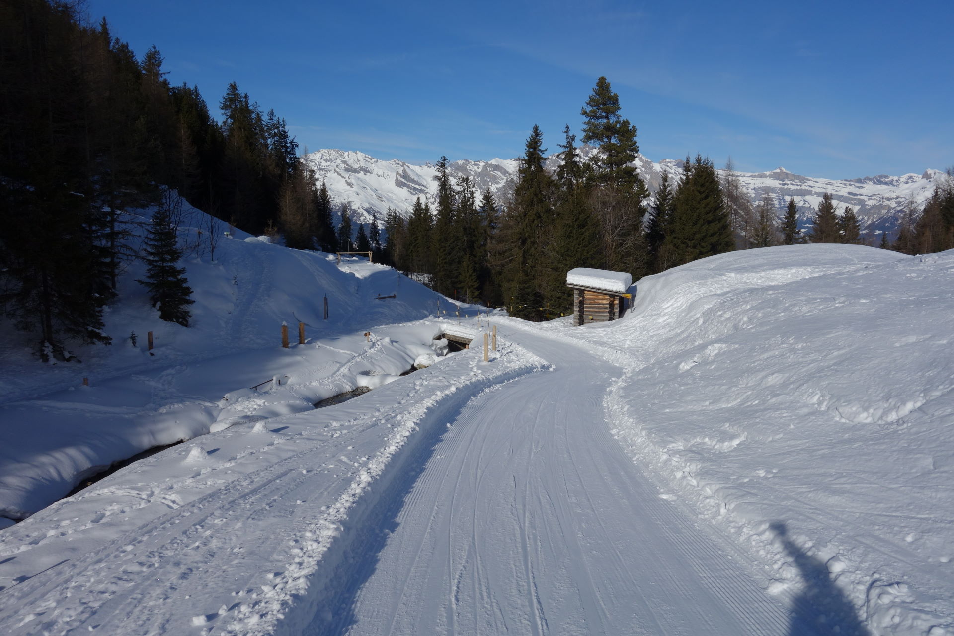
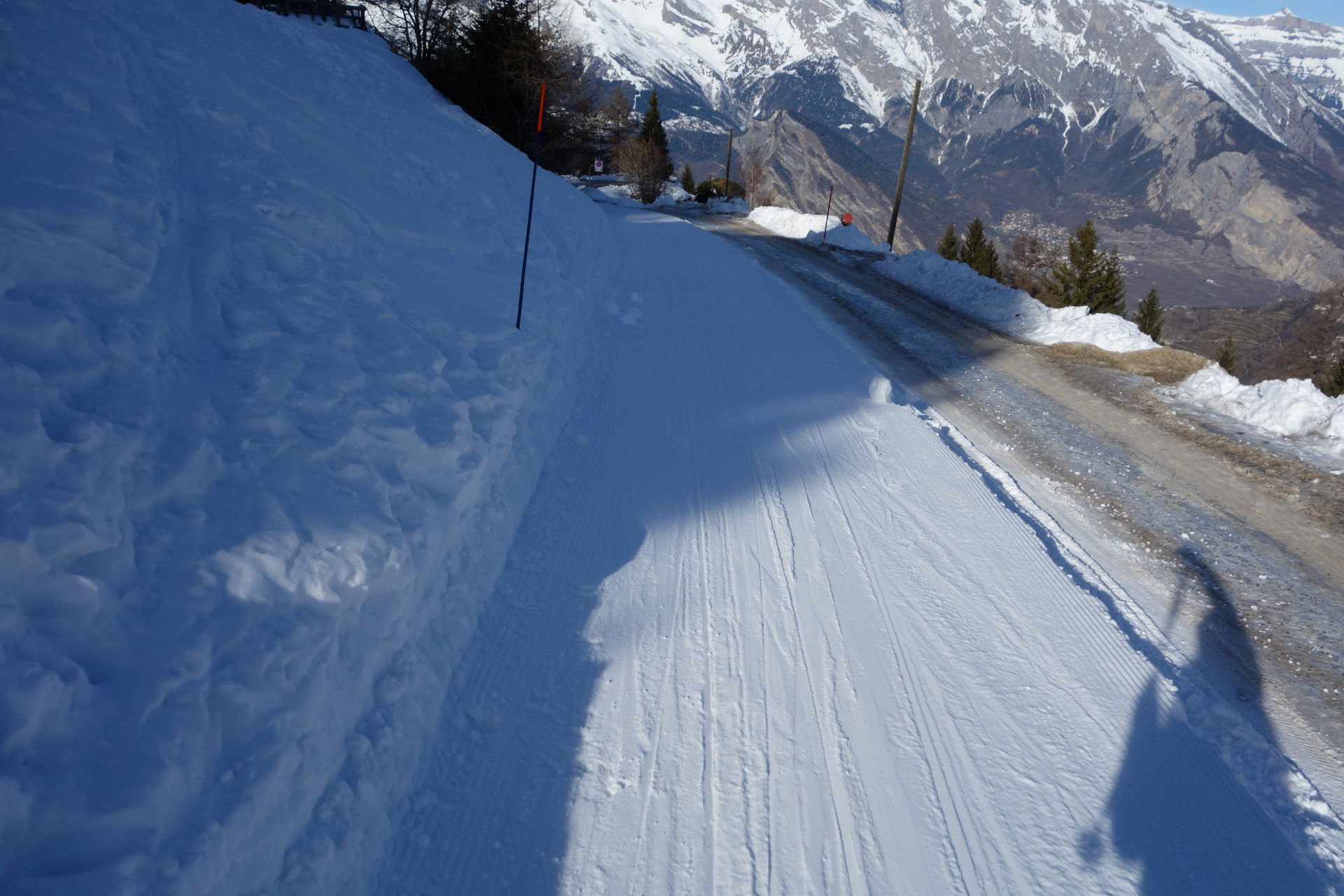
From here, the route goes via a snowy road; follow it as far as the la Tzoumaz roundabout. Take off your skis and cross the road on foot. Put your skis back on and follow the snow slopes for about 500m as far as the La Tzoumaz cable car departure.
Take the cable car and reach the top of Savoleyres; from here, follow the ski slope to go back to Verbier.
Nearby Map
Routes
Mont Gelé itinerary, along the descent called la Grande – Journée
 1.2Km
1.2Km
Rogneux (Mont)
 6.4Km
6.4Km
La Côt – Six Blanc
 9.2Km
9.2Km
Crêta de Vella
 15.6Km
Bonhomme du Tsapi
 18Km
18Km
Ecandies (Col des)
 19.5Km
Telliers (Monts)
 23.7Km
Drone (Pointe du)
 23.7Km
La Dotzte
 27.2Km
Col Fenêtre Circular
 28.7Km