 1.8Km
1.8Km
Avvicinamento
 50m
2.1Km
2.8Km
2.8Km
2.8Km
2.8Km
2.8Km
2.8Km
2.8Km
50m
2.1Km
2.8Km
2.8Km
2.8Km
2.8Km
2.8Km
2.8Km
2.8Km
1.8Km
2.4Km
2.5Km
5.5Km
5.9Km
5.9Km
6Km
6.6Km
7.2Km
8Km
.
Descrizione
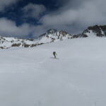
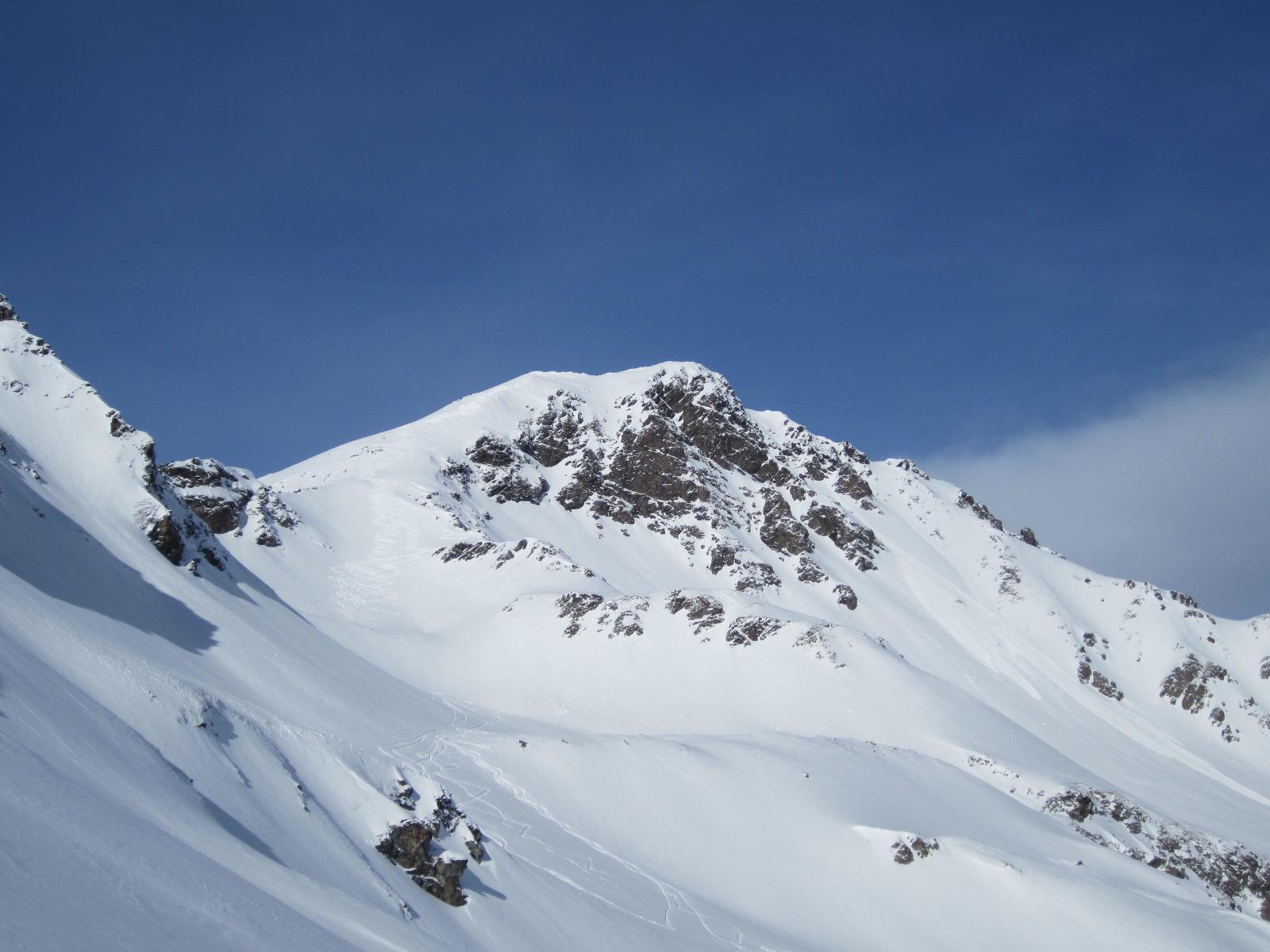
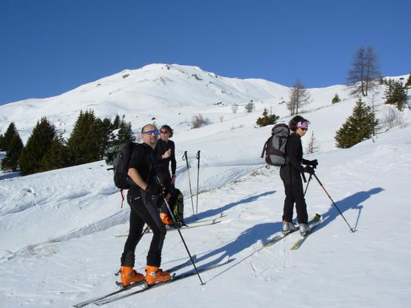
Da Verrogne si risalgono gli ampi prati soprastanti in direzione Nord-Ovest.
Raggiunta l’Alpe Loè si sale decisamente per la massima pendenza attraversando qualche tratto di bosco molto rado.Si continua per ampi pendii in direzione Nord-Est fino alla vetta di Q.2348.
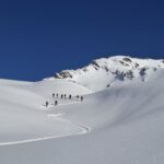
In discesa si percorre la strana dorsale della Becca France in direzione Nord-Ovest finchè non è possibile entrare in Val Clusella.
Si percorre gran parte della Val Clusella fino a superare la cascata mediante la interpoderale della sx orografica.Subito dopo si scende nel fondo della valle e piegando a dx si raggiunge la forestale della dx orografica che in breve conduce a Bellun.
Nelle vicinanze Mappa
Itinerari
18/03/2026 AO, Saint-Pierre D+ 766 m MS Sud-Ovest
France (Becca) quota 2348 da Verrogne
 50m
50m
01/01/2020 AO, Saint-Pierre D+ 651 m MS Sud-Ovest
France (Becca), anticima quota 2348 m da Vetan
 2.1Km
2.1Km
23/02/2025 AO, Saint-Pierre D+ 1500 m OSA Varie
Vertosan (Monte Rosso di) e Mont Vertosan da Vetan, anello
 2.8Km
2.8Km
15/01/2014 AO, Saint-Pierre D+ 1770 m BS Sud
Vertosan (Monte Rosso di) da Vetan, anello per Punta Leysser
 2.8Km
2.8Km
21/03/2026 AO, Saint-pierre D+ 1250 m MS Tutte
Leissè o Leysser (Punta) da Vetan, traversata a Vens
 2.8Km
2.8Km
18/04/2026 AO, Saint-Pierre D+ 1310 m OS, F Sud
Fallère (Mont) da Vetan
 2.8Km
2.8Km
25/03/2025 AO, Saint-Pierre D+ 853 m MS Sud-Est
Aquiletta (Punta) o Oilletta da Vetan
 2.8Km
2.8Km
15/01/2024 AO, Saint-Pierre D+ 1000 m BS Sud-Est
Paletta (Passo) da Vetan
2.8Km
19/03/2026 AO, Saint-Pierre D+ 1175 m BS Sud-Est
Vertosan (Monte Rosso di) da Vetan
 2.8Km
2.8Km
26/04/2026 AO, Saint-Pierre D+ 1061 m BS Nord
Vertosan (Mont) da Vetan, traversata a Saint Oyen
 2.8Km
2.8Km
Servizi
1.8Km
2.4Km
Vetan Ristorante
Saint-Pierre
2.5Km
Notre Maison Albergo
Saint Pierre
5.5Km
La pineta Rifugio
Aymavilles
5.9Km
Beau Sejour Albergo
Arvier
5.9Km
Chez Marisa Ristorante
Sarre
6Km
Atanor Ristorante
Arvier
6.6Km
Gran Paradiso B&B
Jovencan
7.2Km
Carillon Bar
Aymavilles
8Km