850m
850m

Note
 9.4Km
15.8Km
18.6Km
19.7Km
24.9Km
26.6Km
29.2Km
9.4Km
15.8Km
18.6Km
19.7Km
24.9Km
26.6Km
29.2Km
Parcheggio auto ad Entreves, prendere navetta per Planpicieux (Inizio piste da fondo - noleggio materiale in loco)
Descrizione
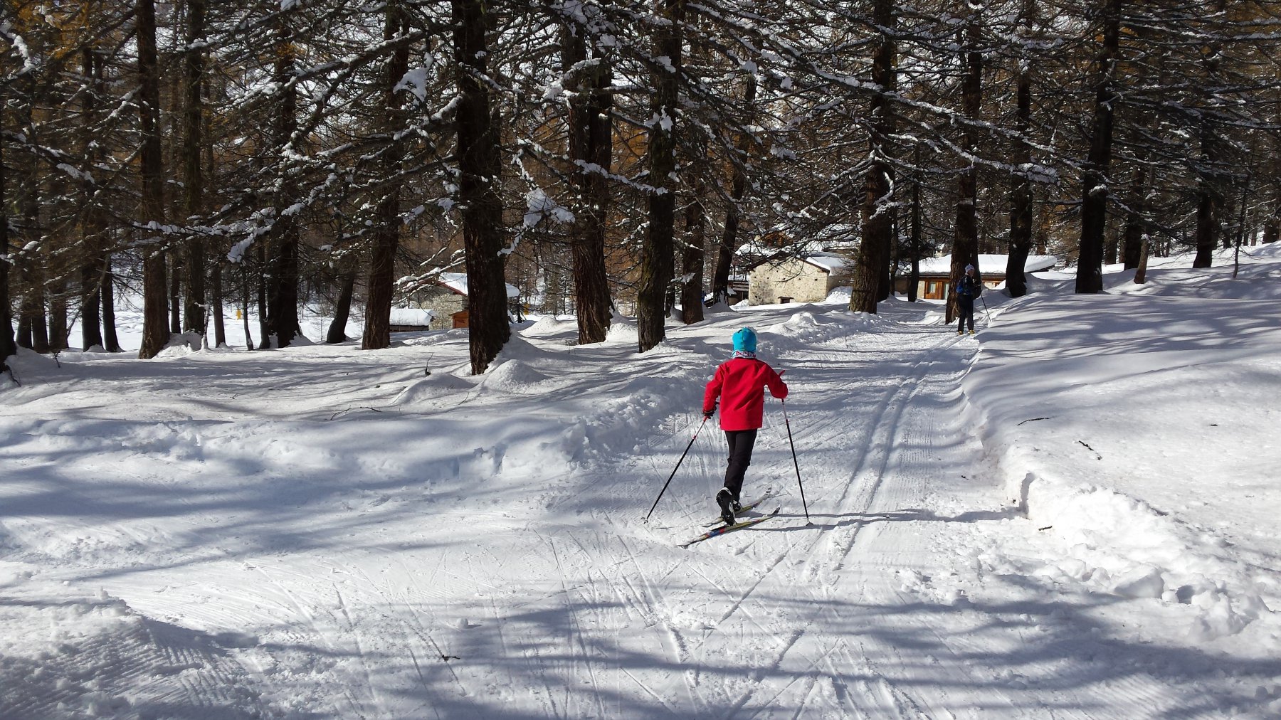
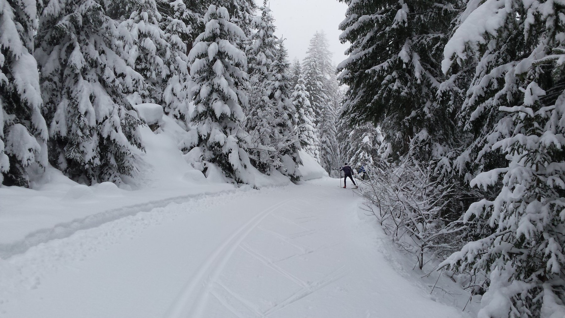
Da Planpicieux le piste da fondo proseguono lungo la Val Ferret (Parte a Sud della Valle) fino a Lavachey, per poi ritornare al punto di partenza passando falla parte a nord della valle stessa.
Numerose varianti della pista offrono salite e discese talvolta impegnative. Presenti anche un paio di punti di attraversamento della valle per accorciare il percorso.
Un’ampia pista pedonale fà si che non si intralcino il traffico dei pedoni (Numerosi) e degli sciatori.
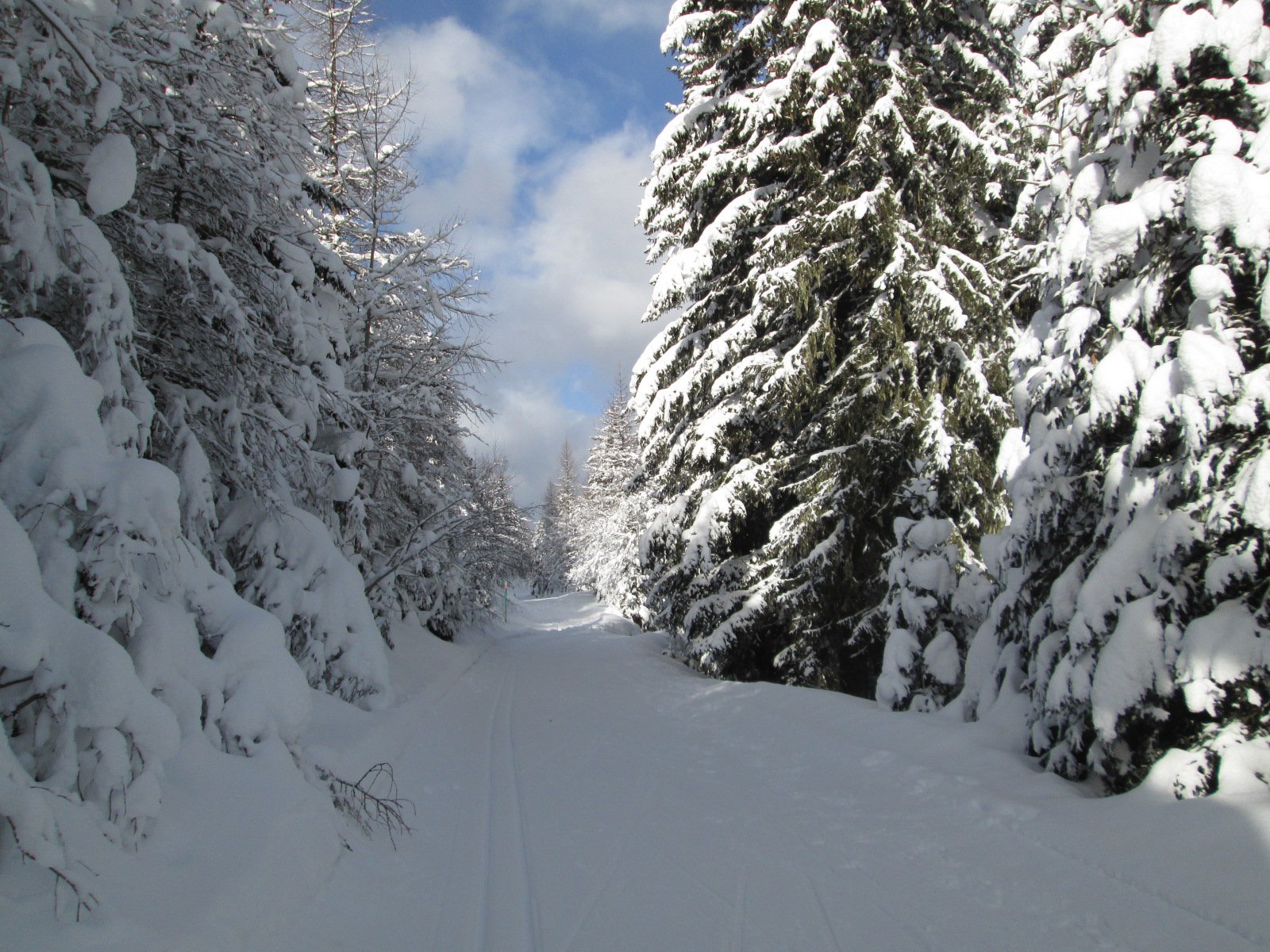
Oltre Lavachey si può proseguire verso Arnouva su pista non battuta; talvolta questa parte del percorso è chiusa per motivi di sicurezza.
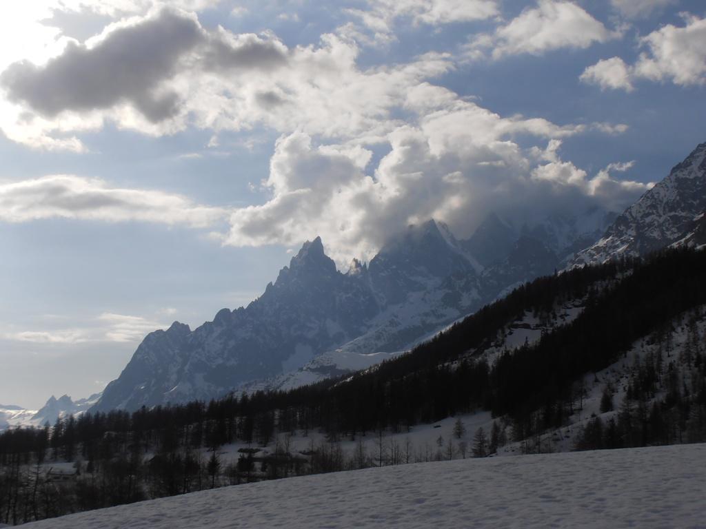
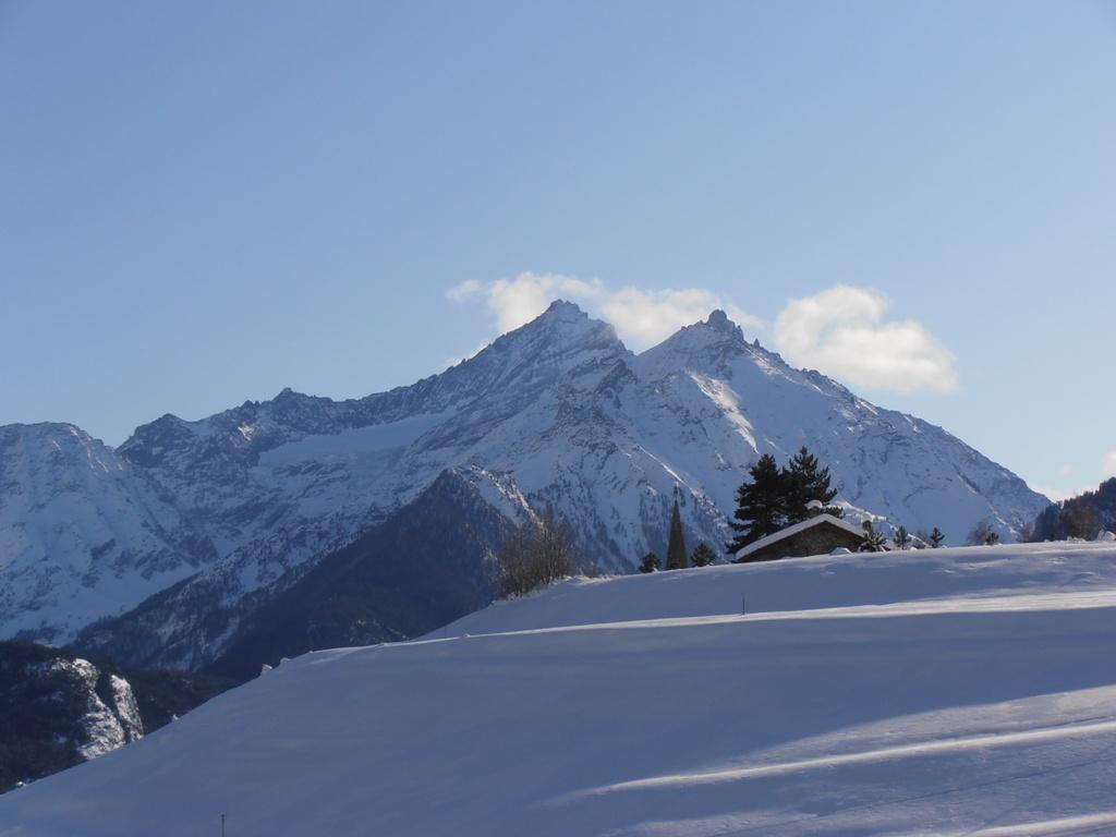
Questa magnifica pista da fondo si snoda ai piedi delle Grandes Jorasses, con vista spettacolare sulla Cresta di Peuterey fino alla cima del Monte Bianco: un luogo dai panorami unici.
Nelle vicinanze Mappa
Itinerari
02/03/2025 AO, Morgex 11 Km Tutte Varie
Arpy – Colle San Carlo
 9.4Km
9.4Km
01/01/2020 Haute-Savoie, Chamonix-Mont-Blanc 12 Km Tutte Varie
Chamonix pista di fondo
 15.8Km
28/12/2024 Haute-Savoie, Chamonix-Mont-Blanc 15 Km Rossa Nord-Est
Argentière
 18.6Km
13/01/2016 Entremont, La Fouly 10 Km Rossa Varie
La Fouly
 19.7Km
18/12/2011 AO, Saint-Nicolas Rossa Sud
Saint Nicolas piste fondo
 24.9Km
03/01/2011 AO, Saint-Pierre 3 Km Rossa Sud-Est
Vetan
25.4Km
19/02/2023 AO, Saint-oyen 18 Km Tutte Nord
Flassin piste da fondo
 26.6Km
19/02/2023 Entremont, Orsières 12 Km Tutte Nord
Champex-Lac
 29.2Km