3Km
3Km


Note
 50m
50m
50m
50m
2Km
2Km
2.6Km
3Km
3.6Km
4.9Km
50m
50m
50m
50m
2Km
2Km
2.6Km
3Km
3.6Km
4.9Km
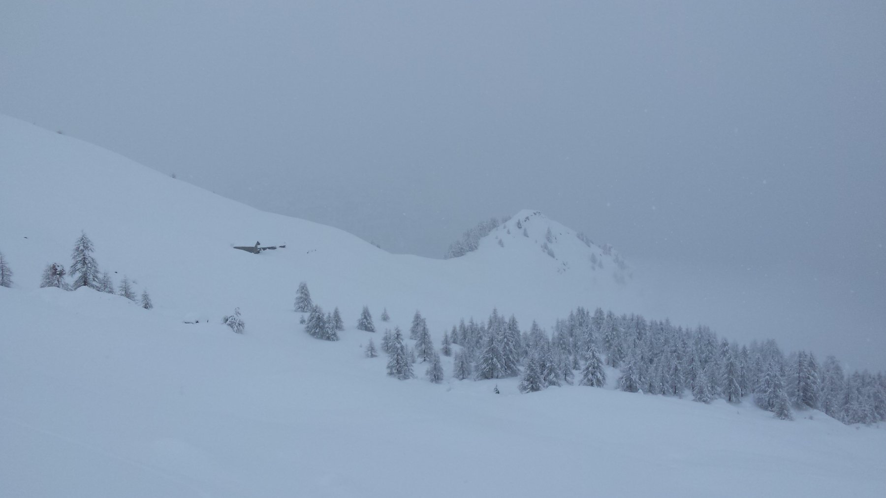
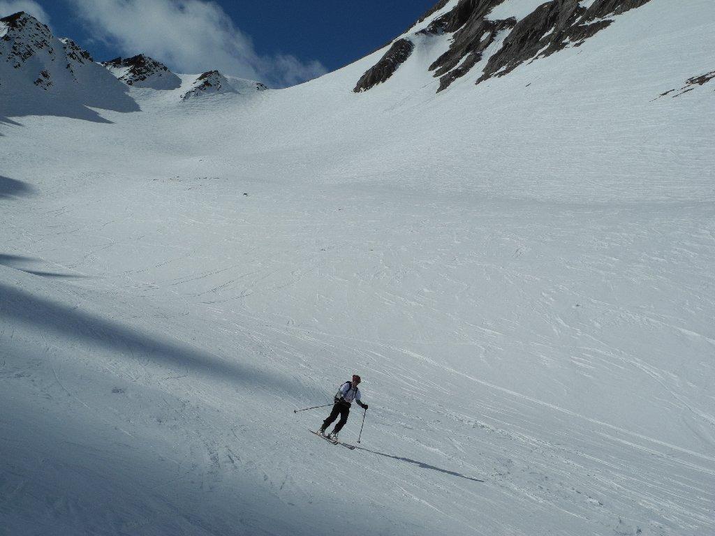
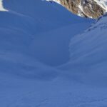
Itinerario conosciuto come fuoripista ma non molto frequentato dagli scialpinisti. Conviene salire presto per non trovare troppa gente che scende.
Avvicinamento
.
Descrizione
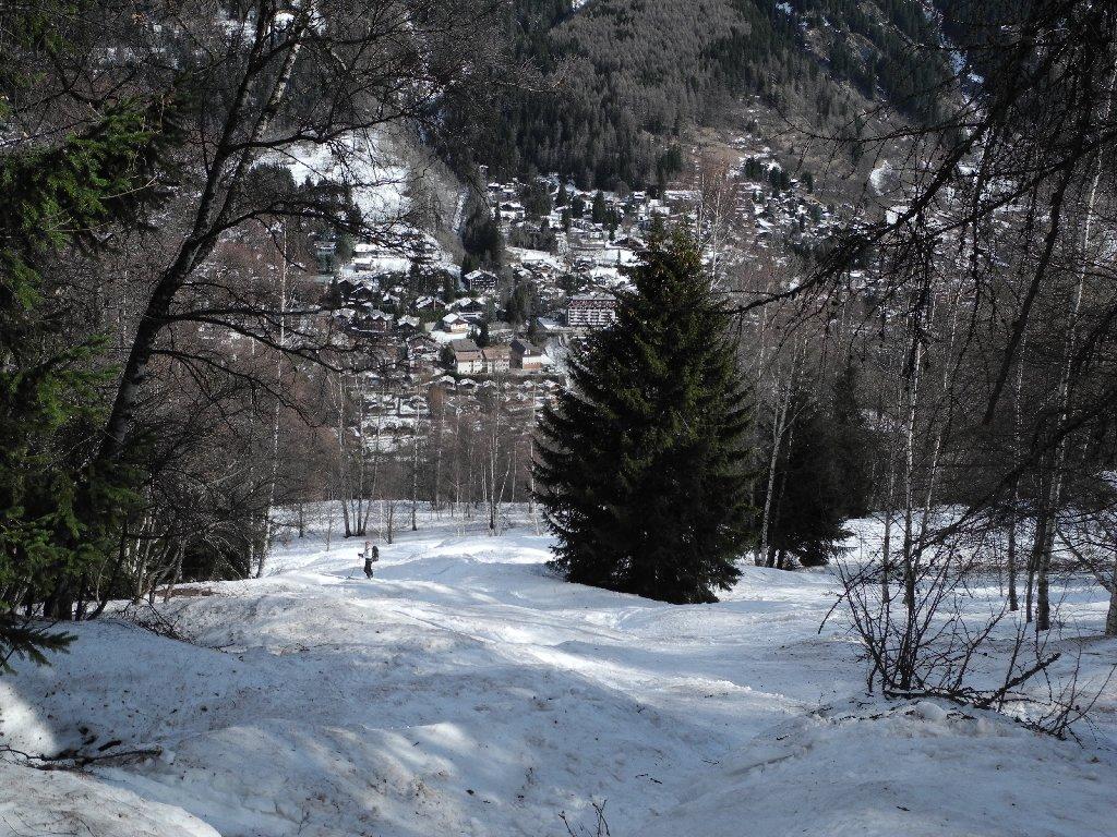
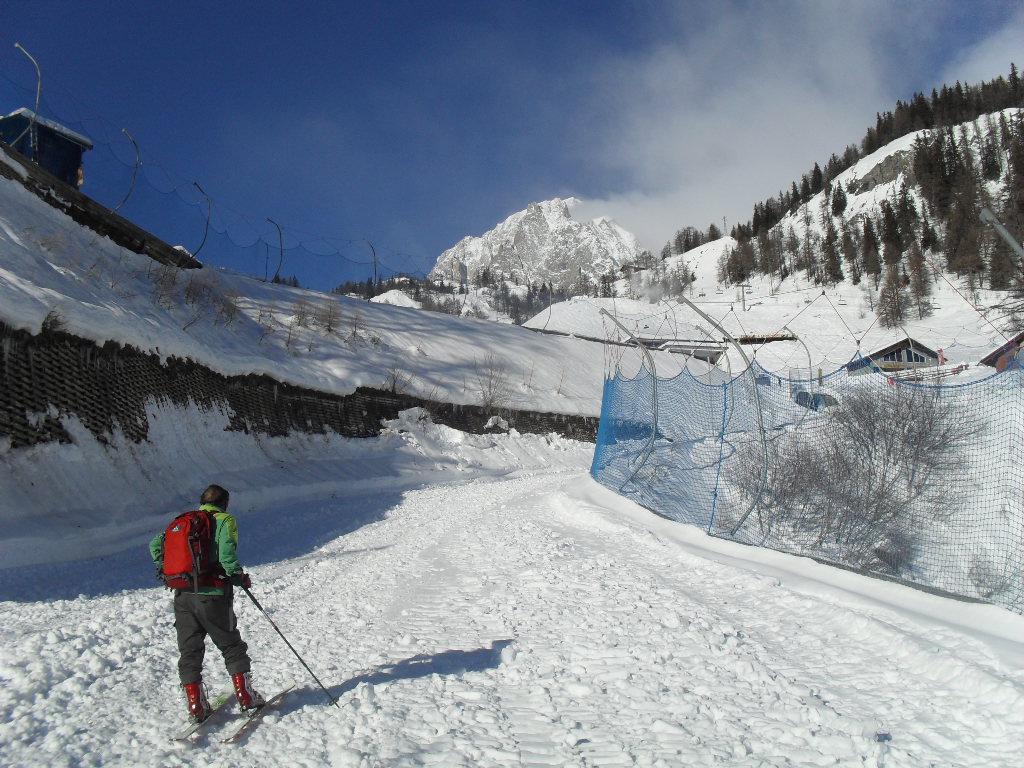
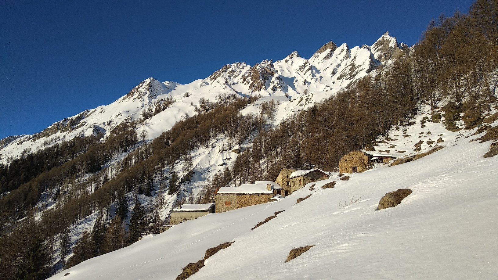
Lasciare l’auto al ponte presso la ex Fonte Vittoria al termine della frazione di Dolonne (pochi posti auto vicino al ponte), al limite lasciarla al parcheggio cento metri prima.
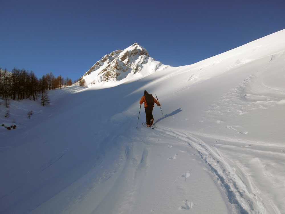
Attraversare il ponte e risalire lungo la vecchia pista da sci e una ripida strada utilizzata per lavori preliminari del tunnel dell’autostrada.. Si segue la strada per un tratto per poi seguire una zona senza alberi per un centinaio di metri di dislivello (quota 1380). A questo punto deviare completamente verso sinistra e seguire una traccia pianeggiante nel bosco sino ad uscire ad una radura (Arpettaz). Con neve abbondante questo punto è anche raggiungibile seguendo il sentiero estivo.
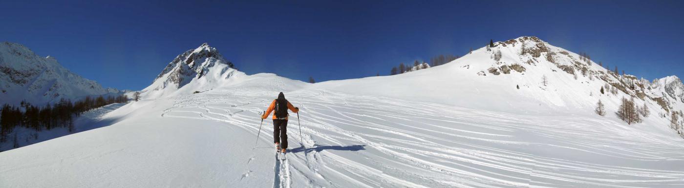
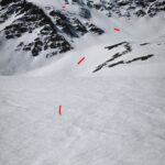
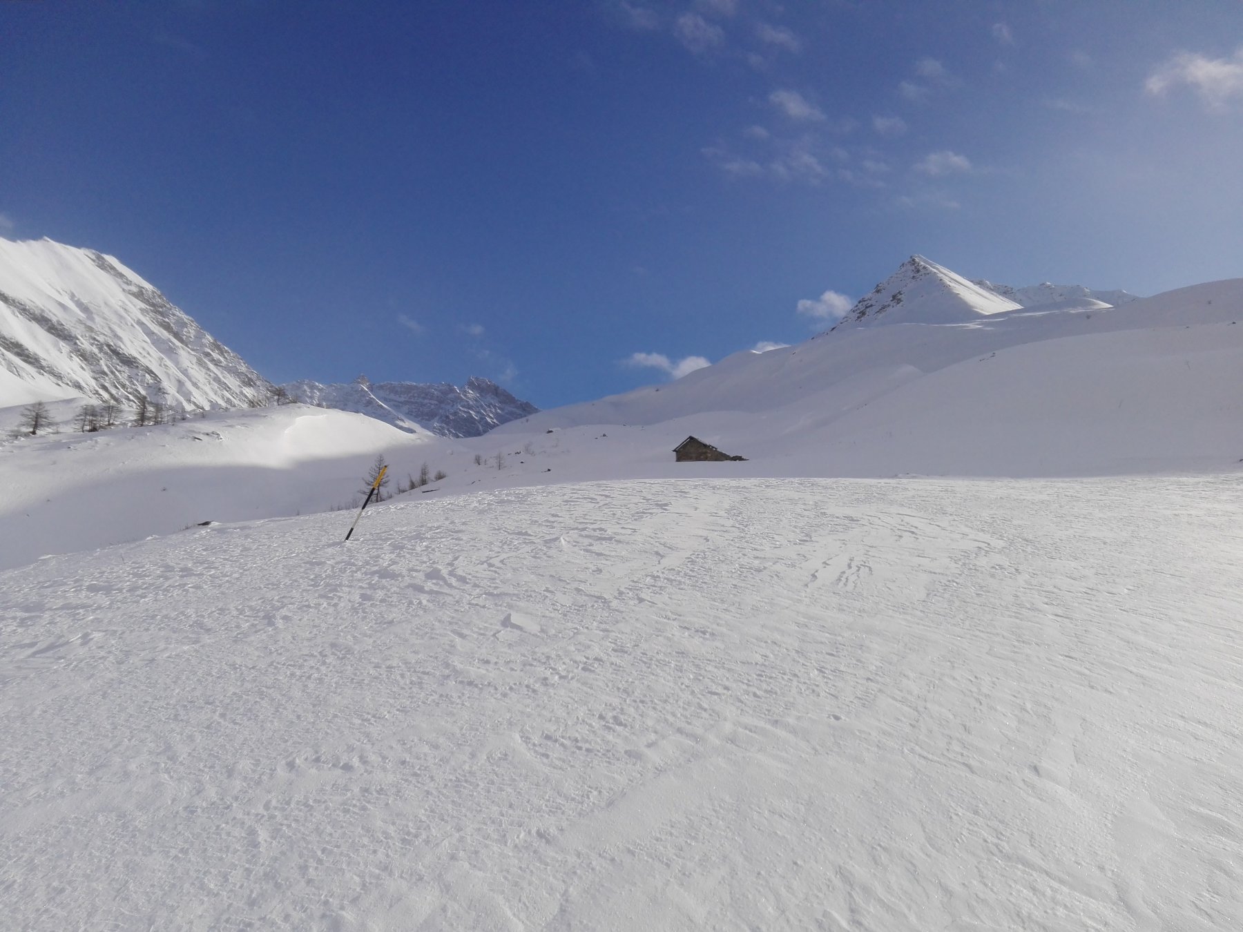
Risalire sulla destra bei pendii tra gli alberi, raggiungere una bella casa ristrutturata e continuare lungo il largo dosso. Al termine attraversare verso sinistra e raggiungere la strada poderale che sale fino alla Alpe Arp ( 2138 m). Seguirla per alcuni tornanti per poi spostarsi a sinistra e salire al centro del vallone. I pendii si aprono e diventano più dolci, proseguire nel centro del vallone lungo bei dossi sino a raggiungere con un tratto più ripido il colle.
- Cartografia:
- Escursionista - Monte Bianco 1:25000 - foglio 1
Nelle vicinanze Mappa
Itinerari
21/01/2020 AO, Courmayeur D+ 930 m BS Nord-Est
Brisé (Mont) da Dolonne, anello vallone d’Arp e canale di Dolonne
 50m
50m
05/11/2016 AO, Courmayeur D+ 1430 m MS Nord
Youla (Testa dello) da Dolonne
 50m
50m
19/03/2025 AO, Courmayeur D+ 1840 m OS Tutte
Nix (Mont) da Dolonne, anello vallone d’Arp e Val Veny
 50m
50m
23/01/2020 AO, Courmayeur D+ 1145 m BS Varie
Chetif (Mont) da Dolonne
 50m
50m
30/12/2023 AO, Courmayeur D+ 1257 m BS Sud-Ovest
Tronche (Testa della) da Villair
 2Km
2Km
30/01/2011 AO, Courmayeur D+ 1200 m BS Sud-Est
Bernarda (Testa) da Villair
 2Km
2Km
30/12/2025 AO, Courmayeur D+ 1630 m OSA Nord-Ovest
Liconi (Testa di) da Villair per la Val Sapin
 2.6Km
2.6Km
25/04/2026 AO, Courmayeur D+ 1050 m OS Varie
Chavannes (Pointe des) da Courmayeur
 3Km
3Km
13/12/2018 AO, Courmayeur D+ 725 m MS Nord
Bonatti Walter (Rifugio) da La Palud
 3.6Km
3.6Km
02/03/2024 AO, Pré-Saint-Didier D+ 1435 m BS Sud-Est
Crammont (Mont) da Elevaz
 4.9Km
4.9Km