1.5Km
1.5Km


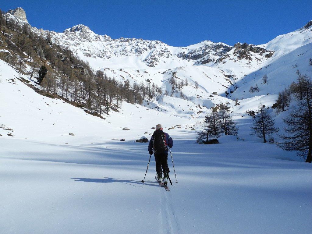
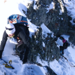
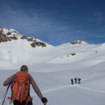
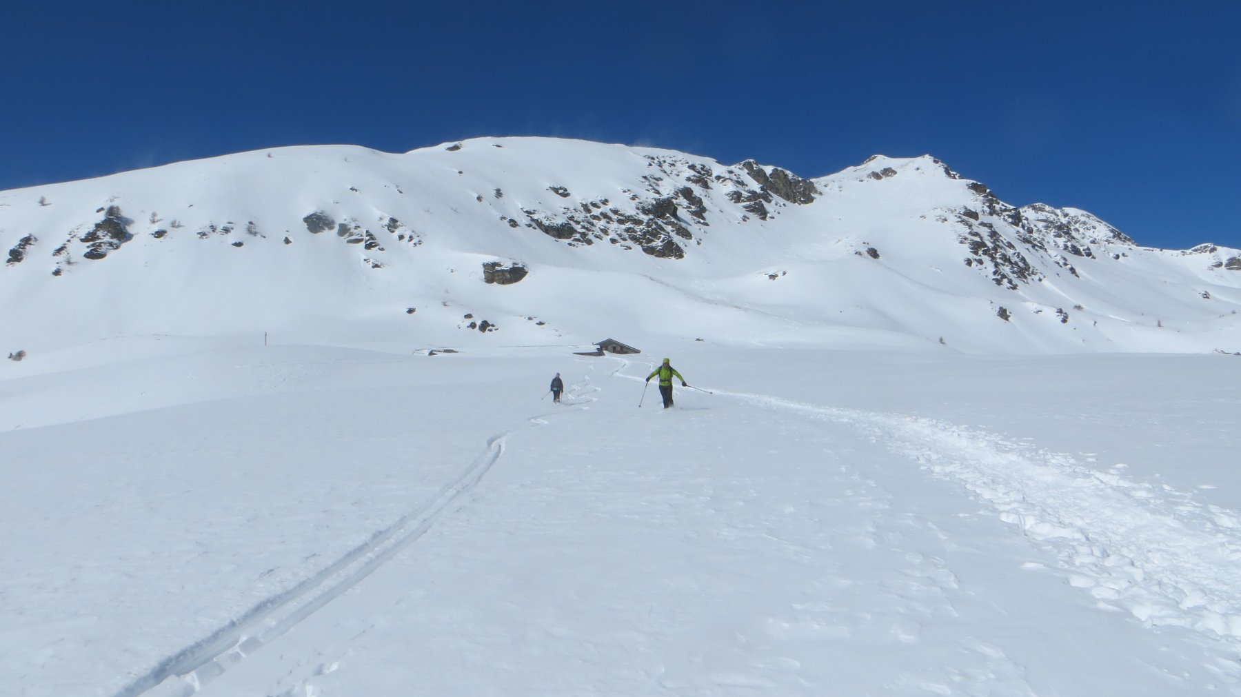
Avvicinamento
 50m
50m
50m
1.4Km
1.4Km
1.4Km
1.4Km
1.4Km
1.4Km
50m
50m
50m
1.4Km
1.4Km
1.4Km
1.4Km
1.4Km
1.4Km
1.5Km
5.1Km
6.2Km
7.1Km
7.5Km
7.5Km
8Km
8.3Km
9.1Km
9.6Km
.
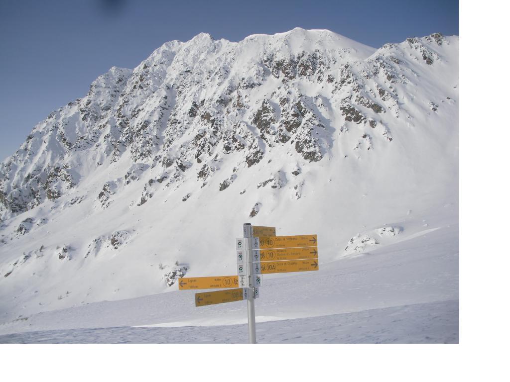
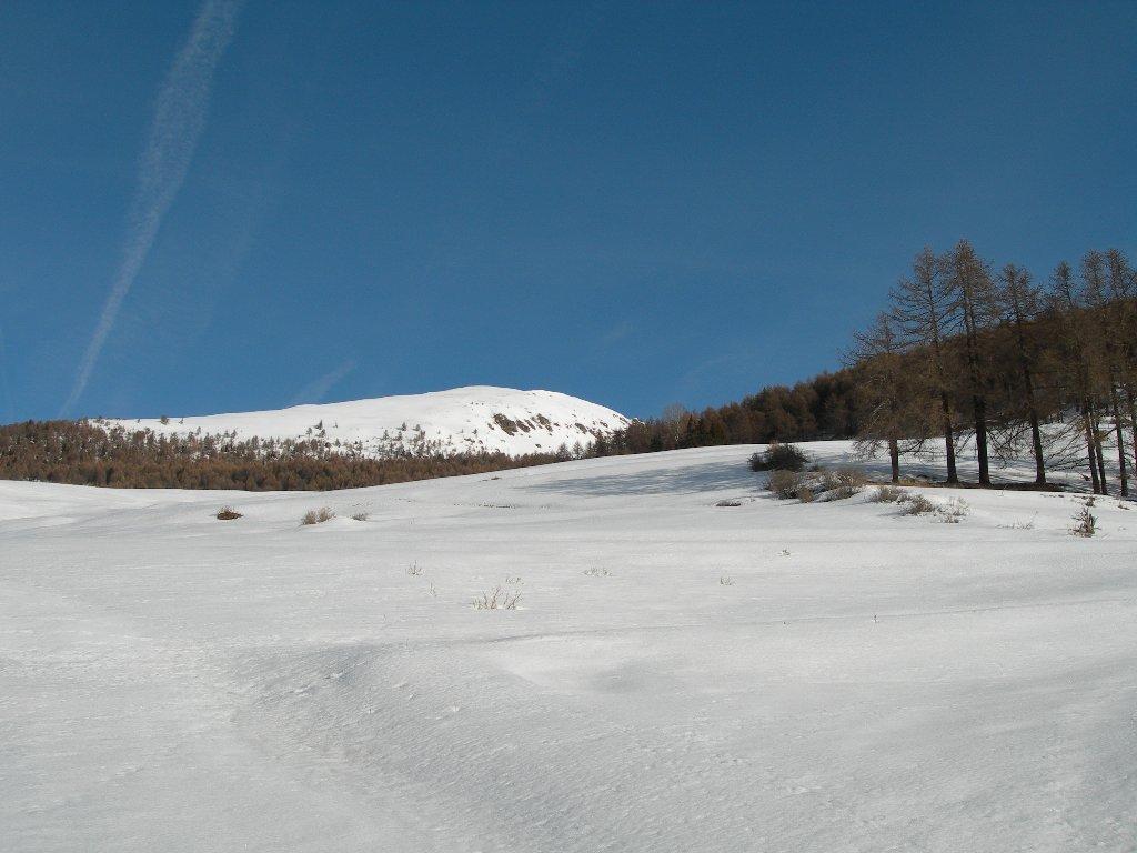
Descrizione
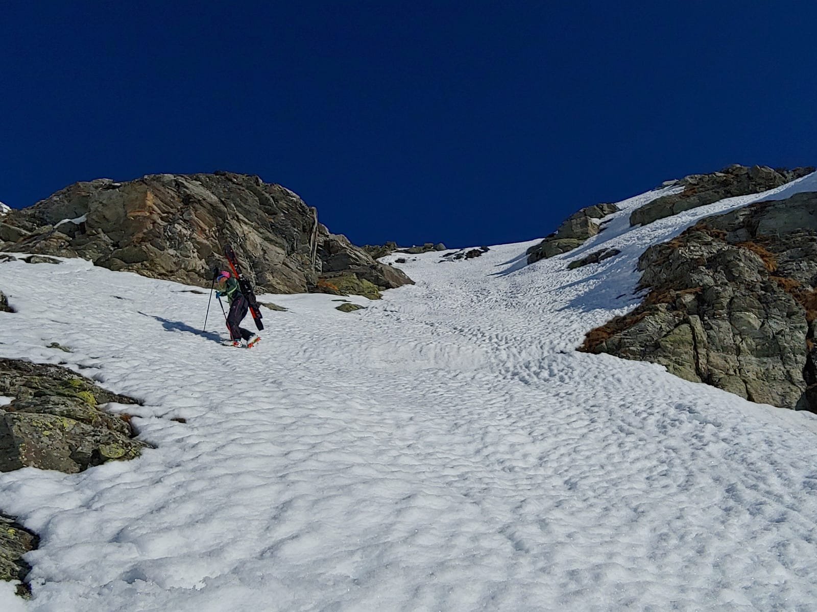
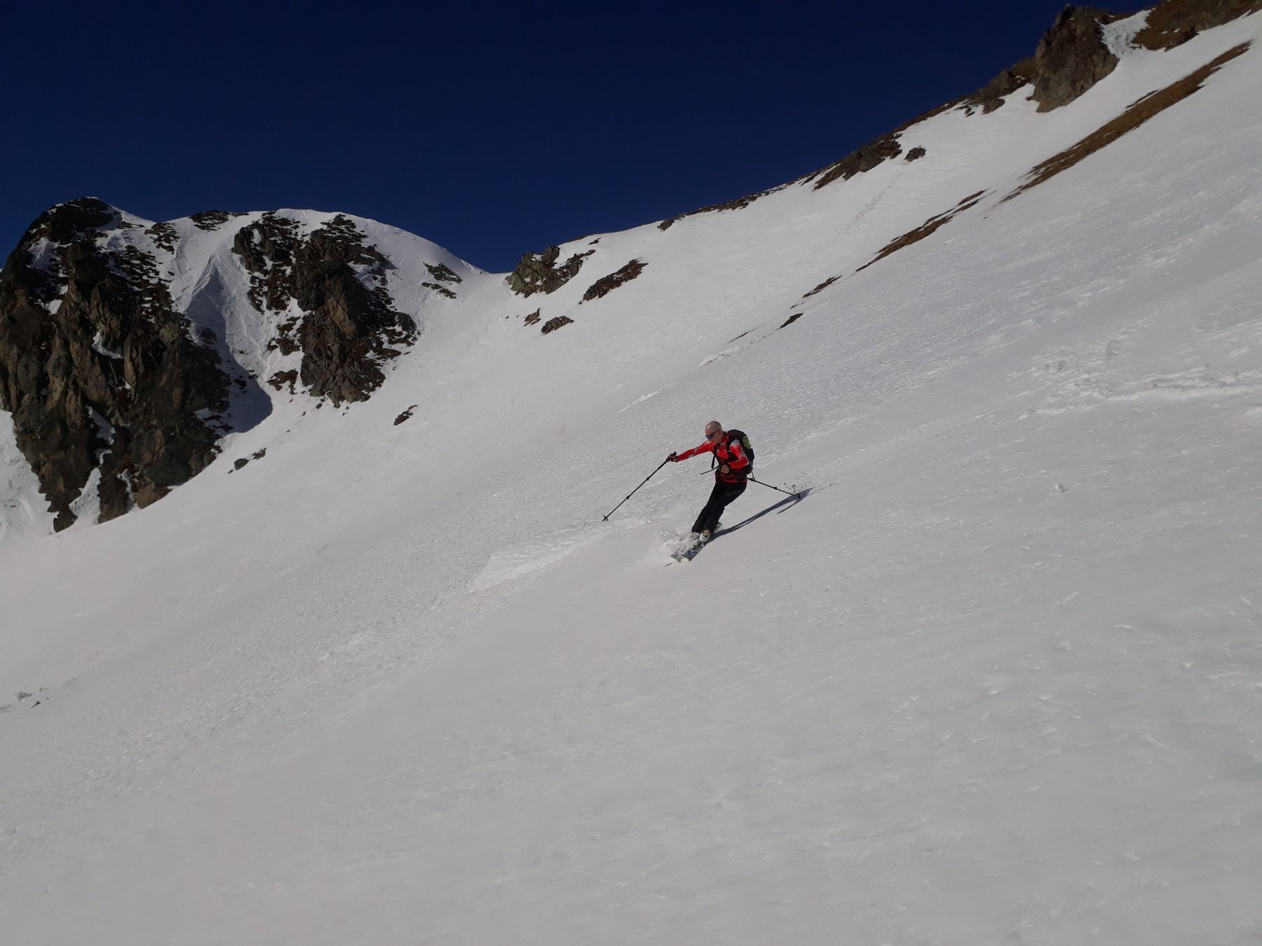
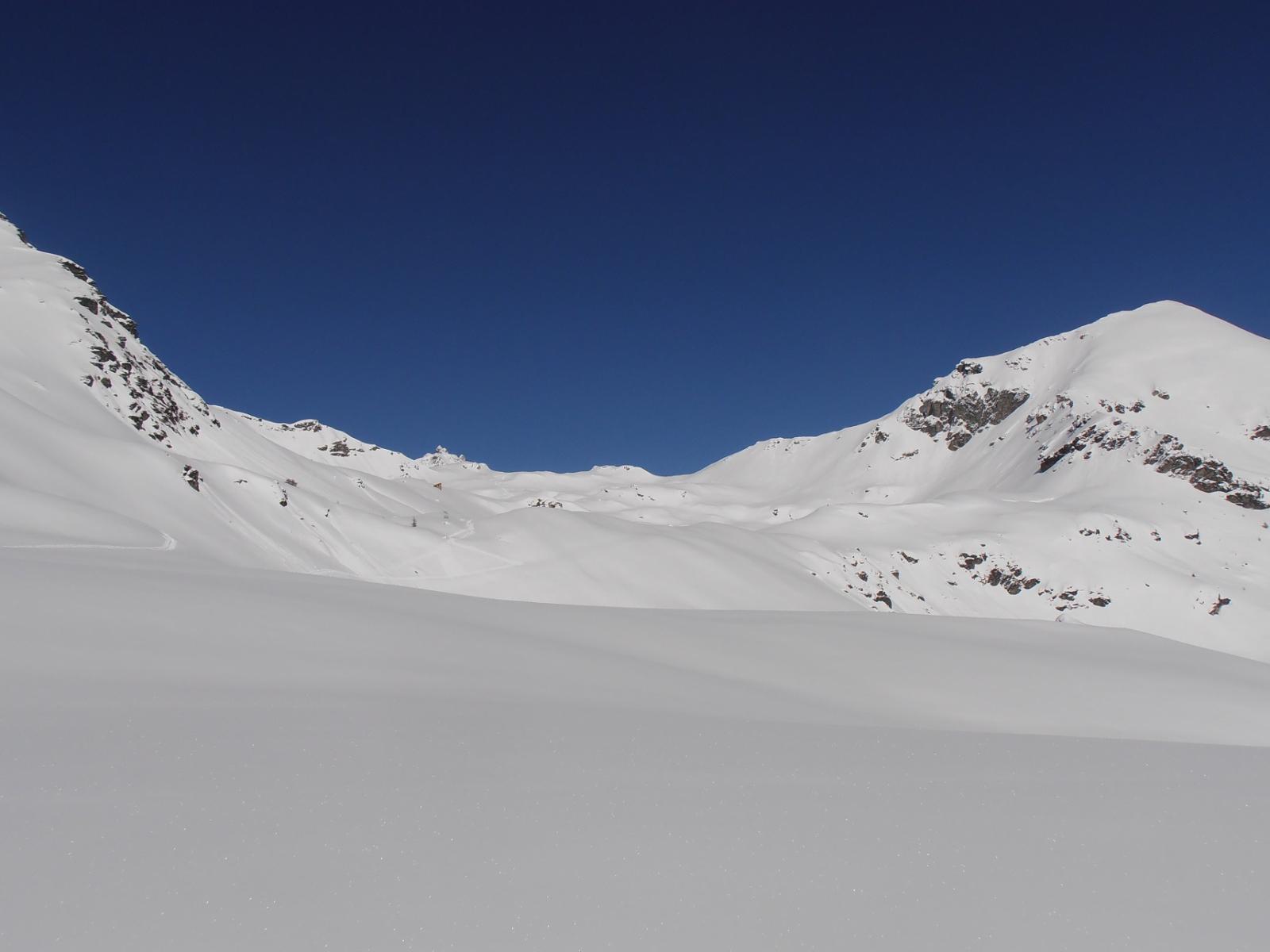
Si costeggia il torrente in direzione NO attraversandolo da verso Est intorno a quota 1700. Prima di quota 2000 si incrocia la strada e si segue in direzione NE. Uscito dal bosco si prosegue sempre in direzine NE con direzione non obbligata per canali anche ripidi. Intorno ai 2500 si entra nel vallone sotto la costa Champorcher. Si risale quest’ultima per poi giungere con bel percorso in cresta fino alla punta non quotata al disopra del colle Chaleby. Serve neve assestata
- Cartografia:
- L'escursionista 1/25.000 n° 6
Nelle vicinanze Mappa
Itinerari
16/01/2020 AO, Nus D+ 1353 m BSA Sud
Fontaney (Becca di) da Clemensod per il pendio sud
 50m
50m
11/01/2020 AO, Nus D+ 2100 m OS, F Tutte
Pisonet (Monte) da Clemensod, anello per il Col Chaleby
50m
26/01/2025 AO, Nus D+ 2250 m BS Varie
Grand Pays da Lignan, anello per i colli Vessona, Vaemà, Saint Barthelemy, Léche
 50m
50m
16/02/2025 AO, Nus D+ 1088 m BS Varie
Grand Pays da Clemensod
 50m
50m
16/02/2019 AO, Nus D+ 1338 m BSA Sud-Est
Fontaney (Becca di) da Lignan
 1.4Km
1.4Km
08/02/2026 AO, Nus D+ 934 m MS Sud
Salvè (Col du) da Lignan
 1.4Km
1.4Km
21/01/2024 AO, Nus D+ 1075 m MS, F Sud
Morion (Monte) da Lignan
 1.4Km
1.4Km
20/03/2026 AO, Nus D+ 1060 m MS Sud
Chaleby (Col) quota 2695 m da Lignan
 1.4Km
1.4Km
12/03/2026 AO, Nus D+ 1035 m BS Sud
Champorcher (Costa) quota 2670 m da Lignan
 1.4Km
1.4Km
18/03/2010 AO, Nus D+ 962 m BS Sud
Champorcher (Costa) quota 2597 da Lignan
 1.4Km
1.4Km
Servizi
1.5Km
5.1Km
Favre Ristorante
Nus
6.2Km
Maison Rosset Rifugio
Nus
7.1Km
Maison Tersiva B&B
Nus
7.5Km
Chez Gaillard B&B
Fenis
7.5Km
Lou Tourbiillet B&B
Saint-Marcel
8Km
Tse fine e Marcel B&B
Verrayes
8.3Km
Blanche Neige Bar
Verrayes
9.1Km
Mathamel Giorgio B&B
Verrayes
9.6Km