 4.9Km
4.9Km

Note
Storico
 100m
100m
1.5Km
1.5Km
1.8Km
1.8Km
1.9Km
1.9Km
1.9Km
1.9Km
100m
100m
1.5Km
1.5Km
1.8Km
1.8Km
1.9Km
1.9Km
1.9Km
1.9Km
TD/TD+
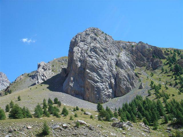
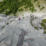
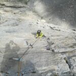
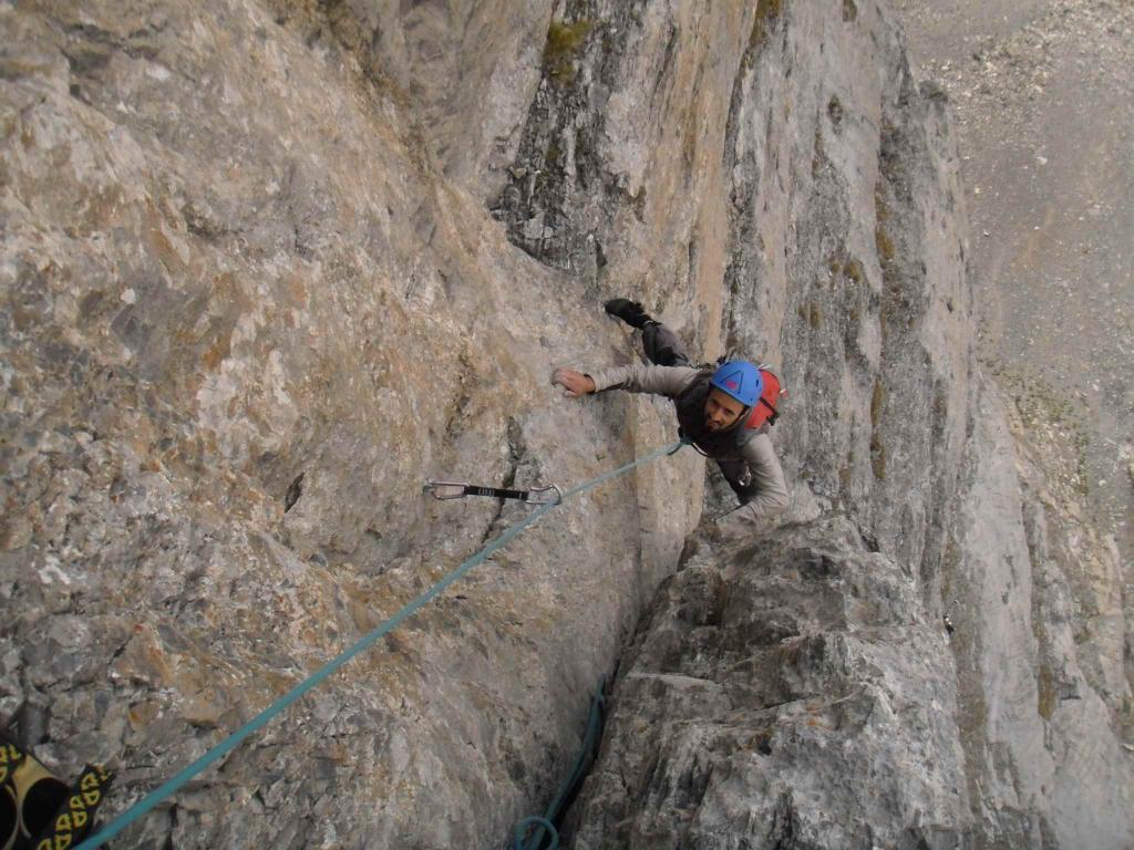
Via ben attrezzata a spit. Portare 8 rinvii, utili friends micro e piccoli.
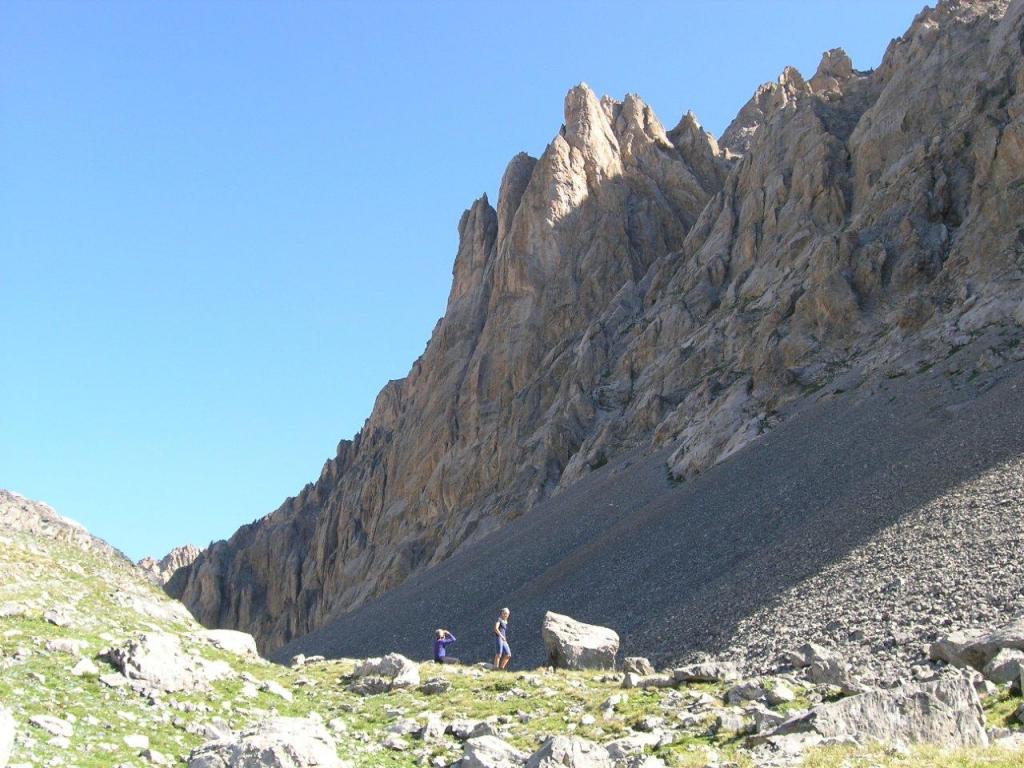
Avvicinamento
Via ben attrezzata a spit. Portare 8 rinvii, utili friends micro e piccoli.
.
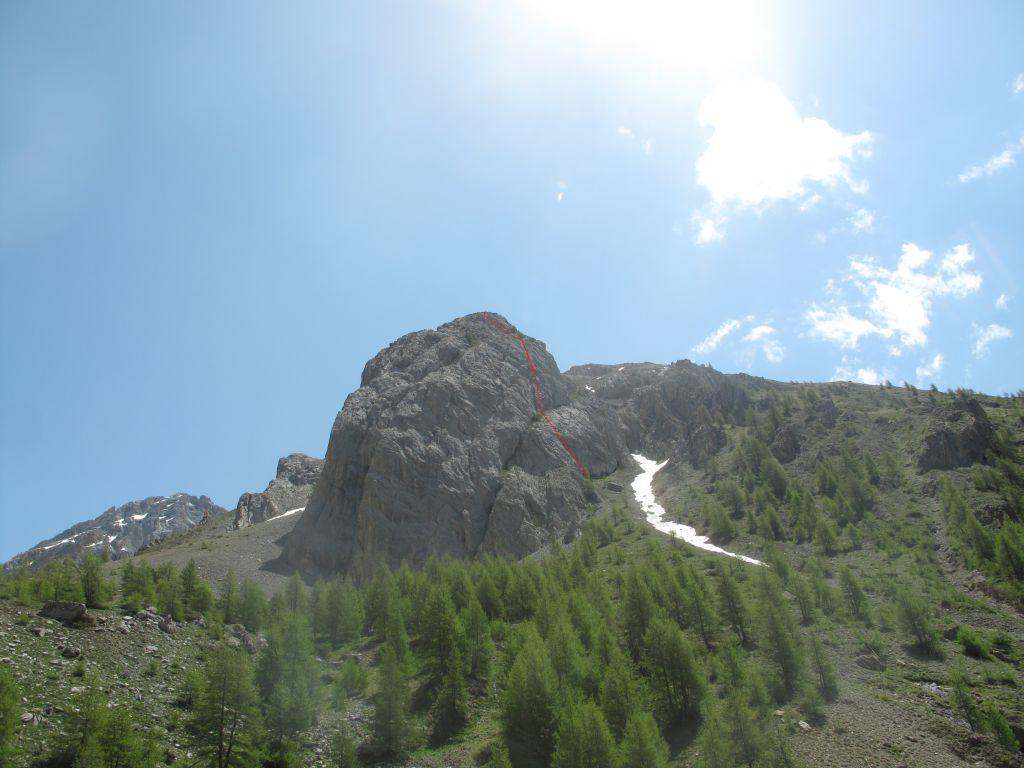
Descrizione
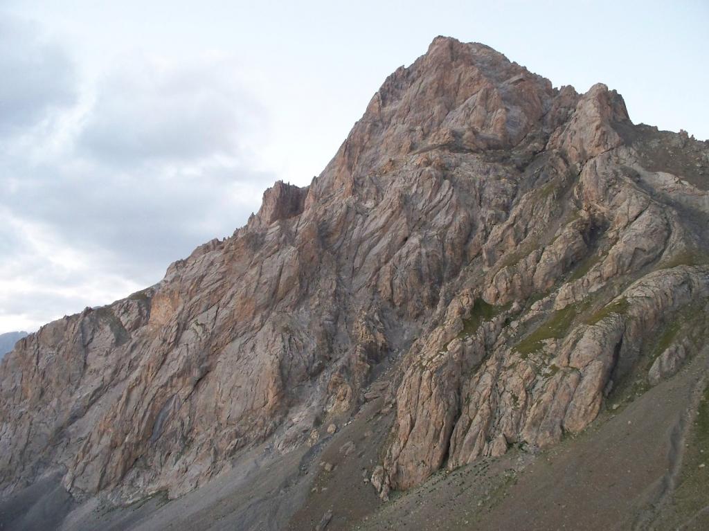
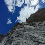
La via parte sullo sperone centrale. Da li partono 2 vie a poca distanza l’una dall’altra, il pavon è quella più a sinistra guardando la parete.
Discesa in doppia, dalla sosta n.3 calarsi sulla verticale reperendo le soste attrezzate della via a fianco.
G. Peluffo, F. Vivalda 15-06-2003
- Bibliografia:
- Stura-Ubaye
Nelle vicinanze Mappa
Itinerari
12/06/2025 Alpes-de-Haute-Provence, Val-d'Oronaye 6c, 6a+ obbl. Sud-Ovest
Meyna (Sommet de la) – Fatalmeyna
 100m
100m
05/07/2017 Alpes-de-Haute-Provence, Val-d'Oronaye 7a, 6b obbl. Sud-Ovest
Meyna (Sommet de la) – Meyna Forever Wall
 100m
100m
03/08/2024 Alpes-de-Haute-Provence, Val-d'Oronaye 6b, 6a obbl. Sud-Ovest
Vallonet (Aiguille du) – Flying Machine
 1.5Km
1.5Km
09/06/2007 Alpes-de-Haute-Provence, Val-d'Oronaye 6b, 6a obbl. Ovest
Piroulire (Rocher du) – Dernier Cadeaux
 1.5Km
1.5Km
25/08/2019 Alpes-de-Haute-Provence, Val-d'Oronaye 6a+, 6a obbl. Ovest
Piroulire (Rocher du) – Jean Fajan
 1.8Km
1.8Km
31/08/2024 Alpes-de-Haute-Provence, Val-d'Oronaye 6b, 6a obbl. Ovest
Piroulire (Rocher du) – Oblio
 1.8Km
1.8Km
01/07/2017 Alpes-de-Haute-Provence, Val-d'Oronaye 5b, 5a obbl. Sud-Ovest
Piroulire (Rocher du), parete SO – Rave Party
 1.9Km
1.9Km
02/08/2024 Alpes-de-Haute-Provence, Val-d'Oronaye 6c, 6a+ obbl. Sud-Ovest
Vallonet (Aiguille du) – Trou de Memoire + Corvo Nero non Avrai il mio Scalpo
 1.9Km
1.9Km
15/07/2017 Alpes-de-Haute-Provence, Val-d'Oronaye 6c, 6a+ obbl. Sud-Ovest
Vallonet (Aiguille du) – Squadrone Avvoltoi
 1.9Km
1.9Km
28/07/2012 Alpes-de-Haute-Provence, Val-d'Oronaye 6b+, 6a+ obbl. Sud-Ovest
Vallonasso (Aiguilles du) – Belin
 1.9Km
1.9Km
