3.8Km
3.8Km

Descrizione
 50m
50m
3Km
3Km
3.7Km
3.7Km
3.7Km
4Km
4Km
4Km
50m
50m
3Km
3Km
3.7Km
3.7Km
3.7Km
4Km
4Km
4Km
3.8Km
4Km
4.1Km
4.2Km
4.2Km
4.5Km
5.5Km
5.5Km
5.5Km
5.6Km
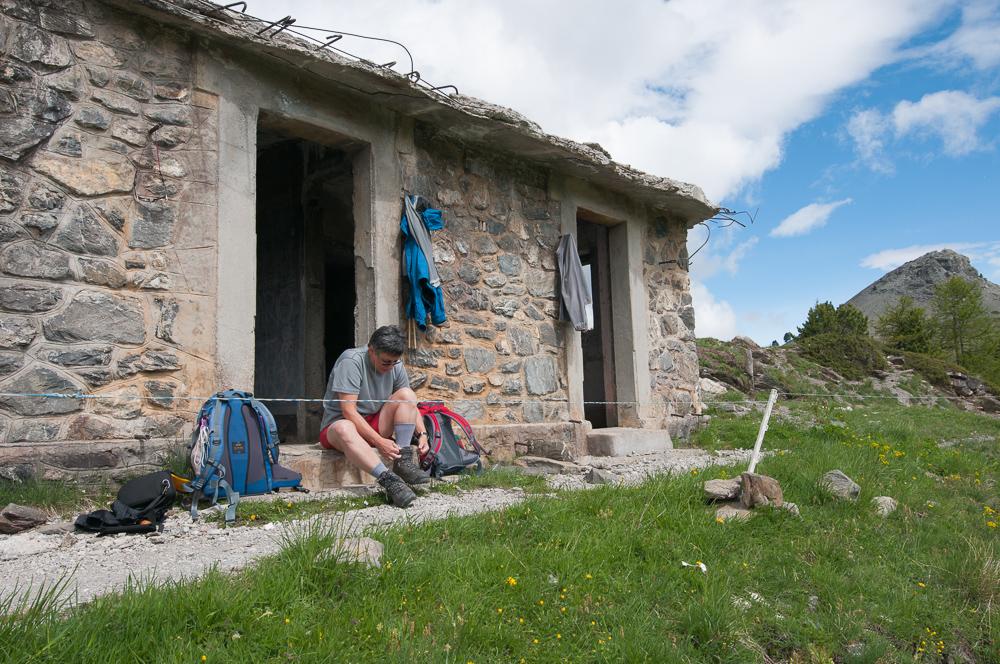
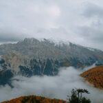
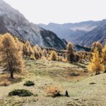
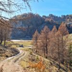
Dal Lago Nero, si attraversa il ponte e si sale per i prati alla sinistra del lago, ritrovando la strada militare in molti tratti ridotta a sentiero.
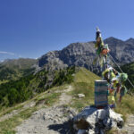
La si segue con possibilità di tagliare i tornanti fino a raggiungere il colle. Di qui a sinistra in breve si raggiunge la cima del Monte Begino, seguendo tracce di sentiero che si mantengono nei pressi del crestone.
E’ possibile continuare in cresta verso la vicina Cima Fournier, e poi scendere sul versante opposto e quindi tornare al Lago Nero compiendo un anello molto facile e non lungo.
- Cartografia:
- Fraternali 1:25.000 n. 2 Alta Valle di Susa e Alta Val Chisone
Nelle vicinanze Mappa
Itinerari
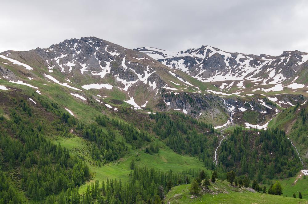
04/07/2025 TO, Cesana Torinese D+ 700 m E Sud-Est
Gimont (Mont) o Grand Charvia dal Lago Nero
 50m
50m
07/10/2010 TO, Cesana Torinese D+ 800 m E Varie
Giassiez (Monte) o Giaissez dal Lago Nero e il Colle Begino
 50m
50m
16/08/2018 TO, Cesana Torinese D+ 650 m E Nord
Giassiez (Monte) o Giaissez da Sagnalonga
 3Km
3Km
13/07/2018 TO, Cesana Torinese D+ 500 m E Varie
Gimont (Mont) o Grand Charvia da Sagnalonga per il Lago dei Sette Colori
 3Km
3Km
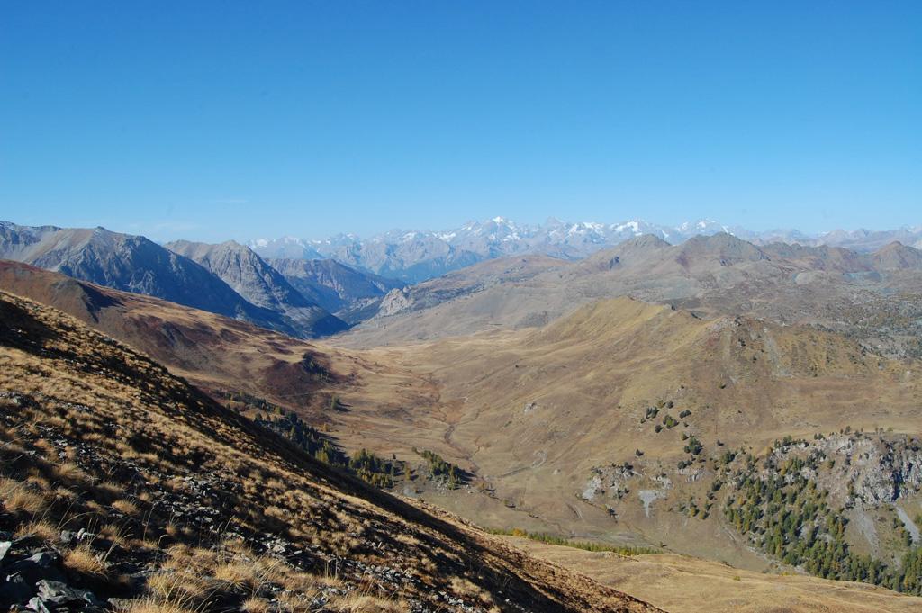
30/10/2023 TO, Cesana Torinese D+ 1000 m E Varie
Corbioun (Monte) da Thures, anello per il Colle Begino e Rhuilles
 3.7Km
3.7Km
11/09/2023 TO, Cesana Torinese D+ 1200 m EE/F Varie
Furgon (Monte) da Thures
 3.7Km
3.7Km
04/10/2025 TO, Cesana Torinese D+ 711 m E Ovest
Bosco (Cima del) da Thures
 3.7Km
3.7Km
22/07/2025 TO, Cesana Torinese D+ 1200 m E Varie
Fournier (Cima) da Bousson, anello per Monte Corbioun, Colle Begino, Col Bousson, Lago Nero
 4Km
4Km
20/02/2022 TO, Cesana Torinese D+ 353 m T Nord-Est
Cava del Marmo Verde da Bousson
 4Km
4Km
05/08/2025 TO, Cesana Torinese D+ 1000 m E Varie
Corbioun (Monte) da Bousson
 4Km
4Km
Servizi
3.8Km
4Km
Baita Gimont Rifugio
Claviere
4.1Km
La Crota B&B
Cesana Torinese
4.2Km
da Carlo Rifugio
Cesana Torinese
4.2Km
La Tana degli Orsi B&B
Cesana Torinese
4.5Km
Centro Ristorante
Cesana Torinese
5.5Km
Casa Cesana Bar
Cesana Torinese
5.5Km
L’Ibarus Rifugio
Cesana Torinese
5.5Km
Piergiorgio Frassati B&B
Cesana Torinese
5.6Km