 4Km
4Km

Note
 1.6Km
1.6Km
2.3Km
2.3Km
2.3Km
2.4Km
6.6Km
6.6Km
6.6Km
1.6Km
1.6Km
2.3Km
2.3Km
2.3Km
2.4Km
6.6Km
6.6Km
6.6Km
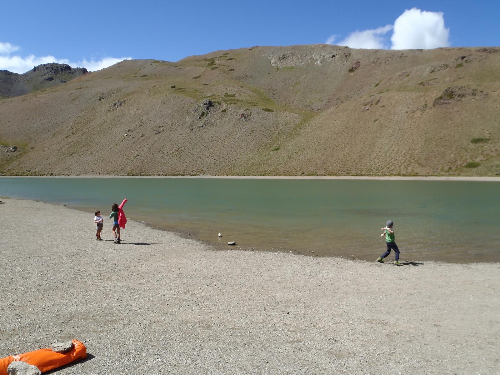
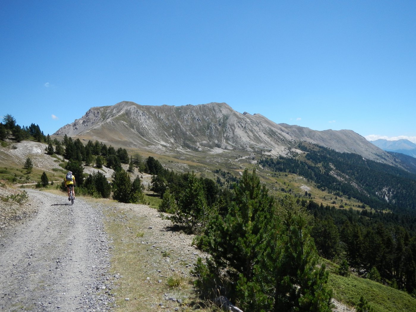
Dalla Bergeria al colle, il sentiero/traccia è difficilmente pedalabile (circa 60/70%) in quanto a volte è un solco profondo nell'erba largo appena 30cm..
La discesa lungo le piste è molto ripida e necessita controllo e un mezzo adeguato
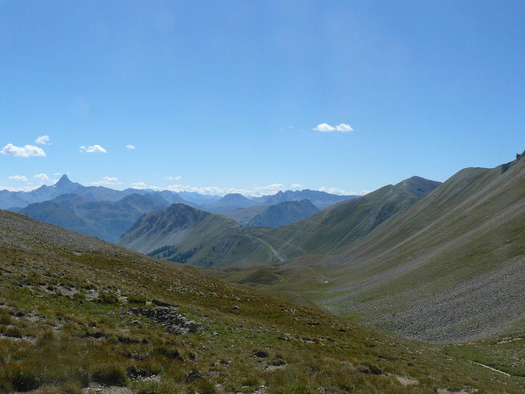
Avvicinamento
La discesa lungo le piste è molto ripida e necessita controllo e un mezzo adeguato
.
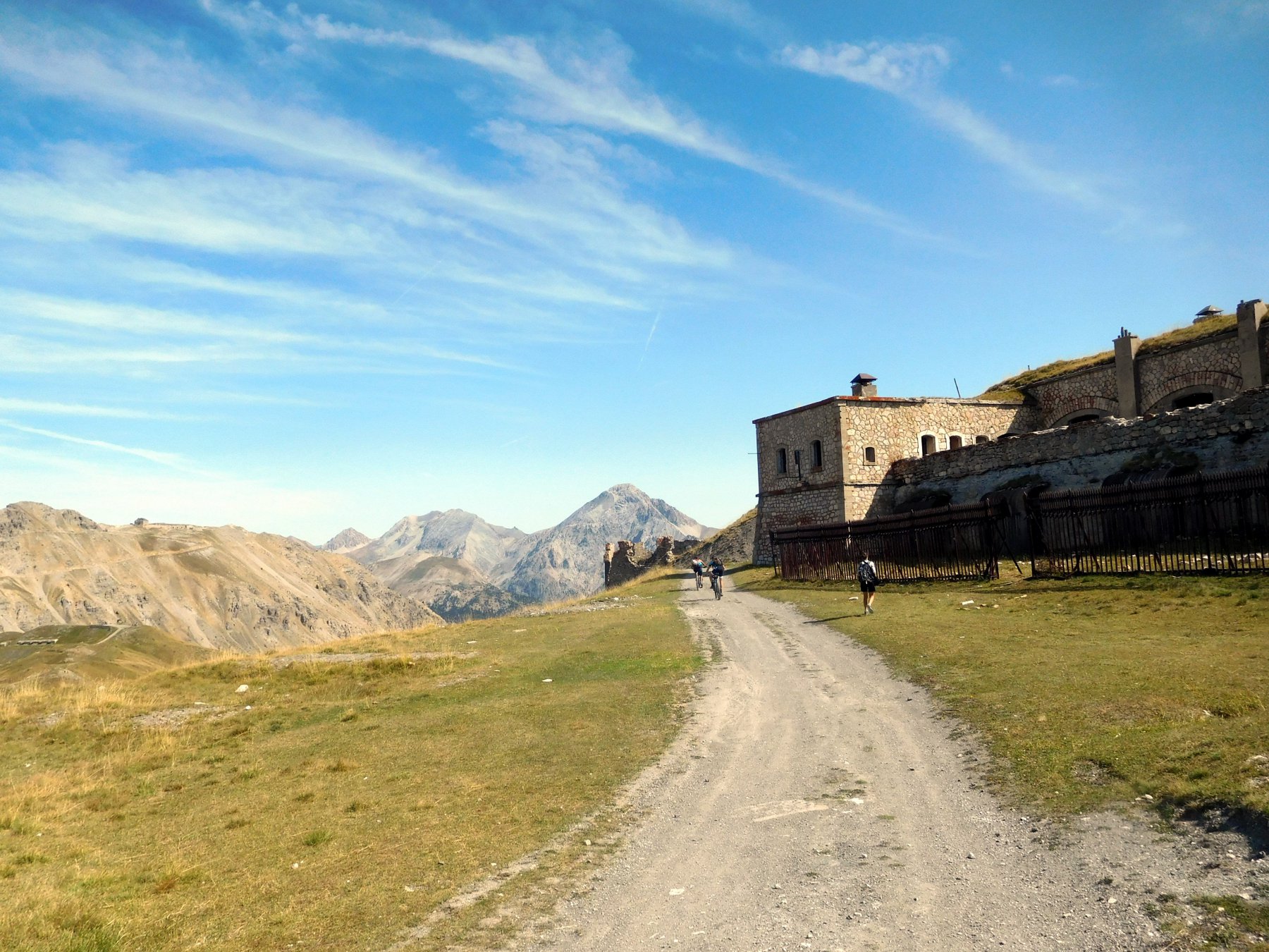
Descrizione
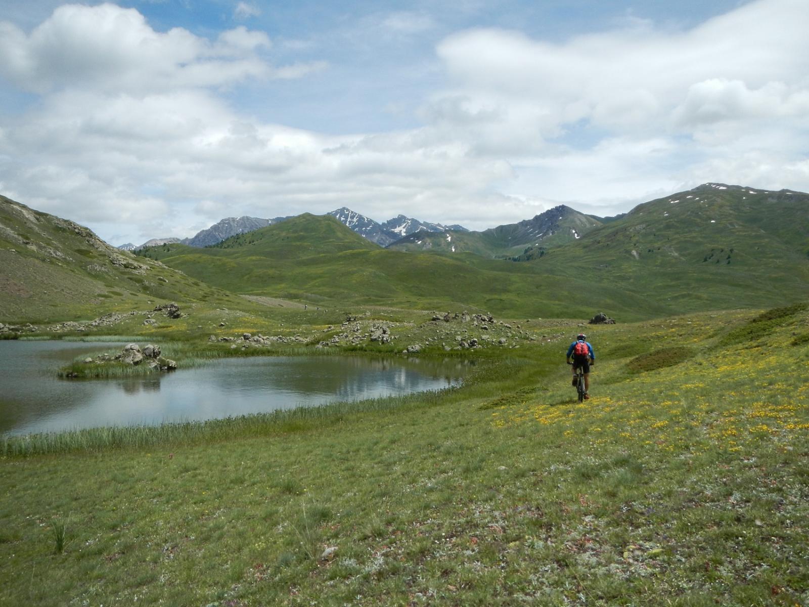
Salire verso il Village du Soleil e imboccare la comoda sterrata che conduce fino alla bergeria.
Prendere a sx per ripido sentiero ghiaioso (non pedalabile) e seguire sempre il sentierino che conduce verso il fondo del vallone (indicazioni prima “per Nevache” poi “Clot du Fonds” e infine “Col Trois Frères Mineurs”. (720mt dislivello)
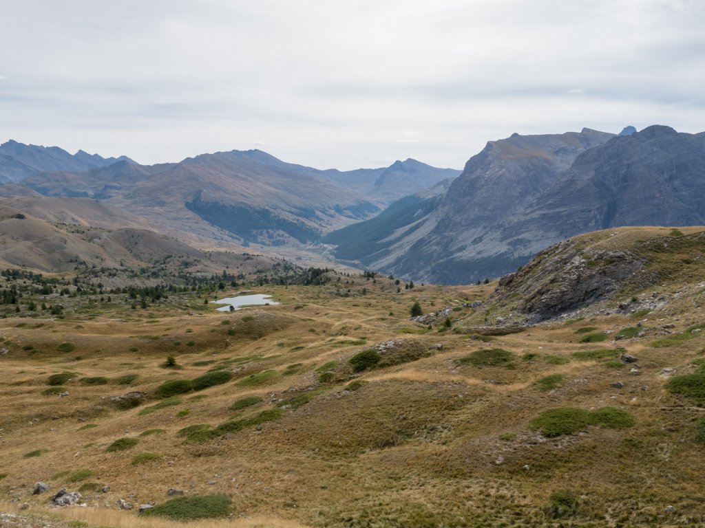
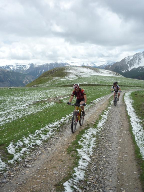
Discesa per lo stesso itinerario fino alla larga pista ausiliaria sulla dx che conduce al Col de l’Alpet (seggiovia). Risalirla faticosamente (altri 180mt di dislivello) e scendere nel Vallon de l’Alpet per le ripide piste da discesa
- Cartografia:
- IGN 3536 OT
Nelle vicinanze Mappa
Itinerari
20/08/2017 Hautes-Alpes, Montgenèvre D+ 1025 m BC, BC, S2 Varie
Anges (Sommet des), Fort du Gondran da Montgenevre, giro per il Lago Gignoux, Colletto Verde e la valle dei Mandarini
 1.6Km
1.6Km
16/10/2025 Hautes-Alpes, Montgenèvre D+ 1030 m MC, BC, S1 Varie
Janus (Fort du) da Montgenevre, giro per Fort Gondran il Lago Gignoux o dei Sette Colori
 1.6Km
1.6Km
15/07/2023 TO, Claviere D+ 826 m BC, OC, S2 Varie
Verde (Colletto) da Claviere, giro per il Lago Gignoux
 2.3Km
2.3Km
04/10/2004 TO, Claviere D+ 2250 m BC, BC, S1 Varie
Frejus (Colle del) da Claviere a Bardonecchia per Colle della Scala e Colle di Valle Stretta
2.3Km
08/08/2015 TO, Claviere D+ 1800 m MC+, BC, S1 Varie
Infernet, Janus, Gondran (Forti) da Claviere, giro per il Lago Gignoux o dei Sette Colori
 2.3Km
2.3Km
10/10/2025 TO, Claviere D+ 900 m BC, BC, S1 Varie
Gignoux o dei Sette Colori, Rouseau, Noir, Sous Bousson (Laghi) da Claviere, giro
 2.3Km
2.3Km
06/06/2025 TO, Claviere D+ 1242 m BC, BC, S1 Varie
Gimont (Mont) o Grand Charvia da Claviere
 2.4Km
2.4Km
17/10/2020 Hautes-Alpes, Val-des-Prés D+ 1100 m BC, OC, S2 Sud-Ovest
Lenlon (Fort de) da Val des Prés, giro per il Fort de l’Olive
 6.6Km
6.6Km
15/06/2025 Hautes-Alpes, Val-des-Prés D+ 1300 m MC+, BC, S3 Tutte
Buffère (Col de) da Val des Pres, giro per il Col du Granon e Nevache
 6.6Km
6.6Km
05/07/2025 Hautes-Alpes, Val-des-Prés D+ 1300 m MC, BC+, S1 Est
Lenlon (Fort de) e Col du Granon da la Vachette, giro per il Fort de l’Olive e la Croix de Toulouse
 6.6Km
6.6Km
