250m
250m


Note
 50m
50m
3.7Km
3.7Km
3.7Km
3.7Km
3.7Km
3.7Km
3.7Km
4.8Km
50m
50m
3.7Km
3.7Km
3.7Km
3.7Km
3.7Km
3.7Km
3.7Km
4.8Km
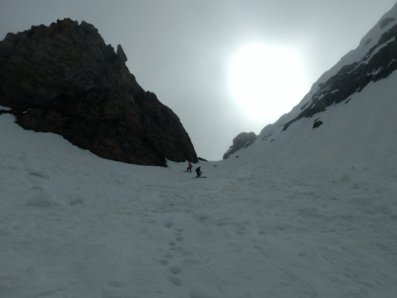
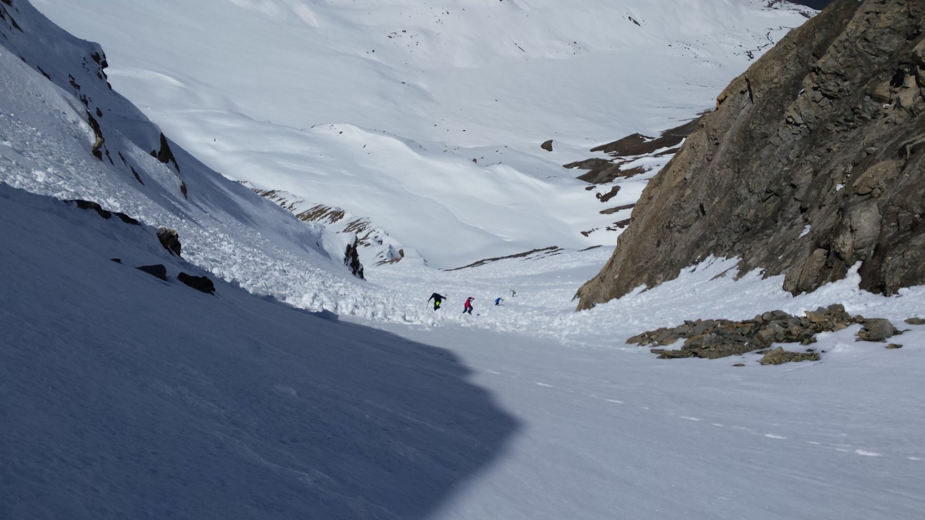
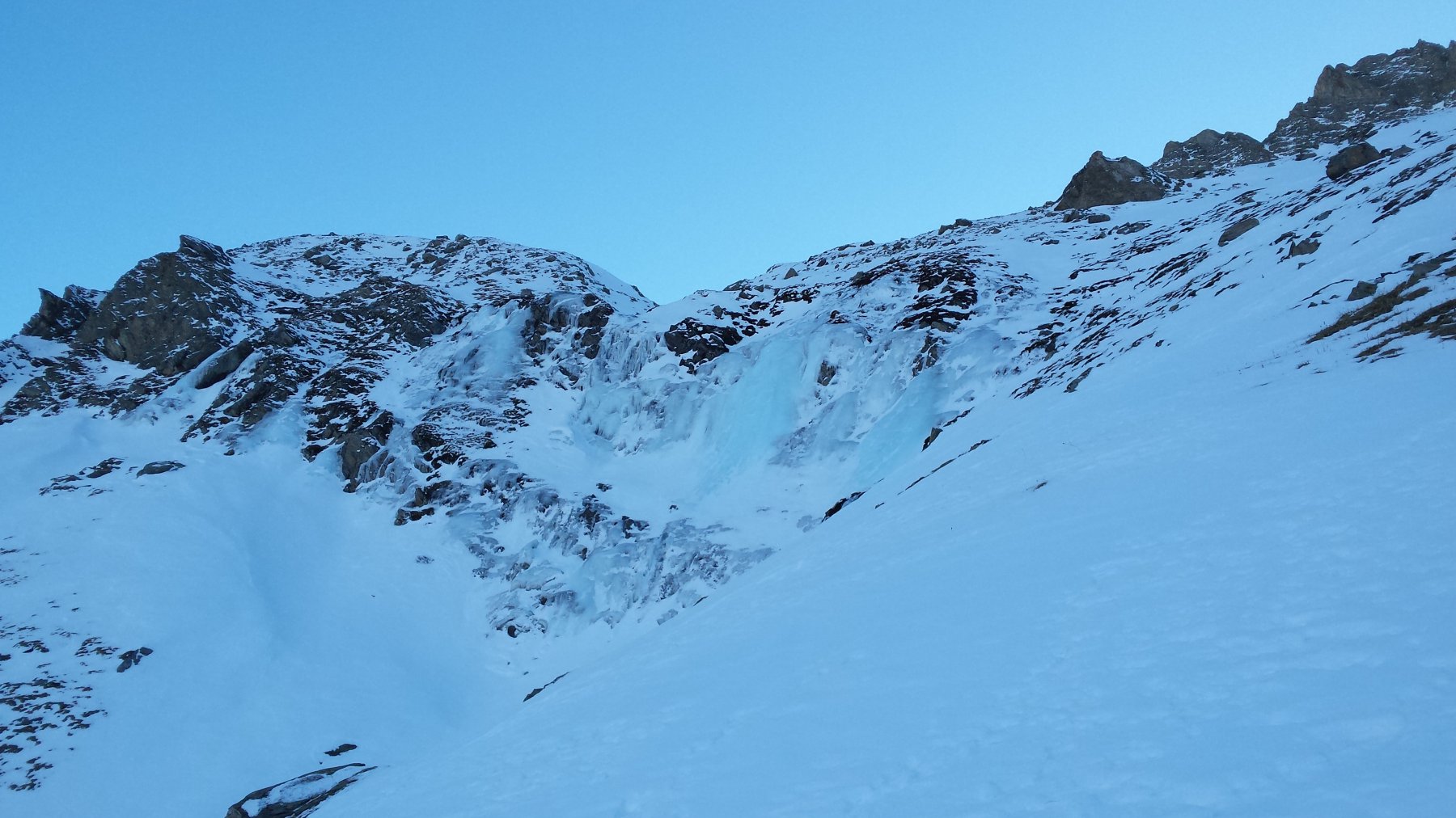
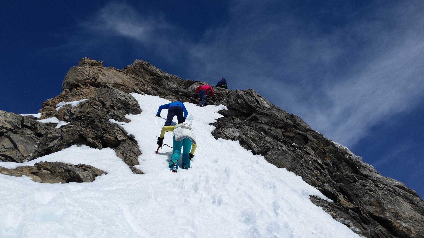
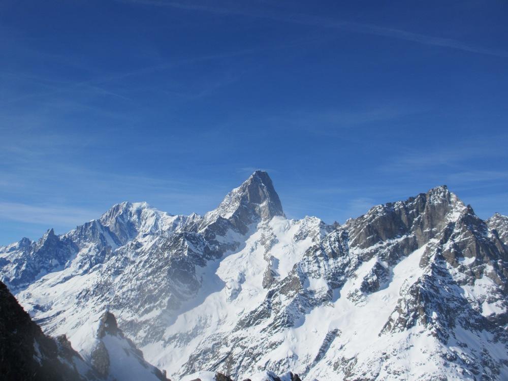
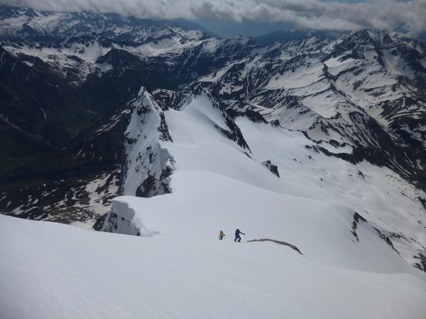
Bell’itinerario, che nella parte finale si svolge su terreno ripido e impegnativo; gran panorama sul Monte Bianco e le Grandes Jorasses. Ramponi consigliati.
Esposizione Sud-Ovest la parte alta (più impegnativa), Nord-Ovest la parte bassa e intermadia.
Avvicinamento
Esposizione Sud-Ovest la parte alta (più impegnativa), Nord-Ovest la parte bassa e intermadia.
Aosta-Courmayeur-Entreves-Entreves-Planpincieux-Lavachey(se la strada è aperta).
Descrizione
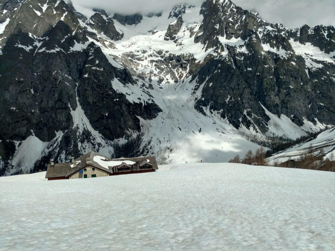
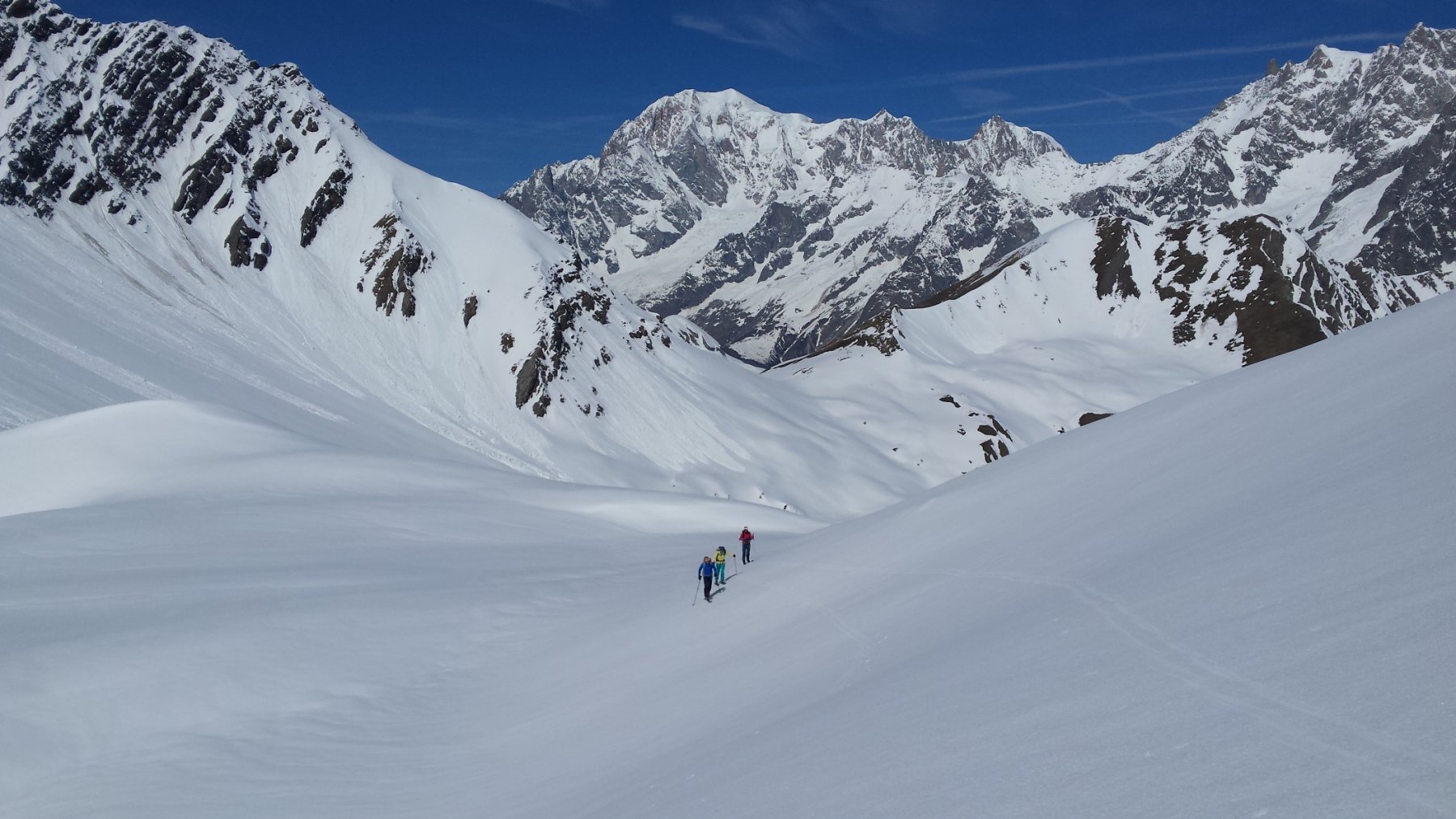
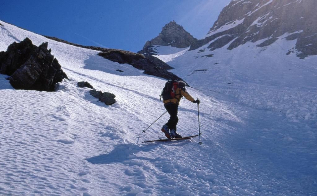
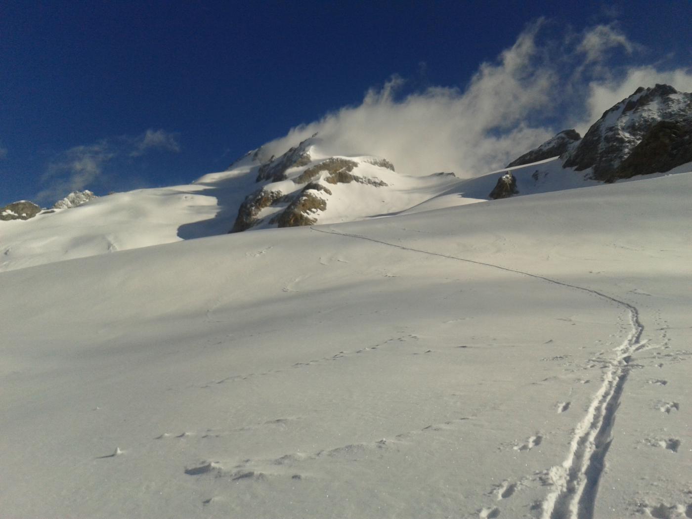
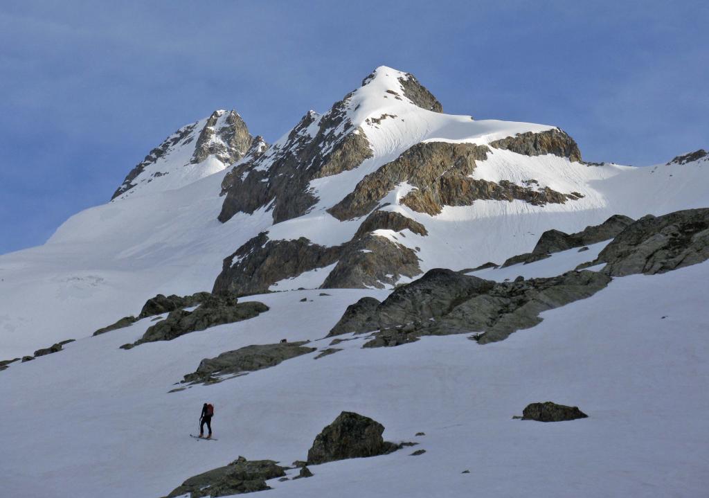
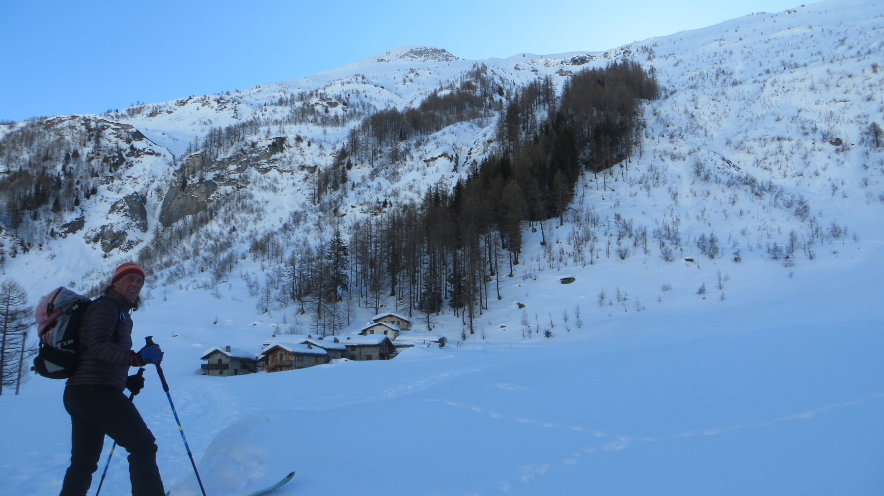
Da Planpinciex si raggiunge Lavachey per poi, svoltando a destra, risalire, passando vicino al Rifugio Walter Bonatti, situato a 2025 m., il lungo Vallone di Malatrà
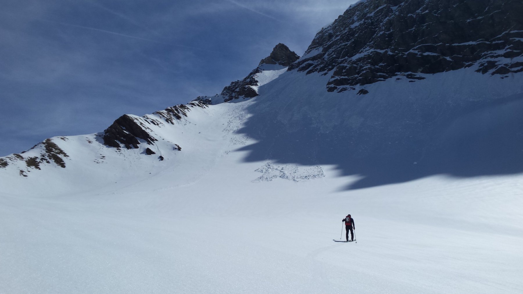
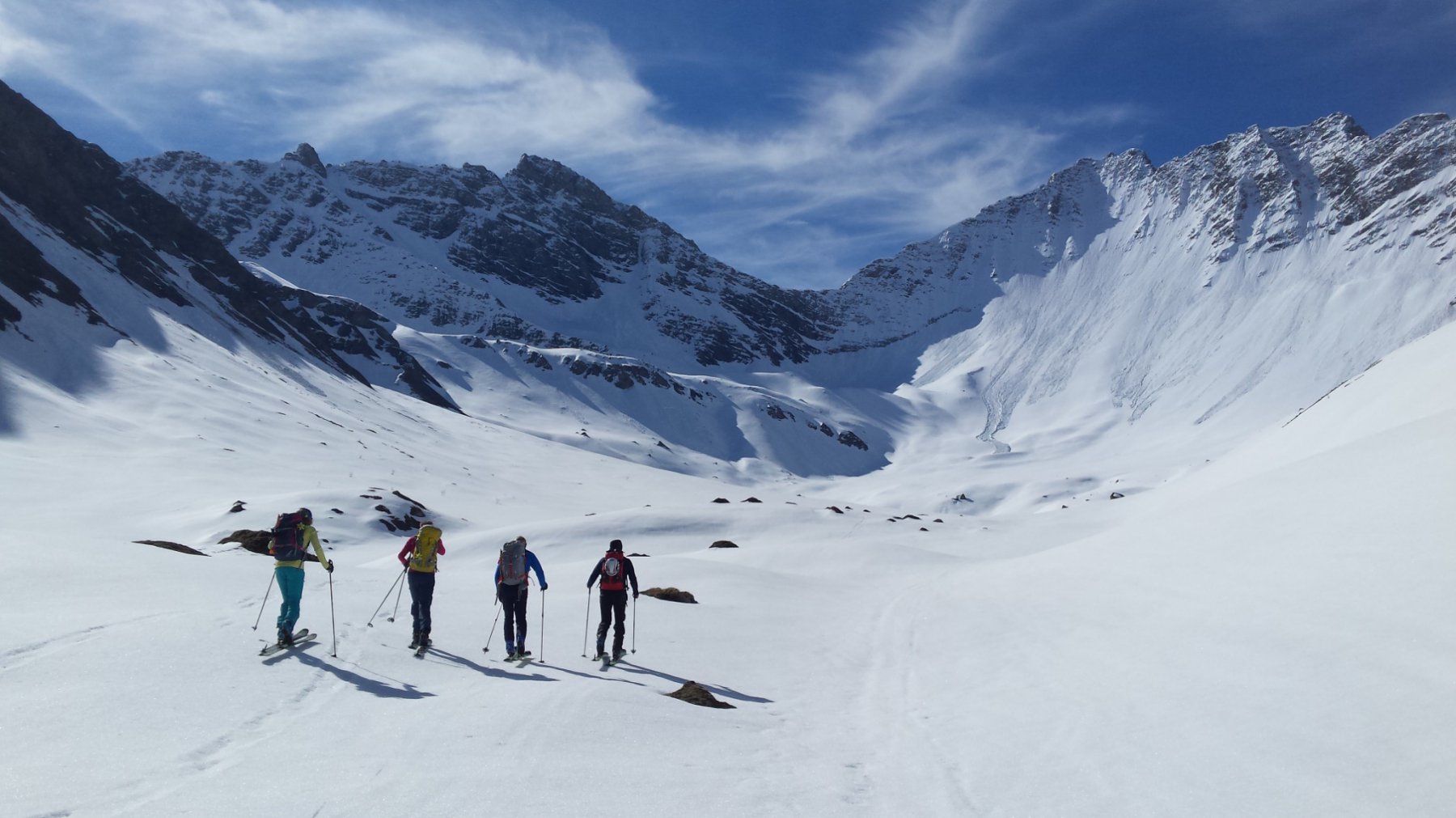
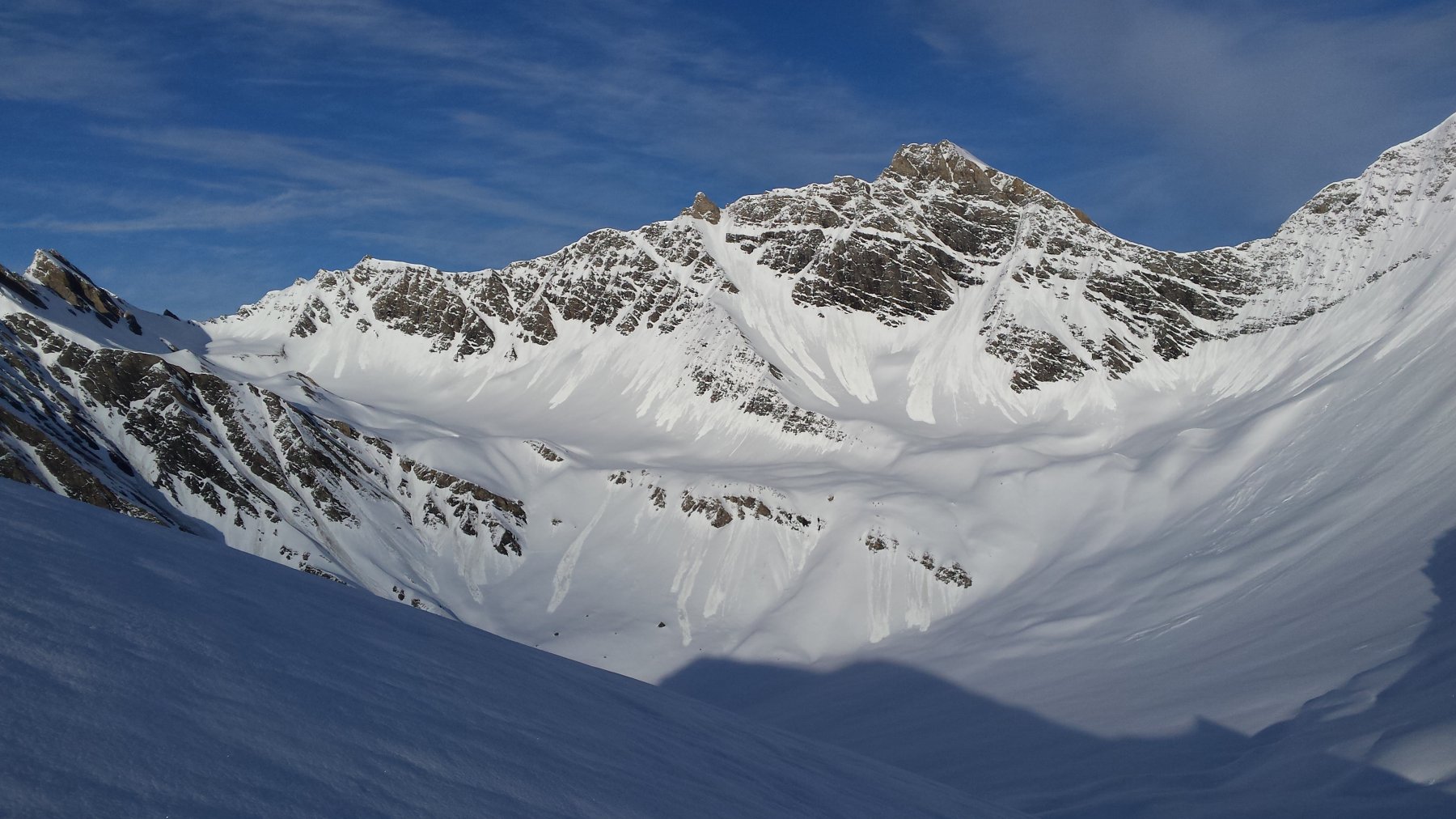
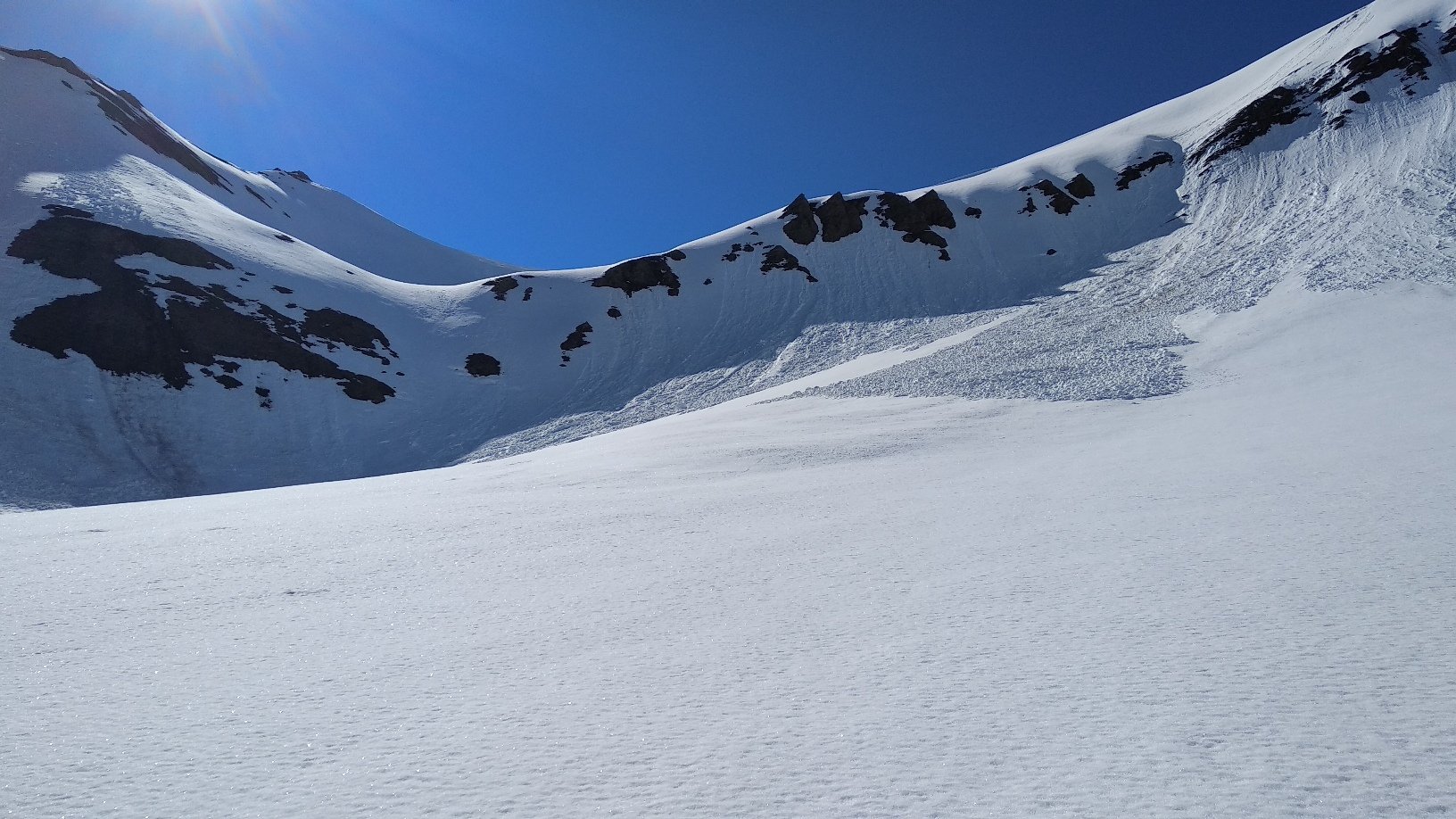
Superati pendii più ripidi sovrastati dalla rocciose e verticali pareti del Grande Rochère e della Guglia di Bonalè, si volge a sinistra per il risalire il ripido pendio che adduce al colletto posto a destra della Guglie di Malatrà.
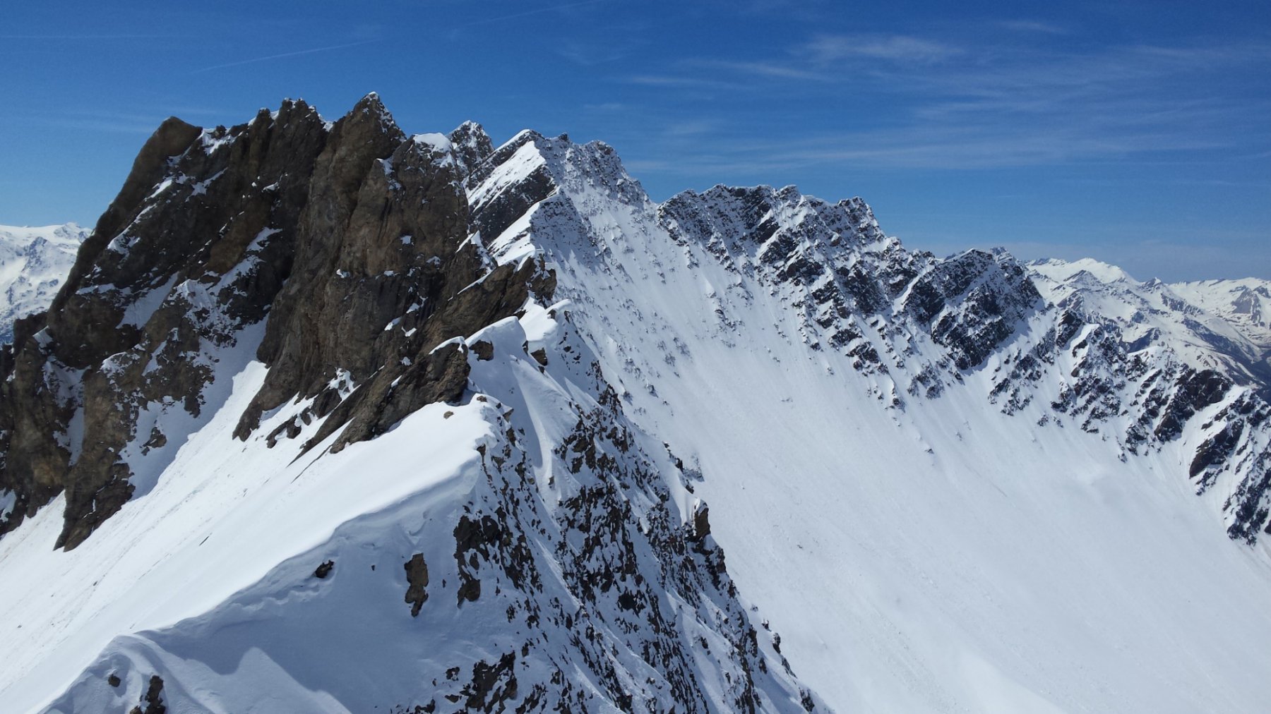
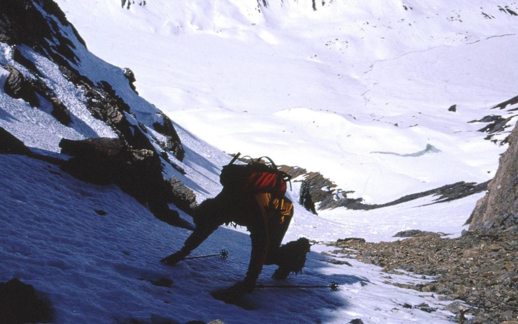
Dal colle alla vetta breve tratto di salita a piedi non proprio banale su esigue lingue di neve alternate a tratti di roccia stramarcia e traditrice…
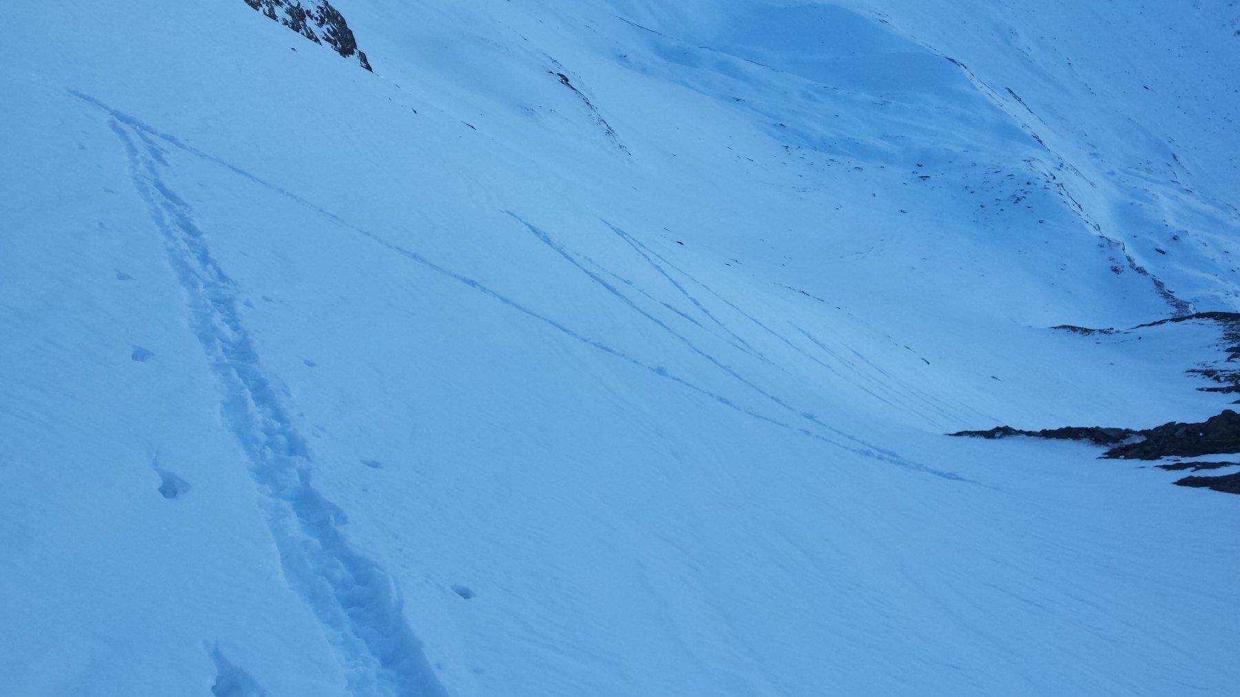
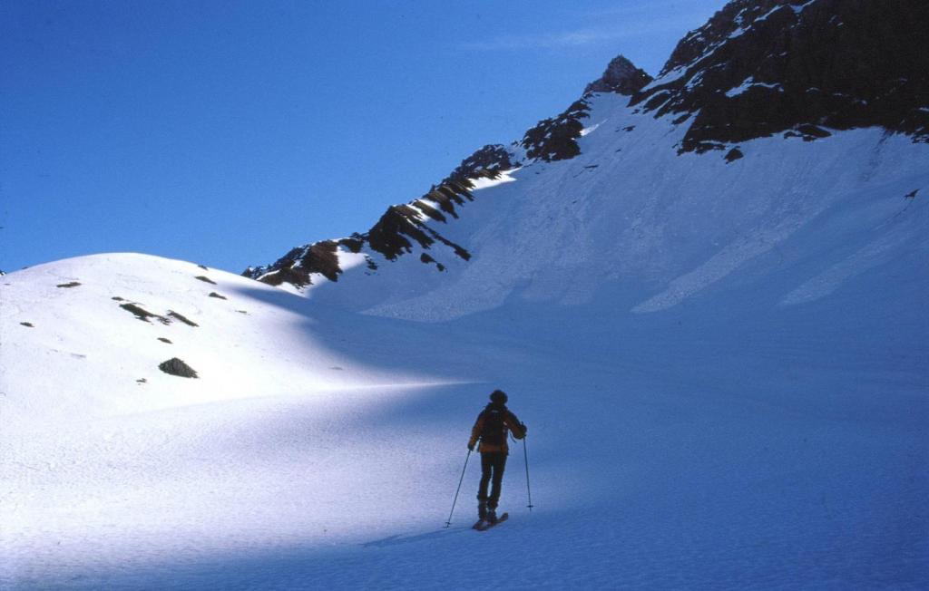
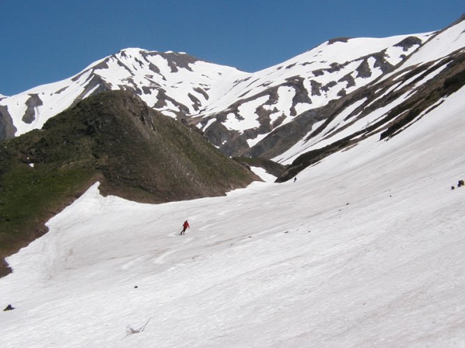
La discesa si svolge per l’itinerario di salita.
- Bibliografia:
- Itinerario n. 67 del libro “Dal Monviso al Sempione” di Aruga e Poma. Centro di Documentazione Alpina.
Nelle vicinanze Mappa
Itinerari
24/03/2024 AO, Courmayeur D+ 1268 m BS Ovest
Malatrà (Col de) da Lavachey
 50m
50m
30/03/2025 AO, Courmayeur D+ 942 m MS Nord-Ovest
Entre Deux Sauts (Tète) da Lavachey
 50m
50m
03/06/2017 AO, Courmayeur D+ 1570 m BSA Ovest
Volluz (Pointe) da Arnouva
 3.7Km
3.7Km
16/06/2018 AO, Courmayeur D+ 1253 m BS Nord-Ovest
Angroniettes (Aiguille des) da Lavachey
 3.7Km
3.7Km
07/06/2019 AO, Courmayeur D+ 951 m BS Ovest
Bellecombe (Mont) o Bella Comba da Arnouva
 3.7Km
3.7Km
13/06/2019 AO, Courmayeur D+ 1807 m BSA Sud
Grapillon (Monte) da Arnouva
 3.7Km
3.7Km
30/12/2023 AO, Courmayeur D+ 2600 m BS Varie
Bandarray, Fourchon, Saint Rhemy, Malatrà (Colli) dalla Val Ferret, anello
 3.7Km
3.7Km
29/05/2004 AO, Courmayeur D+ 964 m BS Sud-Ovest
Ferret (Tete de) da Arnouva
 3.7Km
3.7Km
26/04/2026 AO, Courmayeur D+ 2050 m OS, PD Sud
Dolent (Mont) da Arnouva
 3.7Km
3.7Km
18/02/2020 AO, Courmayeur D+ 770 m MS Nord-Ovest
Saxe (Mont de la) da Planpincieux
 4.8Km
4.8Km