850m
850m
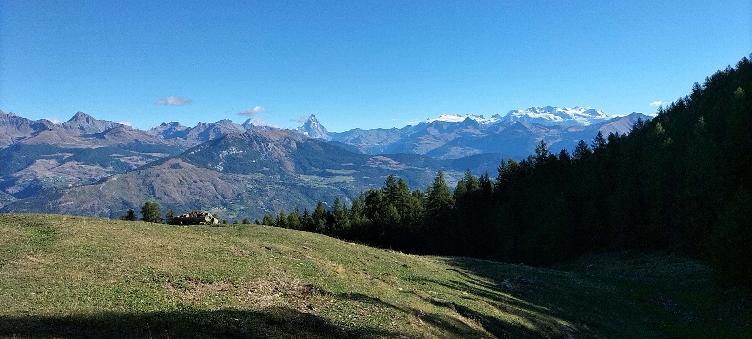

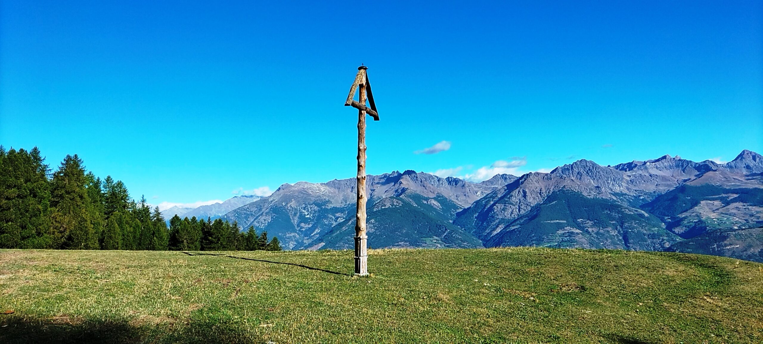
Avvicinamento
 50m
50m
50m
50m
50m
50m
50m
50m
50m
50m
50m
50m
50m
50m
50m
50m
50m
50m
50m
50m
.
Descrizione
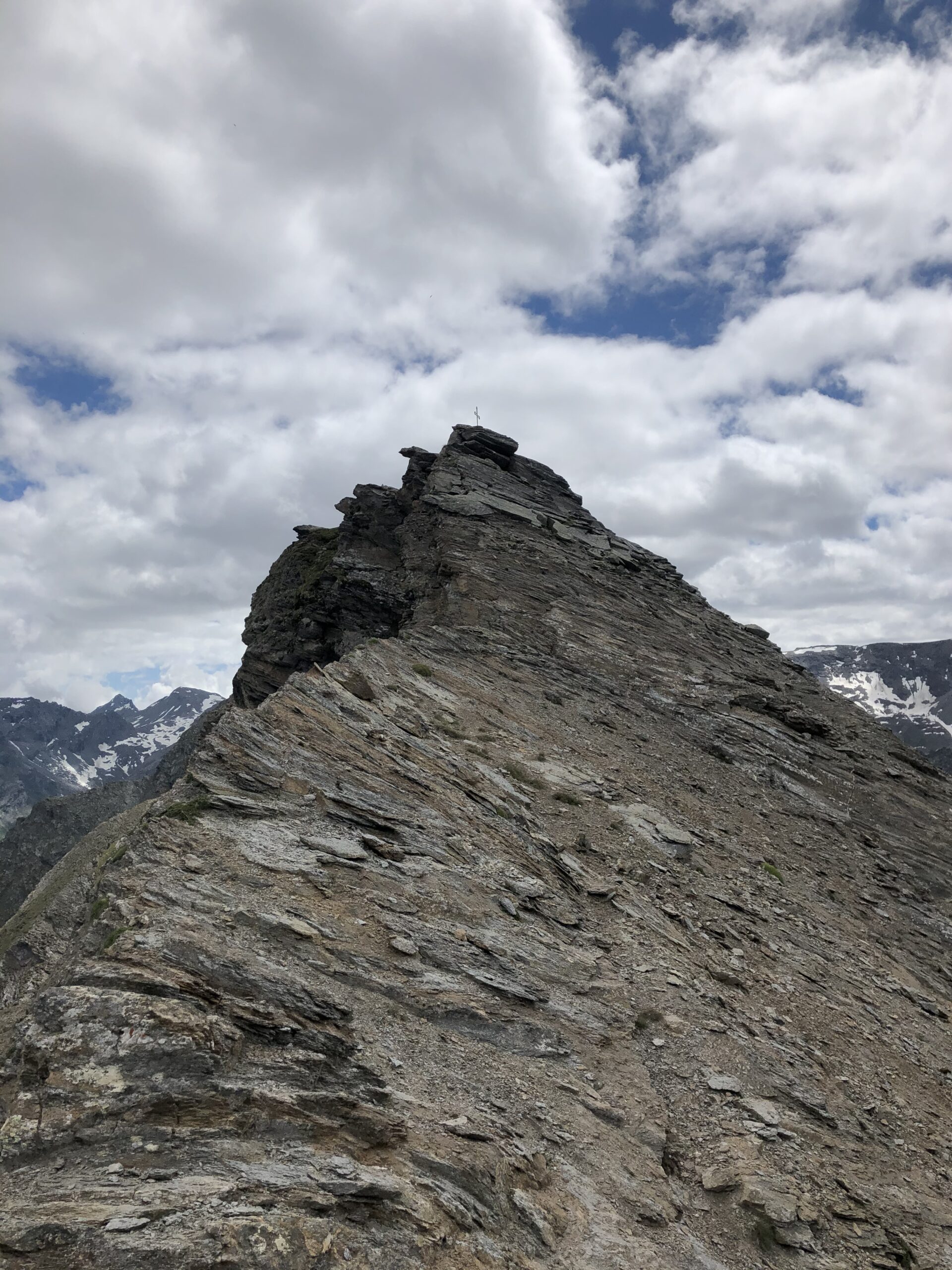
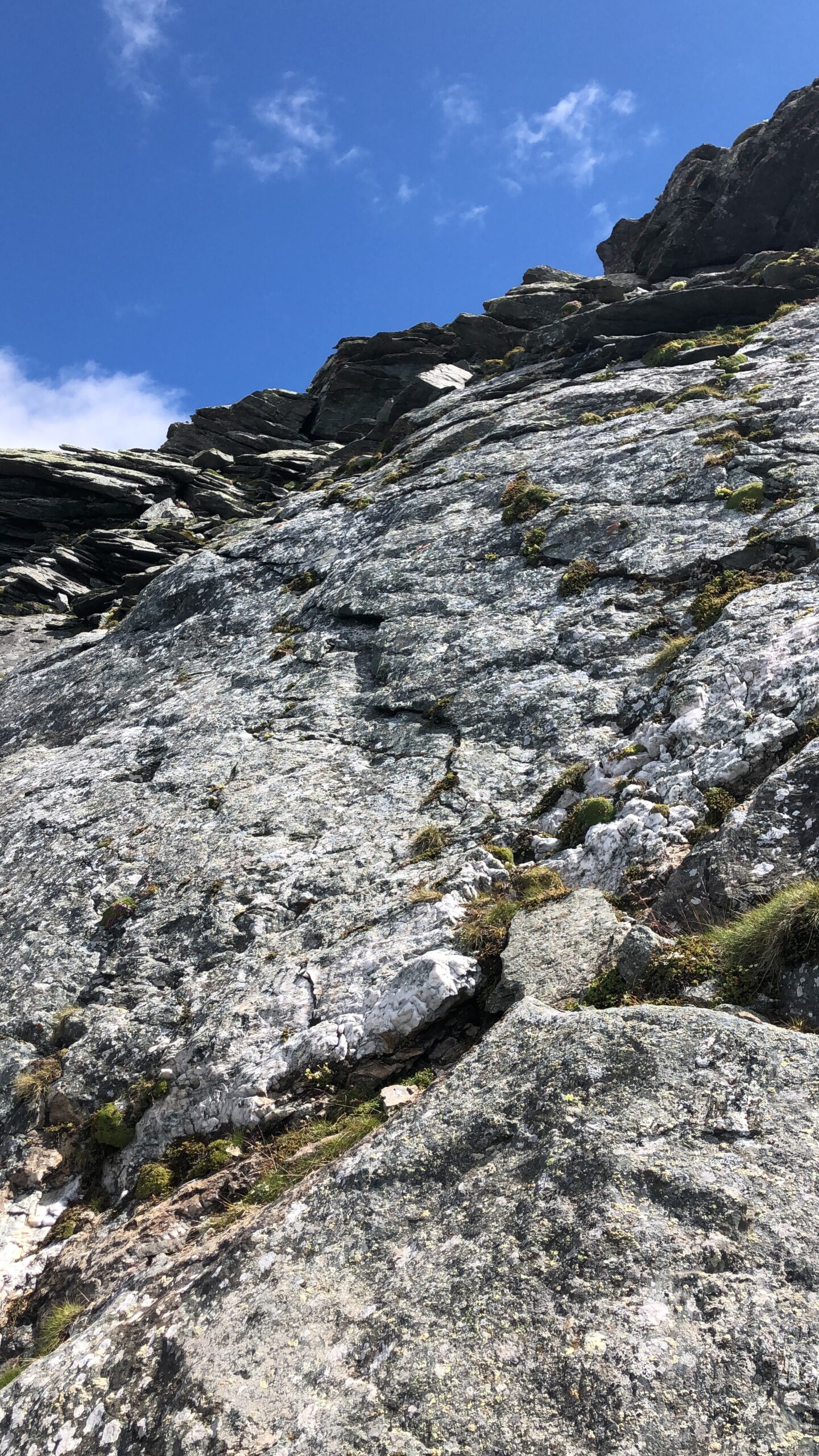
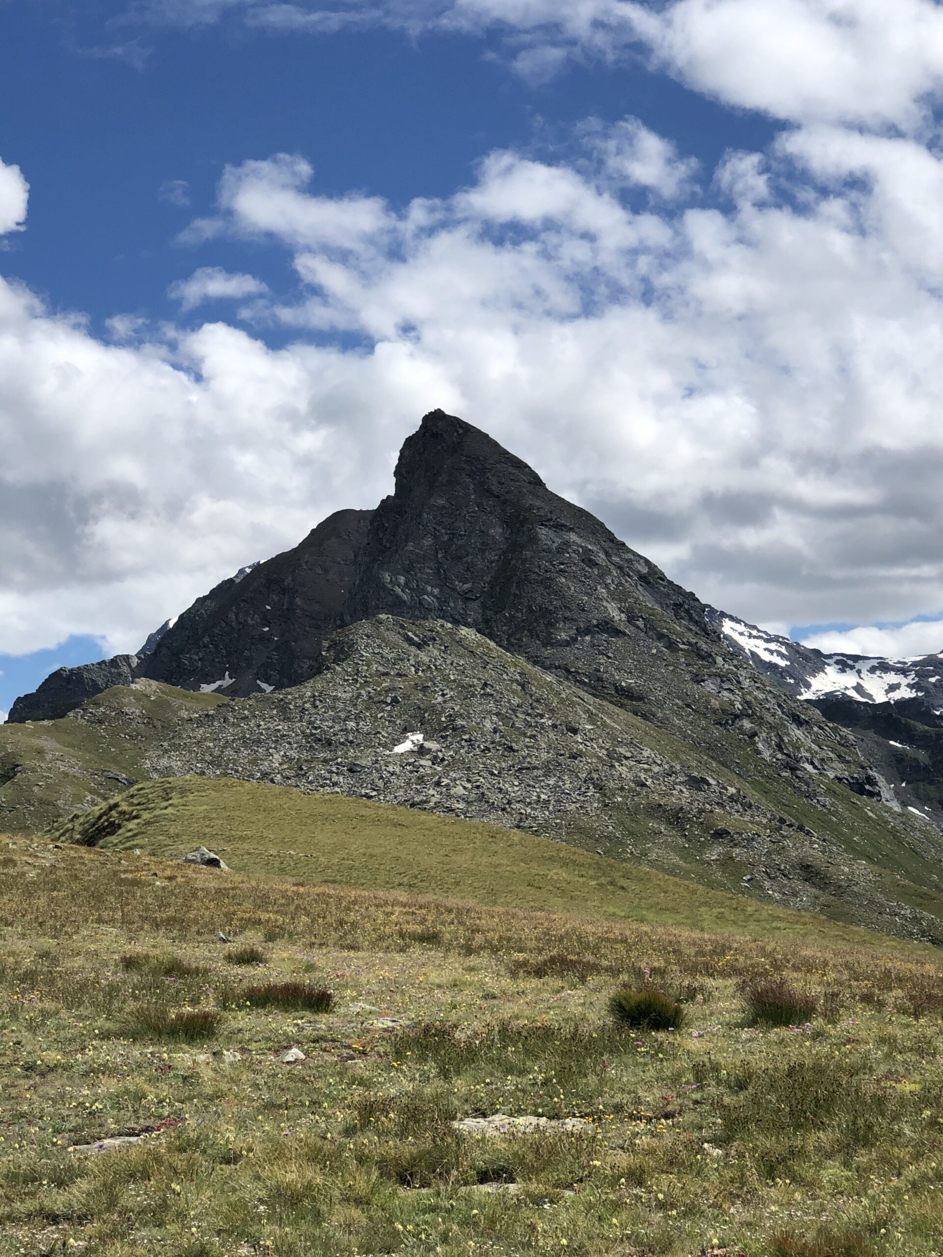
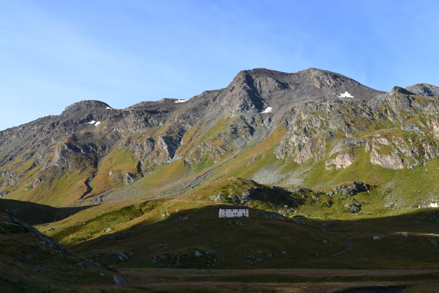
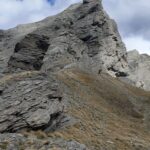
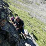
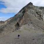
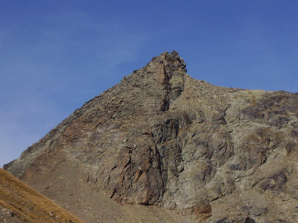
Dalle Druges Damon salire facendo qualche taglio al sentiero n14 che porta all incrocio di Prapremier, da qui seguire il sentiero che porta al col Crotey. Dal Col Crotey il sentiero non c’è più quindi seguire più il filo di cresta per evitare la pietraia fino al col belfront (si avrà sempre la Plan Rue in vista), arrivati al col Belfront e quindi sotto la parete nord-ovest, cominciate a risalirla prima su facile roccette poi su grossi sassi si arriva sotto una grossa placca liscia aggirarla sulla destra e continuare a risalire su detriti un po’ instabili. Dopo una facile arrampicata si arriva alla cresta finale bella esposta dal lato Fenis che porta alla croce di vetta.
Per il ritorno seguito lo stesso tragitto dell’andata.EE fino al col Belfront Poi diventa F
Nelle vicinanze Mappa
Itinerari
06/05/2012 AO, Saint-Marcel D+ 223 m E Nord-Ovest
Servette (Miniera della) da les Druges
 50m
50m
30/08/2014 AO, Saint-Marcel D+ 2150 m EE Tutte
Leppe (Punta di) da Les Druges, anello valloni di Laures e Saint Marcel
 50m
50m
01/09/2022 AO, Saint-Marcel D+ 765 m E Nord-Ovest
Grand Chaux (Alpe) da les Druges
 50m
50m
08/08/2024 AO, Saint-Marcel D+ 1500 m E Nord
Petit Avert da Les Druges
 50m
50m
11/07/2021 AO, Saint-Marcel D+ 2100 m EE Varie
Laures (Colle di) da les Druges, giro del Monte Emilius per il Colle di Saint Marcel e Bivacco Menabreaz
 50m
50m
30/10/2022 AO, Saint-Marcel D+ 1350 m E Est
Saint Marcel (Colle di) da Les Druges
 50m
50m
06/09/2025 AO, Saint-Marcel D+ 1000 m EE Tutte
Corquet (Monte) da Les Druges, anello per il Vallone di Saint Marcel
 50m
50m
09/08/2025 AO, Saint-Marcel D+ 1950 m EE Varie
Leppe (Colle di) da les Druges per i Valloni di Saint Marcel e di Laures
 50m
50m
07/07/2023 AO, Saint-Marcel D+ 1400 m EE/F Varie
Grand Crete da Les Druges
 50m
50m
15/01/2024 AO, Saint-Marcel D+ 1800 m EE Varie
Leppe (Punta di) da Les Druges
 50m
50m